River Soar
The navigable Soar, twenty-four miles from the Trent up to Leicester through eighteen locks and riverside meadows
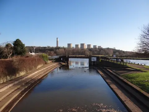
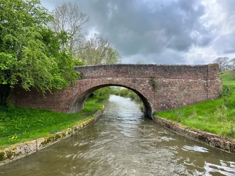
The River Soar navigation runs 24 miles from Trent Lock, where the Soar meets the River Trent on the Nottinghamshire border, upstream through eighteen locks to Leicester. It is a river navigation rather than a canal — long natural reaches linked by lock cuts where the current needed taming — and it forms the northern arm of the Grand Union Canal system, which carries on south from Leicester towards London.
The lower river was made navigable to Loughborough in 1778, and William Jessop extended it up to Leicester in 1794. For a time this was the main coal route into the town, and the towpath and warehouses along it date from that trade. Where the Soar meets the Trent at Trent Lock, the Erewash Canal also begins, so three waterways gather at one point.
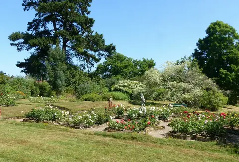
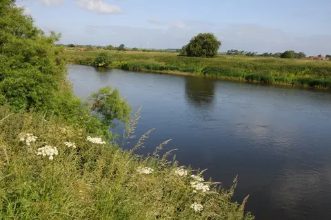
For a walker or boater it is easy, low-lying going, mostly through water meadows and flood plain with wooded stretches between. It passes Barrow upon Soar, the quarrying village of Mountsorrel, and Loughborough before reaching the edge of Leicester, where the navigation threads through the city centre past the National Space Centre and Abbey Park.
Both ends are well served by rail: Leicester and Loughborough are on the Midland main line, and Long Eaton lies near Trent Lock. That makes the Soar simple to walk in sections. In summer it can be busy with pleasure craft near the towns, but the middle reaches, between the locks, stay quiet.