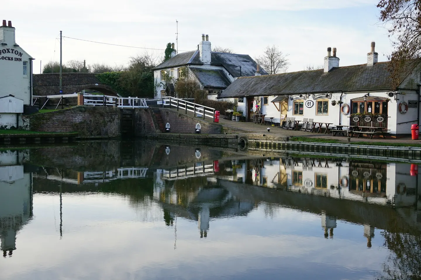
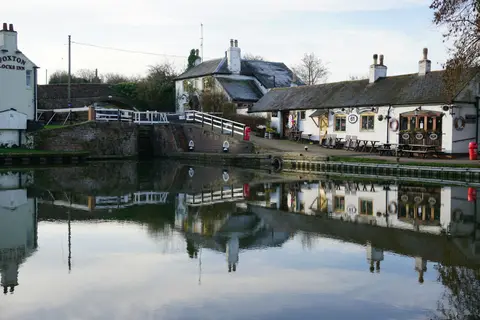
Foxton LocksPhoto Archie McDougall / Unsplash
Places to explore near Leicester
Roman Ratae stood where the Fosse Way crossed the River Soar, and Leicester has been a crossroads ever since — a hosiery and engineering city that drew the world's attention when Richard III's lost grave turned up beneath a car park. Charnwood Forest lifts to the north-west, some of England's oldest rock breaking through the fields at Bradgate Park and Beacon Hill, where deer graze among ancient oaks. West lies Bosworth Field, where Richard fell in 1485, and the Grand Union Canal threads south into the Northamptonshire uplands.
86 places within 25 km — the standouts first, nearest first within each group. 2 are national icons.
Worth the tripnational icons and local highlights within reach
Also nearbygood places nearby, nearest first

Everything else within 25 km (64) — reserves, earthworks & places to check before travelling
- Sheet Hedges Country ParkCountry park6.4 km NW
- The Baker's Arms, BlabyPub6.9 km S
- Leicestershire RoundLong-distance path7.3 km NW
- National Forest WayLong-distance path7.3 km NW
- Rothley WinesVineyard7.6 km N
- Newtown LinfordVillage7.9 km NW
- The Griffin Inn (Swithland)Pub8.8 km N
- Clarkes of QueniboroughFarm & farm shop9.4 km NE
- Broombriggs Farm Country ParkCountry park10.6 km NW
- Stoneywell CottageHouse & garden11 km NW
- Woodhouse EavesVillage11 km NW
- Beacon Hill Country ParkCountry park11.5 km NW
- The Star Inn 1744Pub13 km NE
- Jubilee Wood Country ParkCountry park13.7 km NW
- Bagworth Heath Woods Country ParkCountry park14.4 km W
- Kibworth Harcourt WindmillWindmill14.7 km SE
- The Joiners ArmsPub15 km S
- Burbage Common and Woods Country ParkCountry park16.1 km SW
- Jewry WallRoman bathsaccess unclear0.2 km S
- St Nicholas, LeicesterChurch0.2 km S
- Leicester CastleCastleaccess unclear0.5 km S
- Leicester abbeyAbbeyaccess unclear1.1 km N
- Gipsy Lane PitSSSIaccess unclear4.3 km NE
- Preceptory at Beaumont LeysPreceptoryaccess unclear4.9 km N
- Enderby Warren QuarrySSSIaccess unclear6.1 km SW
- Nether HallCounty topaccess unclear6.4 km E
- Groby CastleEarthworks of a former castleaccess unclear6.6 km NW
- Bradgate Park and Cropston ReservoirSSSI6.7 km NW
- Groby Pool and WoodsSSSI6.8 km NW
- Narborough BogSSSIaccess unclear7.4 km SW
- RothleyVillage8 km N
- Swithland Wood and The BrandSSSI8.1 km NW
- Buddon Wood and Swithland ReservoirSSSIaccess unclear8.2 km N
- Kilby - Foxton CanalSSSIaccess unclear8.2 km S
- Roecliffe Manor LawnsSSSIaccess unclear9.3 km NW
- Botcheston BogSSSIaccess unclear9.6 km W
- Ulverscroft ValleySSSIaccess unclear9.7 km NW
- The Lancaster ArmsPub9.7 km W
- Main Quarry, MountsorrelSSSIaccess unclear9.9 km N
- Benscliffe WoodSSSIaccess unclear10.1 km NW
- Mountsorrel motteEarthworks of a former castle10.2 km N
- Croft and Huncote QuarrySSSIaccess unclear10.4 km SW
- Croft HillSSSIaccess unclear10.7 km SW
- Johnsons' MeadowsSSSIaccess unclear11.1 km NW
- Croft PastureSSSIaccess unclear11.3 km SW
- Ulverscroft PrioryPrioryaccess unclear11.5 km NW
- Barrow Gravel PitsSSSIaccess unclear11.6 km N
- Cliffe Hill QuarrySSSIaccess unclear12 km NW
- Beacon Hill hillfort (Leicestershire)Hillfort12.2 km NW
- Earl Shilton motteEarthworks of a former castleaccess unclear13 km SW
- Kibworth HarcourtVillage14.3 km SE
- Bardon Hill QuarrySSSIaccess unclear14.7 km NW
- Bardon HillMarilynaccess unclear14.8 km NW
- Charnwood LodgeNational Nature Reserve14.8 km NW
- Sapcote CastleCastleaccess unclear14.8 km SW
- Holly Rock FieldsSSSIaccess unclear15.3 km NW
- The Blue BellPub15.4 km NE
- Saddington ReservoirSSSIaccess unclear15.5 km SE
- HobyVillage15.9 km NE
- Ives HeadSSSIaccess unclear16 km NW
- Frisby MarshSSSIaccess unclear16.1 km NE
- Cotes GrasslandSSSIaccess unclear16.2 km N
- Newhurst QuarrySSSIaccess unclear16.2 km NW
- Burbage Wood and Aston FirsSSSI16.4 km SW
Ordered by how far each place is worth travelling for, then by distance. Distances are straight-line to the nearest edge of each place — paths wind, of course.