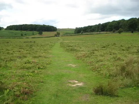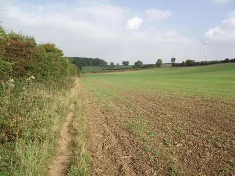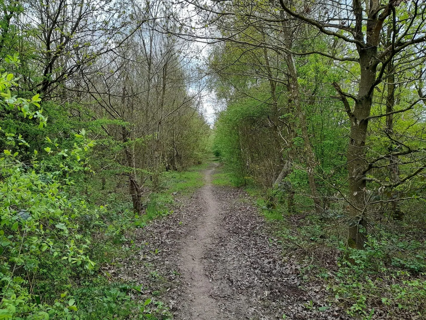
Seventy-five miles across the National Forest, from the Memorial Arboretum in Staffordshire to Beacon Hill in Leicestershire
Indicative — sampled from open terrain data along the simplified route.
The National Forest Way runs 75 miles across the National Forest, the belt of new woodland planted since the 1990s over the old coalfields and clay pits of the Midlands. It goes from the National Memorial Arboretum at Alrewas in Staffordshire to Beacon Hill Country Park in Leicestershire, crossing a corner of Derbyshire on the way. It is fully waymarked and split into twelve short stages of four to seven miles each, so it can be walked in either direction and picked up a stage at a time.
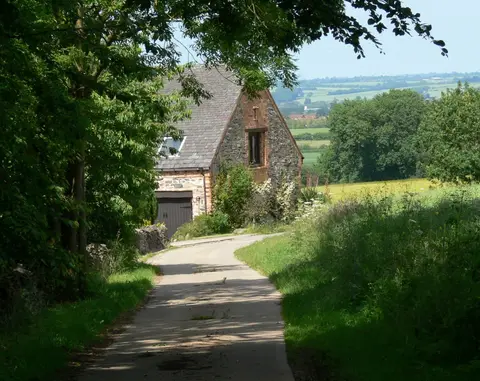
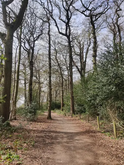
The landscape is the point of the route. It threads together young plantations and older ancient woods, reservoirs, reclaimed pit ground and country park, with the market town of Ashby-de-la-Zouch and its castle roughly at the midpoint. Much of the ground the path crosses was heavy industry within living memory — coal, brick and clay — and the walk is in effect a tour of a landscape being deliberately turned back to forest.
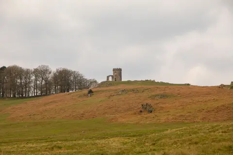
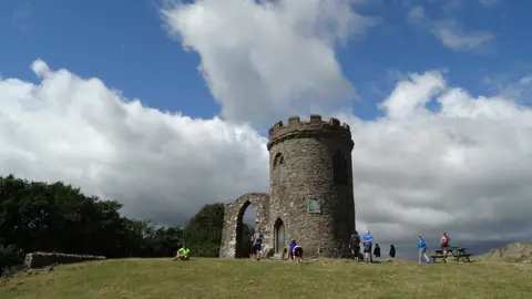
The walking is easy. The hills are low, the surfaces good, and the stages are short by long-distance standards; the two ends, at the Arboretum and on the heath of Beacon Hill, are the most scenic. It is never remote, running through and between villages for its whole length.
The short stages and the string of villages make it well suited to day walks, and buses connect many of the towns along the corridor for anyone piecing it together over time.