Thirty-eight miles of Brindley's coal canal from Coventry Basin north to the Trent & Mersey at Fradley
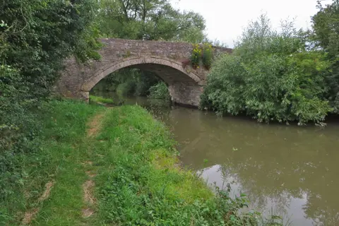
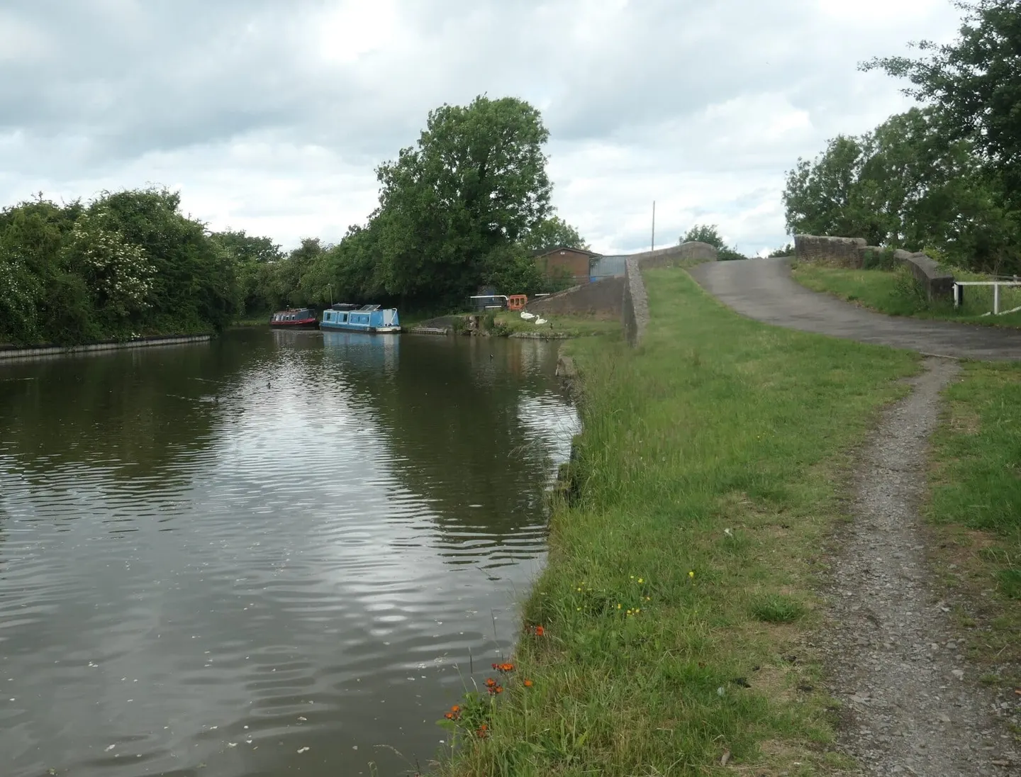
The Coventry Canal runs 38 miles from Coventry Basin, in the middle of the city, north through Warwickshire and into Staffordshire to Fradley Junction, where it meets the Trent & Mersey Canal. It has just 13 locks, most of them grouped in the Atherstone flight, so for long stretches the walking and cruising are level and unhurried. Work began under James Brindley in 1768, but money ran short and the full line was not open until 1790.
It was built to move coal. The Warwickshire coalfield around Bedworth and Nuneaton was the reason for it, and the canal carried fuel south toward London and north into the wider system for the best part of two centuries. That industrial past is still legible in places, though much of the route now runs through ordinary countryside and the edges of Nuneaton, Atherstone, Tamworth and Fazeley.
Two junctions give the canal its role in the network. At Hawkesbury, just north of Coventry, it meets the Oxford Canal, the link that made it part of Brindley’s “Grand Cross” of connected rivers. At Fazeley it meets the Birmingham & Fazeley Canal, the route into the Birmingham system. Between them the Atherstone locks, a flight of eleven, are the one sustained climb.
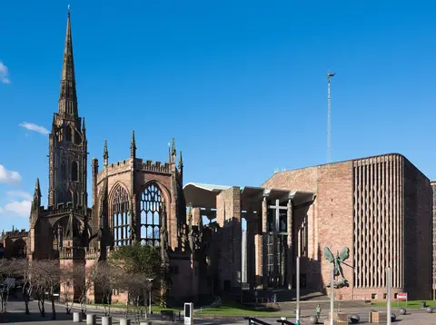
The canal is easy to walk in stages. Coventry, Nuneaton, Atherstone and Tamworth all have stations close to the water, so a day’s towpath walk can be started and finished by train, and the Coventry Basin end sits within a short walk of the city centre.