Twenty-two lock-free miles across south Leicestershire, from the Coventry Canal past Bosworth Field to Snarestone
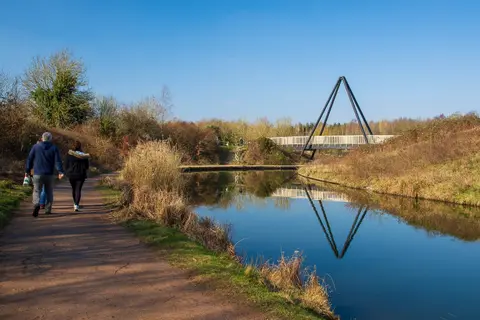
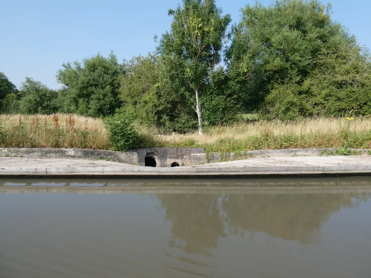
The Ashby Canal is one of the longest lock-free stretches of canal in England. It leaves the Coventry Canal at Marston Junction, near Nuneaton, and winds north for 22 miles through the farmland of south Leicestershire to end, without ceremony, at Snarestone. Because it holds to a single level the whole way, following the contour rather than cutting across it, there is not a lock to work on the entire navigable line. That makes it an unhurried, forgiving cruise, and an easy towpath walk.
The canal was built between 1794 and 1804 to carry coal and lime out of the Ashby coalfield, with Robert Whitworth as engineer. It once ran a further eight miles north to the collieries at Moira, but mining subsidence undermined that end, and the section beyond Snarestone was closed in stages through the mid-20th century. A restoration project is slowly reopening it; for now Snarestone is the head of navigation.
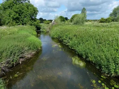
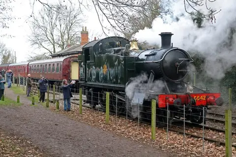
Along the way it passes close to Market Bosworth and skirts the western edge of Bosworth Battlefield, where Richard III was killed in 1485. The scenery is gentle rather than dramatic — hedged fields, brick bridges, the occasional village — and the canal keeps company with the preserved Battlefield Line steam railway for part of its length.
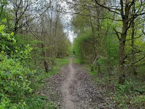
Access is straightforward. The towpath is walkable throughout, and the villages of Stoke Golding, Shackerstone and Snarestone give natural points to join or leave. Hinckley and Nuneaton, both with stations, lie near the southern end, though the canal itself passes no railway. It sits partly in Warwickshire at its start before settling into Leicestershire for the rest of its run.