River Mease
A small Midlands river on the Leicestershire border, protected along its whole length for its fish and its crayfish
The Mease is a modest thing, twenty miles of clear lowland river running west along the Leicestershire and Derbyshire border to the Trent at Croxall. What it has is fish. It holds spined loach, bullhead and brook lamprey — small, fussy species that need clean gravel and steady flows — and white-clawed crayfish, the native crayfish that has been pushed out of most English rivers by the American signal crayfish and the disease it carries.
That is the whole reason for its protection, and the reason phosphate from farmland and sewage in this catchment has been argued over for years: the standards the river has to meet are strict, and building in the villages along it has been held up because of them.
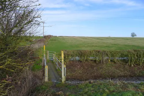
There is no long riverside path. Footpaths meet the water at Clifton Campville, Netherseal and Croxall, and the National Memorial Arboretum sits where the Mease joins the Trent, with riverside walks through the grounds. Tamworth and Burton-on-Trent are the nearest stations.