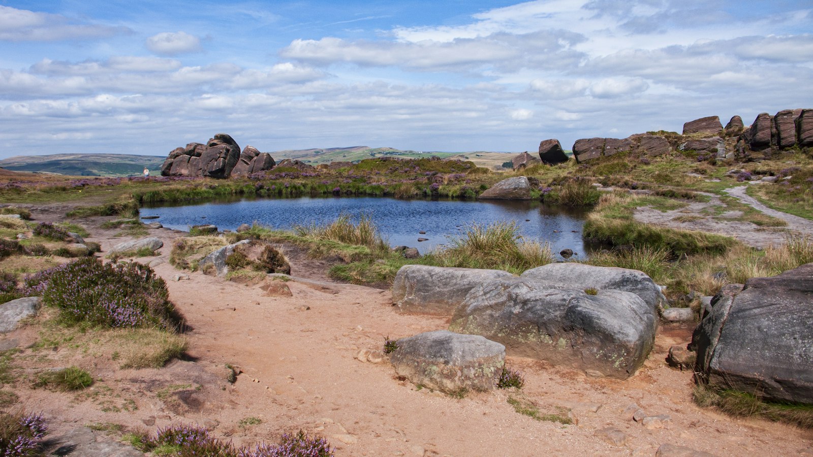
Photo Go Peak Walking / Unsplash
Places to explore in StaffordshireEngland · West Midlands
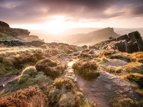
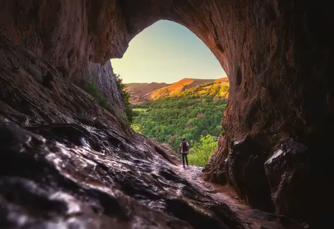
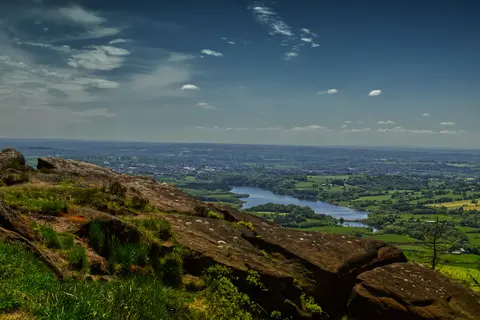
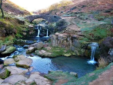
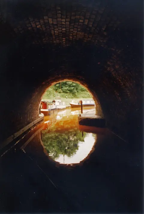
The gritstone edge of The Roaches rises in the north of Staffordshire, where the Peak District spills over the border and the Manifold Valley hides the great cavern of Thor's Cave. The heath and pine of Cannock Chase fill the centre, once a royal forest. This was the birthplace of English ceramics — the Potteries around Stoke, where Wedgwood and Spode built an industry — and the canals that carried it, such as the Trent & Mersey Canal, still thread the valleys. Shugborough keeps its grand estate on the Trent.
The best of Staffordshireworth the trip
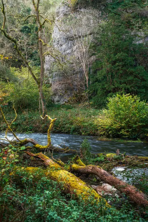
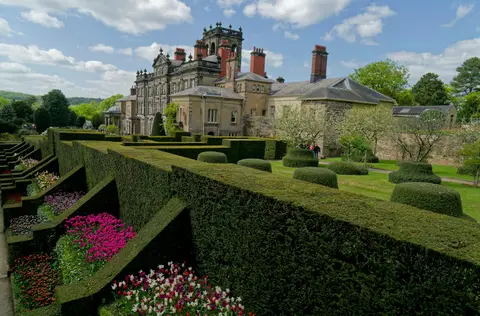

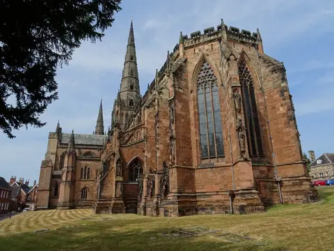
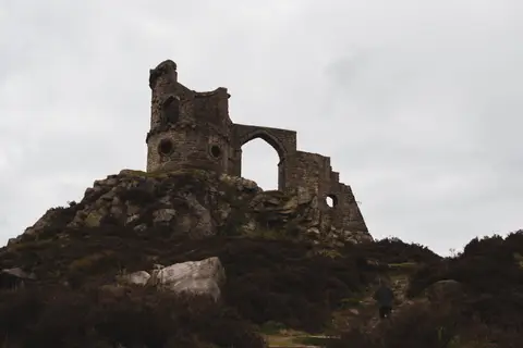
Other sights in Staffordshire 19
- The Roaches
- Thor's Cave
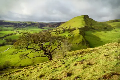
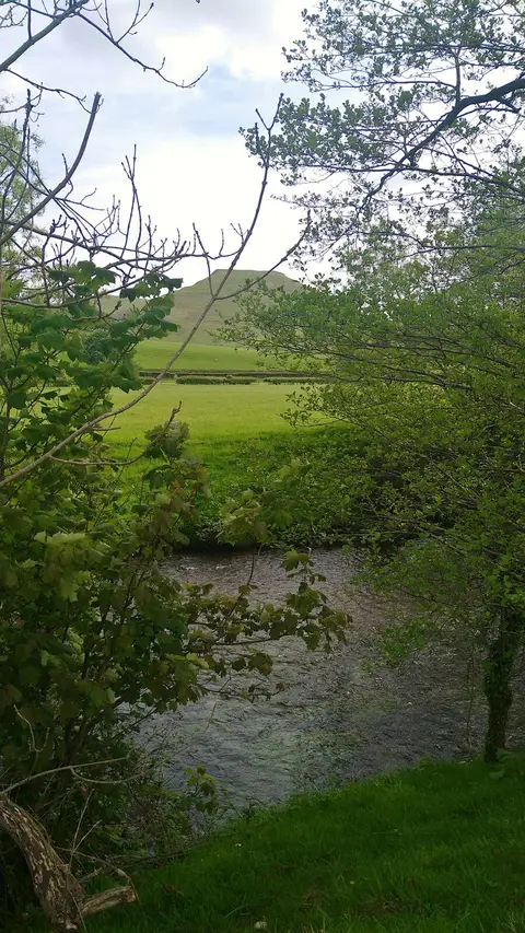
- Chrome Hill
- Dovedale
- Mow Cop Castle
- Harecastle Tunnel
- Manifold Valley
- Hen Cloud
- Lud's Church
- Middleport Pottery
- Trentham Monkey Forest
- Churnet Valley Railway
- Emma Bridgewater Factory
- Etruria Industrial Museum
- Gladstone Pottery Museum
Show all 19 other sights in Staffordshire
Houses & gardens in Staffordshire 16
- Biddulph Grange0.44 km²
- Shugborough2.7 km²
- Holy Austin Rock Houses
- National Memorial Arboretum
- Trentham Gardens4.4 km²
- Weston Park3.8 km²
- Dorothy Clive Garden
- Chillington Hall3.8 km²
- Enville2.9 km²
- German Military Cemetery0.03 km²
- Hanley Park0.25 km²
- Queen's Park, Longton0.18 km²
- Alton Towers0.9 km²
- Consall Hall Landscape Gardens
- Moseley Old Hall
Show all 16 houses and gardens in Staffordshire
- Burslem Park0.09 km²
Villages & towns in Staffordshire 17
- Abbots Bromley
- Ilam
- Alton
- Brewood
- Butterton
- Oakamoor
- Leek
- Alstonefield
- Cheddleton
- Kinver
- Longnor
- Tutbury
- Alrewas
- Flash
- Grindon
Show all 17 villages and towns in Staffordshire
Lakes & lochs in Staffordshire 2
Protected landscapes in Staffordshire 2
- Peak District1,438 km²
- Cannock Chase69 km²
Nature reserves in Staffordshire 74
- Kinver Edge1.2 km²
- Apedale Community Country Park1.5 km²
- Baggeridge Country Park0.56 km²
- Biddulph Grange Country Park0.3 km²
- Cannock Chase Country Park9.7 km²
- Chasewater Country Park3.1 km²
- Deep Hayes Country Park0.58 km²
- Greenway Bank Country Park0.49 km²
- Highgate Common Country Park1.2 km²
- Ilam Estate Country Park1.2 km²
- Ladderedge Country Park0.27 km²
- Hamps and Manifold Valleys10 km²
- Hawksmoor
- Toothill Wood
- Branston Water Park0.24 km²
Show all 74 nature reserves in Staffordshire
- Consall Nature Park1 km²
- Park Hall1.3 km²
- Leek Moors40 km²
- Alvecote Pools1.3 km²
- Churnet Valley3.5 km²
- Dove Valley and Biggin Dale6.9 km²
- Ecton Copper Mines1 km²
- Gentleshaw Common0.8 km²
- Stanton Pastures & Cuckoocliff Valley1.1 km²
- Thorncliffe Moor0.58 km²
- Wetley Moor0.69 km²
- Aqualate Mere2.1 km²
- Allimore Green Common0.03 km²
- Belvide Reservoir0.89 km²
- Blithfield Reservoir4.6 km²
- Burnt Wood0.41 km²
- Caldon Dales0.14 km²
- Cannock Extension Canal0.05 km²
- Combes Valley1.1 km²
- Dimmings Dale & The Ranger0.23 km²
- Doley Common0.17 km²
- Doxey and Tillington Marshes1.3 km²
- King's and Hargreaves Woods0.58 km²
- Swineholes Wood and Black Heath0.46 km²
- Chartley Moss0.44 km²
- Hulme Quarry0.41 km²
- Mottey Meadows0.43 km²
- Baswich Meadows0.13 km²
- Bath Pasture0.09 km²
- Betley Mere0.29 km²
- Big Hyde Rough0.11 km²
- Black Firs & Cranberry Bog0.11 km²
- Braken Hurst0.25 km²
- Brownend Quarry0.02 km²
- Caldon Low0.01 km²
- Cauldon Railway Cutting0.02 km²
- Checkhill Bogs0.13 km²
- Colshaw Pastures0.03 km²
- Cop Mere0.37 km²
- Ford Green Reedbed0.06 km²
- Forest Banks0.45 km²
- Four Ashes Pit0.01 km²
- Froghall Meadow and Pastures0.11 km²
- Goat Lodge0.12 km²
- Gospel End Road Cutting0 km²
- Loynton Moss0.14 km²
- Maer Pool0.09 km²
- Metallic Tileries, Park House0.01 km²
- Moss Carr0.08 km²
- Old River Dove, Marston on Dove0.02 km²
- Pasturefields Salt Marsh0.08 km²
- Rawbones Meadow0.21 km²
- Rue Hill0.16 km²
- Saltersford Lane Meadows0.04 km²
- Stafford Brook0.07 km²
- Stowe Pool and Walk Mill Clay Pit0.08 km²
- The Wilderness & Vermin Valley0.05 km²
- Whiston Eaves0.1 km²
- Wollaston Ridge Quarry0 km²
Ancient stones in Staffordshire 6
- Letocetum (Wall Roman Site)
- Berry Ringearthworks
- Berth Hillearthworks
- Bunbury hillfortearthworks
- Kinver campearthworks
- Multivallate hillfort at Bury Bankearthworks
Churches in Staffordshire 6
Trails in Staffordshire 6
- Monarch's Way1006 km
- Heart of England Way167 km
- Gritstone Trail56 km
- Limestone Way74 km
- National Forest Way121 km
- Staffordshire Way148 km
Windmills in Staffordshire 2
Waterfalls in Staffordshire 1
Pubs & restaurants in Staffordshire 16
- The Duncombe Arms
- The George (Alstonefield)
- The Holly Bush Inn
- The Lazy Trout
- The Meynell Arms
- The Red Lion (Newborough)
- The Watts Russell Arms
- The Whittington Arms
- Three Horseshoes Inn
- Ye Olde Dog & Partridge
- The Black Lion
- The Boat Inn (Cheddleton)
- The Manifold Inn
- The Mill at Worston
- The Seven Stars
Show all 16 pubs and restaurants in Staffordshire
Castles & strongholds in Staffordshire 10
Farms, vineyards & producers in Staffordshire 9
Waterways in Staffordshire 9
Abbeys & priories in Staffordshire 7
- Croxden Abbeyruin
- Burton upon Trent Abbeyruin
- Dieu-la-Cres Abbeyruin
- Hulton Abbeyruin
- Ranton Prioryruin
- St Thomas' Prioryruin
- Rocester Abbeybelow ground
Country estates in Staffordshire 3
Hills & peaks in Staffordshire 3
- Cheeks Hill519 m
- Gun385 m
- Meir Heath250 m
Roman sites in Staffordshire 3
- Engleton Hall Roman villaearthworks
- Hales Roman Villaearthworks
- Two Roman camps near Greensforgeearthworks