Thirty-five miles along the western edge of the Peak, from Disley to Kidsgrove above the Cheshire Plain
Indicative — sampled from open terrain data along the simplified route.
The Gritstone Trail runs 35 miles down the western edge of the Peak, from Disley in Cheshire to Kidsgrove in Staffordshire. It keeps to the gritstone hills that overlook the Cheshire Plain, just outside the national park boundary, and is usually walked in three days. With around 5,900 feet of ascent packed into its length, it is the most demanding of the region’s shorter trails, a succession of climbs and drops rather than a level valley walk.
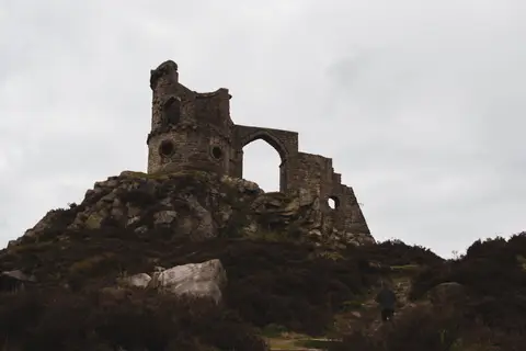
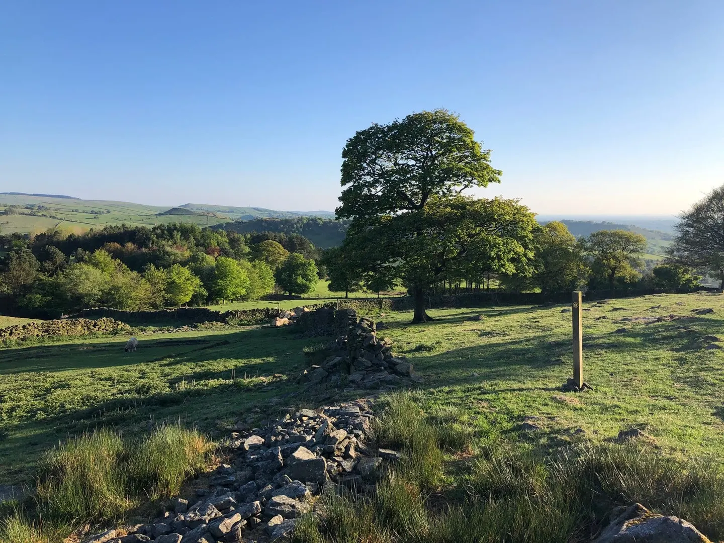
The reward for the effort is the view. For much of the way the path holds to high, open ground with the whole plain spread out to the west, and it strings together a run of well-known viewpoints: Lyme Park above Disley, Bollington under the hilltop monument of White Nancy, the crags of Tegg’s Nose above Macclesfield, and The Cloud, the last steep hill before the finish. The rock underfoot is millstone grit throughout, dark and coarse, which gives the trail its name.
Between the tops it passes through farmland, wood and the odd former mill village, a reminder that this edge of the Peak District was worked as hard as it was walked.
The route was created by Cheshire County Council, linked from existing footpaths along the ridge, and is waymarked with a millstone motif. Disley has a station on the line between Manchester and Buxton, and there are stations near the southern end too, so the trail can be reached by train and broken into day sections.