Macclesfield Canal
A high-level Cheshire canal along the Peak District edge, with a single flight of locks at Bosley
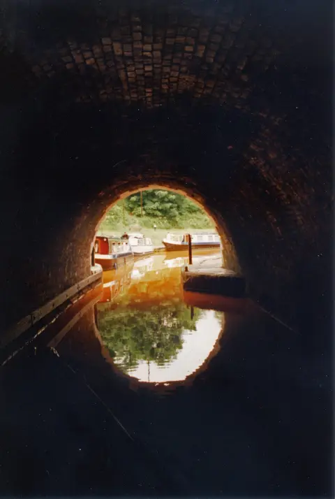
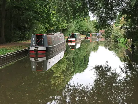
The Macclesfield Canal runs 26 miles along the western edge of the Peak District, from Marple in the north, where it leaves the Peak Forest Canal, south to Hall Green, where it joins the Trent and Mersey Canal near Kidsgrove. It is a high, contour-hugging canal that keeps to one level for most of its length, so almost all of its locks are gathered into a single flight of twelve at Bosley, which steps it down more than a hundred feet in a couple of miles.
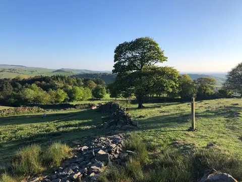
Because it holds its height, the canal is one of the more scenic in the network, running along a shelf of hillside with the gritstone moors of the Peak rising close on the eastern side. It passes through Bollington, on a tall stone embankment above the town, and skirts Macclesfield and Congleton, with views out over the Cheshire plain to the west. The towpath is a popular, level walking and cycling route, and the graceful “snake” or roving bridges, which let a towing horse cross without unhitching, are a recognisable feature of the line.
The canal was surveyed by Thomas Telford and opened in 1831, one of the last of the narrow canals to be built before the railways took over. Its purpose was to give the Peak Forest and the mills of Macclesfield a shorter route south towards the Potteries and the Midlands.
Both ends connect straight into the wider system — the Peak Forest Canal at Marple and the Trent and Mersey at Hall Green — which makes the Macclesfield a link in the popular Cheshire Ring circuit of canals as well as a route in its own right.