Places to explore in Greater ManchesterEngland · North West England
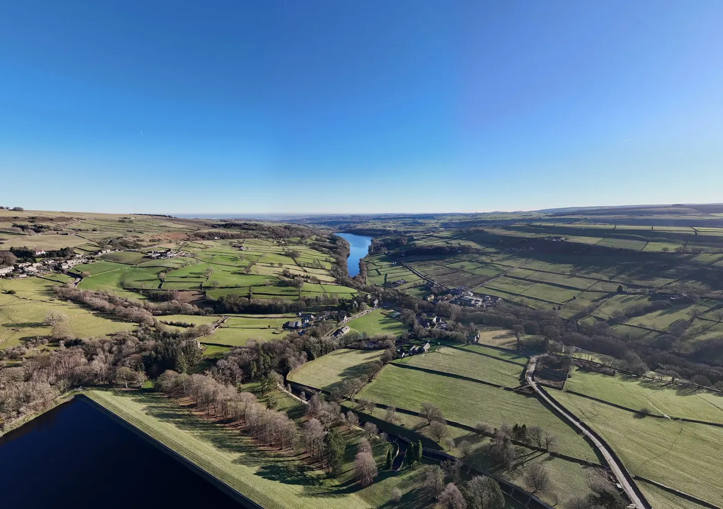
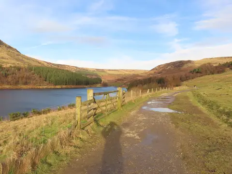
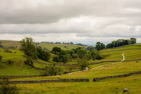
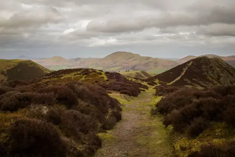
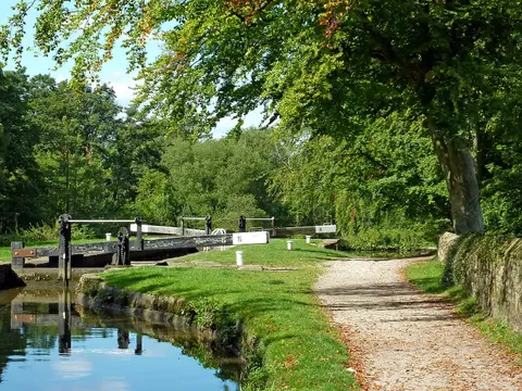
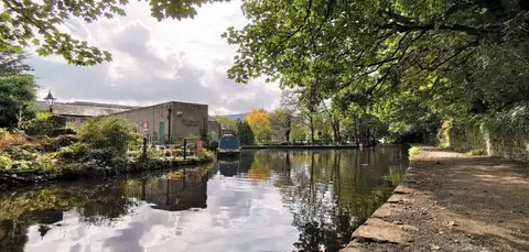
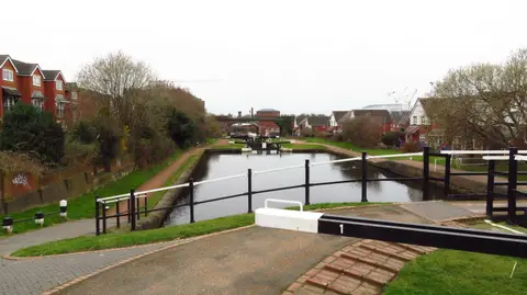
Manchester's sprawl is only part of the story. On the county's eastern rim the Pennine moors climb steeply, and the reservoirs of the Saddleworth valleys gather beneath the gritstone edges at Dove Stone. This was the cradle of the canal age. The Bridgewater Canal, opened in 1761 to carry coal into the city, was Britain's first true canal, and the Rochdale Canal later climbed the hills to cross the Pennines. Green breathing space survives close in, from the wooded gorge at Etherow to Daisy Nook and the hilltop views from Werneth Low.
The best of Greater Manchesterworth the trip

Other sights in Greater Manchester 6
Trails in Greater Manchester 2
- Pennine Bridleway330 km
- Pennine Way431 km
Waterways in Greater Manchester 8
Villages & towns in Greater Manchester 7
Houses & gardens in Greater Manchester 3
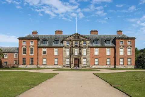
- Dunham Massey1.5 km²
- RHS Garden Bridgewater
- Alexandra Park, Oldham0.23 km²
Lakes & lochs in Greater Manchester 2
Protected landscapes in Greater Manchester 1
- Peak District1,438 km²
Nature reserves in Greater Manchester 45
- Blackleach Country Park0.29 km²
- Burrs Country Park0.3 km²
- Chadkirk Estate Country Park0.29 km²
- Clifton Country Park0.49 km²
- Daisy Nook Country Park0.41 km²
- Etherow Country Park0.68 km²
- Highfields Country Park0.29 km²
- Hollingworth Country Park0.71 km²
- Jumbles Country Park0.45 km²
- Moses Gate Country Park1 km²
- Pennington Flash Country Park1.8 km²
- Prestwich Country Park2 km²
- Reddish Vale Country Park1.6 km²
- Seven Acres Country Park0.31 km²
- Smithills Country Park7.9 km²
Show all 45 nature reserves in Greater Manchester
- Stalybridge Country Park0.43 km²
- Tandle Hill Country Park0.47 km²
- Werneth Low Country Park0.84 km²
- Worthington Lakes Country Park0.29 km²
- Mersey Vale Country Park0.15 km²
- Haigh Country Park1.6 km²
- Dark Peak318 km²
- South Pennine Moors209 km²
- West Pennine Moors76 km²
- Astley & Bedford Mosses0.92 km²
- Bryn Marsh & Ince Moss0.71 km²
- Risley, Holcroft and Chat Moss5.3 km²
- The Flashes of Wigan and Leigh7.4 km²
- Abram Flashes0.4 km²
- Compstall Nature Reserve0.13 km²
- Dunham Park0.79 km²
- Highfield Moss0.2 km²
- Hollinwood Branch Canal0.02 km²
- Ludworth Intake0.05 km²
- Ashclough0.06 km²
- Brookheys Covert0.02 km²
- Cotteril Clough0.11 km²
- Gale Clough and Shooterslee Wood0.09 km²
- Huddersfield Narrow Canal0.12 km²
- Ladcastle & Den Quarries0.03 km²
- Lowside Brickworks0.01 km²
- Nob End0.09 km²
- Red Moss0.47 km²
- Standedge Road Cutting0.04 km²
- Tonge River Section0.01 km²
Hills & peaks in Greater Manchester 7
- Blackstone Edge474 m
- Mellor Moor328 m
- Hoarstone Edge497 m
- Billinge Hill (N Top)169 m
- Newcombe Drive (Greenheys)116 m
- Heaton Park110 m
- St Mary's (Bowdon)67 m
Pubs & restaurants in Greater Manchester 3
Castles & strongholds in Greater Manchester 2
- Buckton Castleearthworks
- Watch Hill motteearthworks
Abbeys & priories in Greater Manchester 1
- Hanging Bridgeruin
Ancient stones in Greater Manchester 1
- Castlesteadsearthworks
Churches in Greater Manchester 1
Roman sites in Greater Manchester 1
- Eastern wall of the Roman fortearthworks