England's original long-distance trail, and honestly still one of the harder ones, so plan for that kindly
Indicative — sampled from open terrain data along the simplified route.
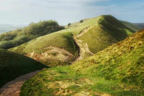
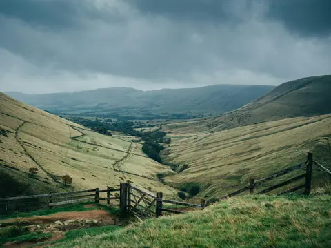
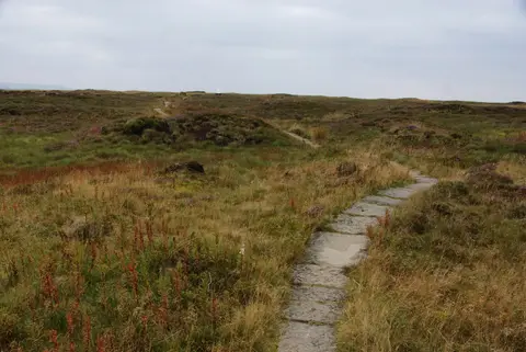
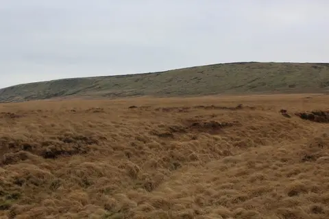
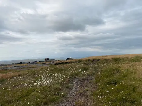
Let’s be straightforward about this one from the start: the Pennine Way has a reputation as the toughest of Britain’s National Trails, and fairly so. Opened in 1965 as the first of them, it runs 268 miles from Edale in the Peak District up through the Yorkshire Dales and North Pennines to Northumberland and the Scottish border at Kirk Yetholm. There’s a lot of open moorland in that distance, and some of it, the peat around Kinder Scout especially, can be genuinely hard going underfoot, wet or dry.
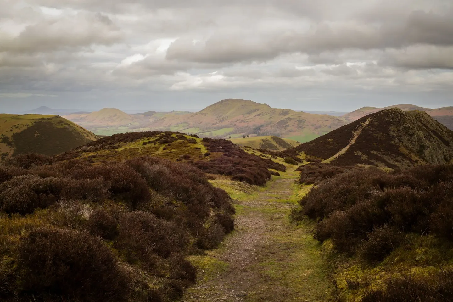
That’s not a reason to be put off. It simply means going in with realistic expectations: this is a trail that suits people who break it into a proper multi-week trip, or who tackle sections at a time over a season rather than one continuous slog, and there’s no less achievement in doing it that way. Landmarks like Nine Standards Rigg and Rogan’s Seat, visible from the path near Keld, mark out some of the wilder stretches, and pacing a day around them rather than a fixed mileage target tends to make for a much happier walk.
Weather on this ground changes fast, and visibility on the high sections can drop away with very little notice, so navigation skills — or a GPS route loaded in advance — matter more on this ground than on gentler trails. Good, well broken-in boots make a real difference over this kind of distance, and it’s worth planning accommodation and resupply points ahead of time, since some stretches are properly remote.
Taken steadily, with the difficulty respected rather than feared, it’s a trail plenty of ordinary walkers have finished and been proud of.