Open accesson open access land, where the right to roam applies
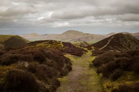
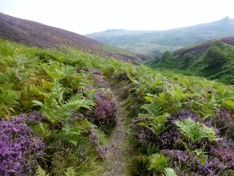
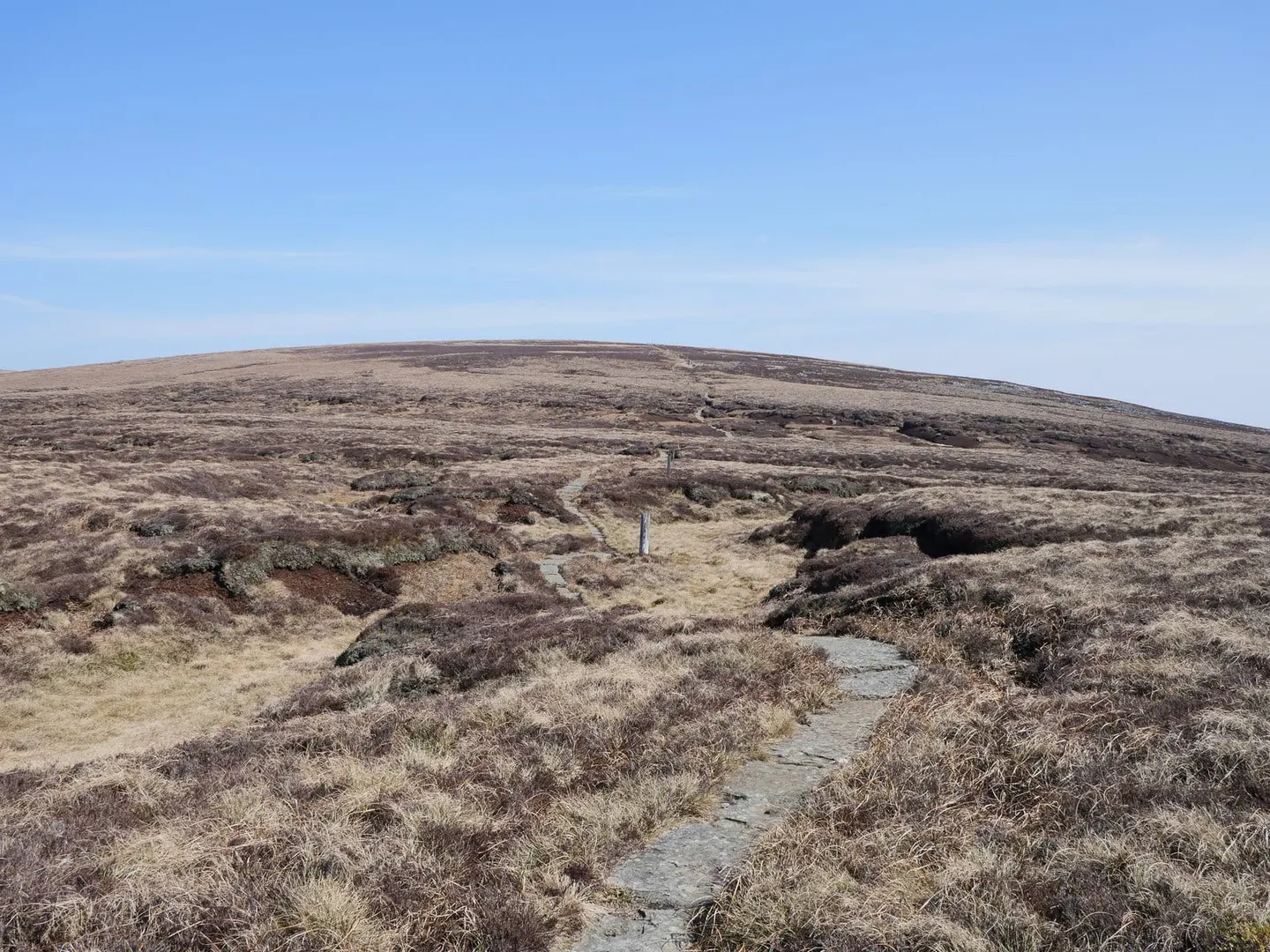
Cairn Hill West Top rises to 743 m (2,438 ft) in Northumberland. It is the highest point of the historic county of Roxburghshire. It is one of 15 hills the Albion Guide charts in Northumberland. It stands within Northumberland National Park National Park.
Other hills nearby include The Cheviot and Comb Fell.
More at hill-bagging.co.uk