Open accesson open access land, where the right to roam applies
Earthworks onlybanks, ditches and platforms — read the ground, not walls
Save this place
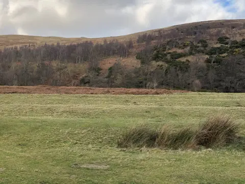
Middleton Dean promontory fort is one of four promontory forts the Albion Guide maps in Northumberland. It sits within Northumberland National Park National Park. Nearby ancient sites include Stone circle and stone alignment and Kettles hillfort. Chathill Station is 19.5 km away to the east.
Full name: Promontory fort 330m south east of Middleton Dean
More at the National Heritage List entry