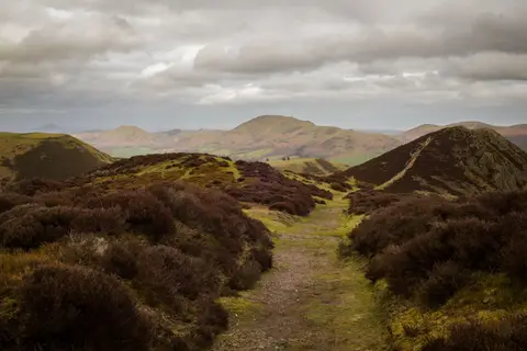
Northumberland's highest ground, a broad boggy plateau near the Scottish border with flagstones laid across the worst of it
Open accesson open access land, where the right to roam applies
At 816 metres, The Cheviot is the high point of Northumberland and the range it gives its name to, a big rounded lump of a hill rather than anything with a dramatic profile. That roundedness is the giveaway, if anyone’s in the mood for a bit of geology.
Underneath all that grass and peat is a solid chunk of granite: the cooled-off core of a volcano that was doing its thing back in the Devonian period, something like 400 million years ago. Everything softer around that granite core eroded away over the following hundreds of millions of years, leaving the tough stuff standing proud as the highest point for miles in any direction. It’s not obvious from the summit, since none of that granite is visible under the peat, but it’s the reason the hill’s here at all.
And the peat is the other thing to know before setting out. The summit plateau has a reputation, entirely deserved, for being one of the boggiest bits of high ground in England, thick black peat that can swallow a boot whole after wet weather. Stretches of flagstone track have been laid across the worst sections for exactly that reason, and sticking to them is by far the more comfortable option even when the surrounding ground looks tempting and dry.
It’s a long, remote day out either way, well away from road access and phone signal in places, so a map and boots that can survive real bog are the important preparation here, whatever the 816-metre summit height might suggest. Hedgehope Hill makes a good companion summit on the same outing, and Harthope Burn is a pleasant valley to walk in on. Give it a dry spell if possible, since the bog only gets worse after rain, and allow a full day rather than rushing it.
More at hill-bagging.co.uk