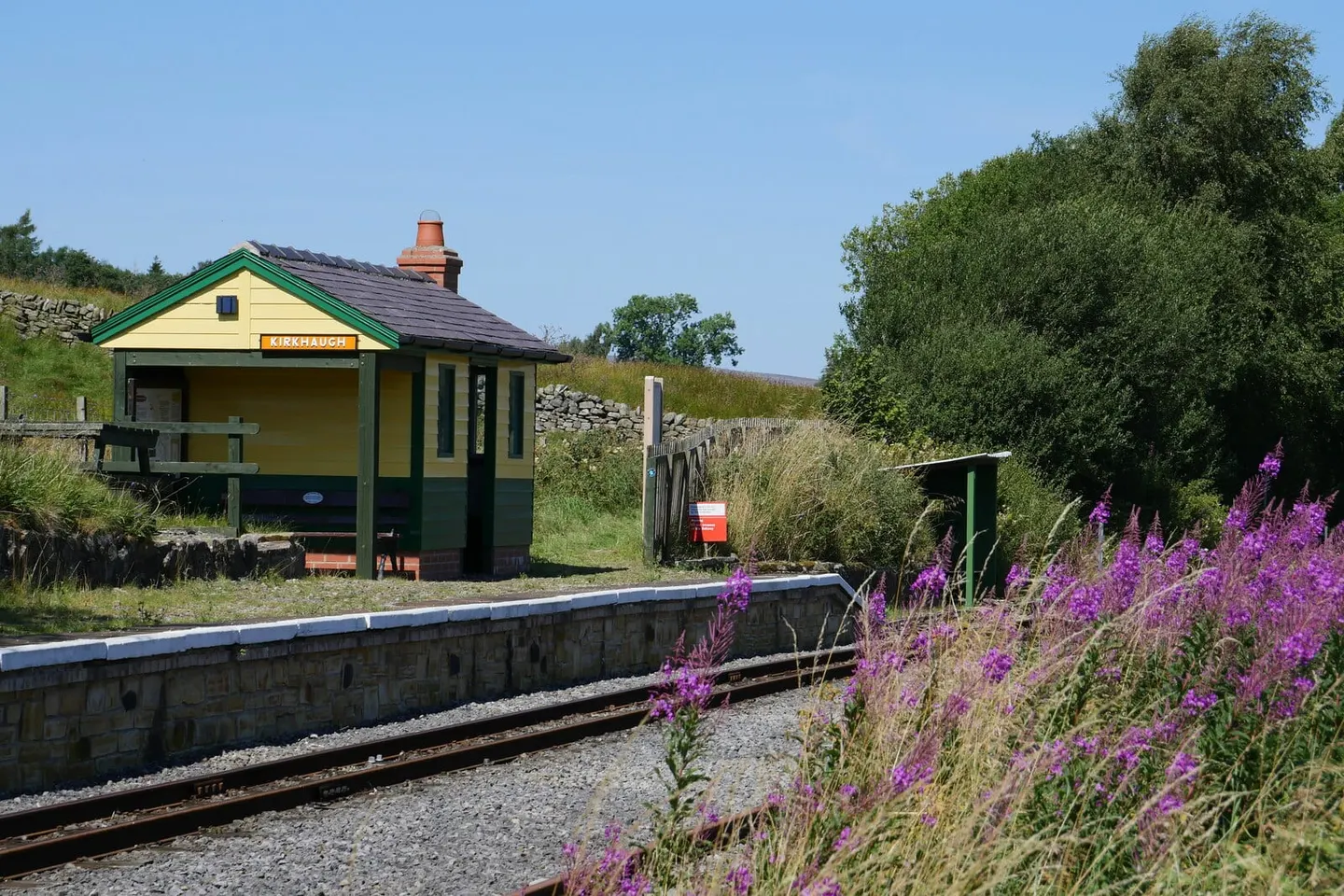
Places to explore near Alston StationAlston
Alston Station sits inside the North Pennines National Landscape. 36 places within 10 km — the standouts first, nearest first within each group.
Worth the tripnational icons and local highlights within reach

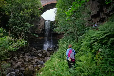
Also nearbygood places nearby, nearest first
Everything else within 10 km (28) — reserves, earthworks & places to check before travelling
- The Cumberland InnPub0.3 km S
- Alston Shingle BanksSSSIaccess unclear1.2 km S
- River Nent at BlagillSSSIaccess unclear2.3 km E
- Blagill MineSSSIaccess unclear2.4 km E
- Whitley CastleCastleaccess unclear3 km NW
- Kirkhaugh bridge abutmentsCastleaccess unclear3.1 km NW
- Allendale MoorsSSSI3.8 km NE
- Whitfield Moor and Ashholme CommonSSSI3.8 km NE
- Moorhouse and Cross FellSSSI4.2 km S
- River South Tyne and Tynebottom MineSSSIaccess unclear4.8 km SE
- Haggs BankSSSIaccess unclear5.2 km E
- Grey NagHewitt5.3 km W
- Whitesike Mine and Flinty FellSSSI5.4 km SE
- GarrigillVillage5.8 km SE
- Tom Smith's Stone TopNuttall6.1 km W
- Williamston River ShingleSSSIaccess unclear6.3 km NW
- Black Fell (Cumbria, 664m)Hewitt7.2 km W
- Flinty FellHewitt7.2 km SE
- The DoddHewitt7.5 km E
- Aules Hill MeadowsSSSIaccess unclear7.5 km NW
- Smallcleugh MineSSSI7.7 km SE
- Geltsdale & Glendue FellsSSSI8.4 km NW
- Knarsdale MeadowsSSSIaccess unclear8.8 km NW
- Ninebanks tower houseTower houseaccess unclear9.2 km NE
- River West Allen at Blackett BridgeSSSIaccess unclear9.3 km NE
- Bullman HillsNuttall9.4 km S
- Long Man HillNuttall9.4 km S
- Fiend's FellNuttall9.5 km SW
Ordered by how far each place is worth travelling for, then by distance. Distances are straight-line to the nearest edge of each place — paths wind, of course.