Isaac's Tea Trail
A 36-mile circuit of the North Pennines from Allendale, following the rounds of a Victorian tea seller
Indicative — sampled from open terrain data along the simplified route.
Isaac’s Tea Trail is a circular route of 36 miles through the North Pennines, one of the emptiest parts of England. Most walkers begin at Allendale and go clockwise, through Nenthead, Alston and Ninebanks and back to Allendale, over about three days. From Allendale it follows the River East Allen upstream, crosses high moor to Nenthead, then drops along the River Nent to Alston. A short stretch of the Pennine Way above the South Tyne leads back over the tops to the West Allen valley and home.
This is remote, high country, much of it open moorland with long gaps between houses, so it rewards decent weather and proper kit. It can be joined at any of the villages, and the small towns of Alston and Allendale make useful bases, though the trail keeps well clear of any railway. Nenthead and Alston sit just over the border in Cumbria; the rest is Northumberland.
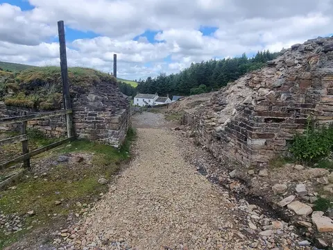
The route was laid out in 2001 and named after Isaac Holden (1805-1857), a former lead miner from the Allen valleys who turned to selling tea door to door as the drink caught on in the mid-19th century. Dressed in black, he walked these same dales and hamlets with his stock, and later raised money for a village hearse and other local causes. Much of the walk follows the tracks and packhorse ways that miners and traders like him would have used, past the ruins of the lead industry that once filled these hills with work.