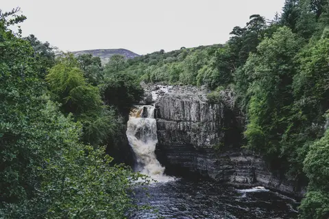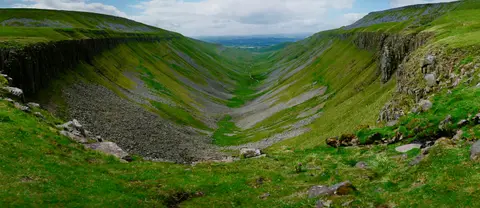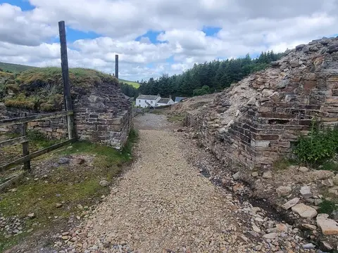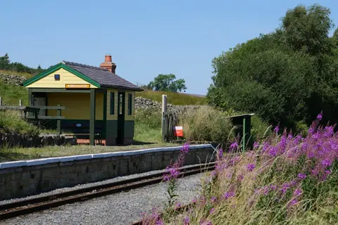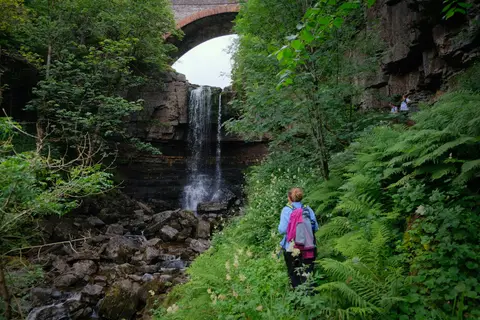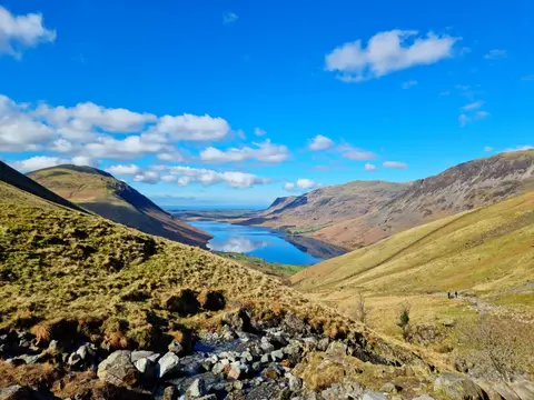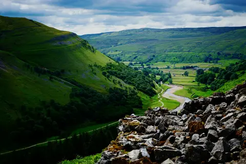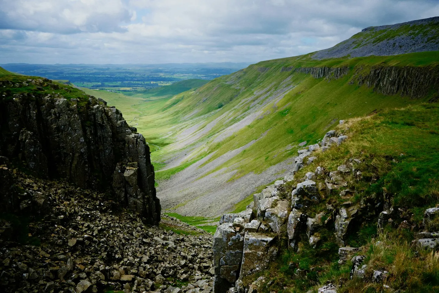
England's high, quiet backbone of moorland tops, waterfalls and old lead-mining dales, designated in 1988
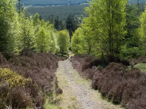
Wide, open and often empty, the North Pennines run for miles of heather moor and rough grass between the Eden Valley and the Durham dales. At nearly 2,000 km² it’s one of the largest of the National Landscapes, and among the highest and coldest ground in England outside the Lake District.
Cross Fell is the highest point of the Pennine chain, a broad, exposed plateau known for the Helm Wind that pours off its western edge. Nearby, Burnhope Seat marks another of the big watershed tops, with Backstone Edge on the ridge to the south.
This is serious upland. Navigation matters in cloud, the weather comes in hard, and shelter is scarce. Late spring through early autumn is the kinder window, though the tops can feel wintry in any month.