Some ninety miles down the River Tees, from the high Pennine moors at Dufton to the sea at Teesmouth
Indicative — sampled from open terrain data along the simplified route.
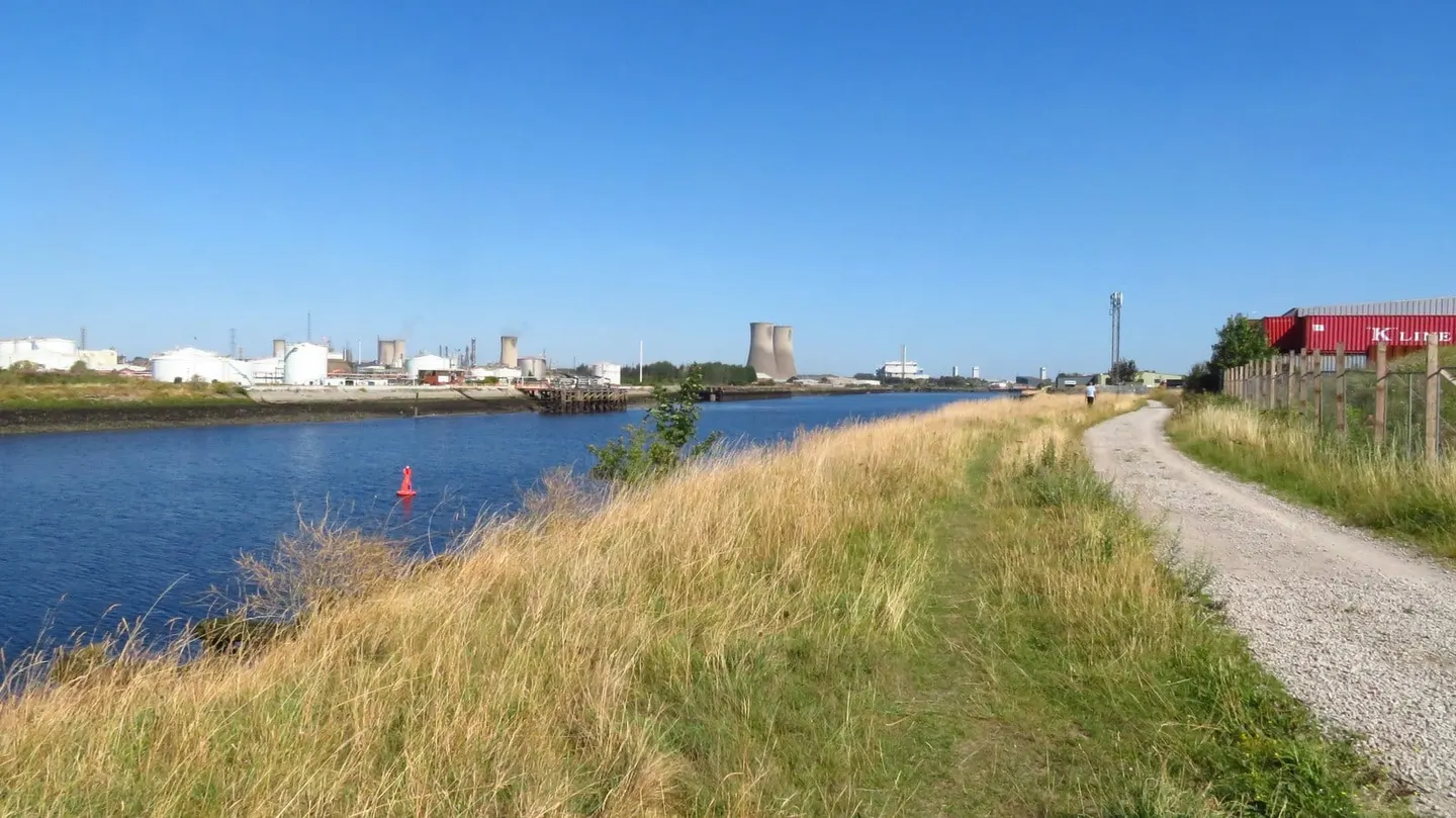
The Teesdale Way follows the River Tees for about 92 miles, from the Pennine moors near Dufton in Cumbria down through County Durham to the sea at South Gare on the North Yorkshire coast. It is a walk of great contrast, beginning in some of the emptiest upland in England and ending on the industrial banks of Teesside, with the river as the constant thread between.
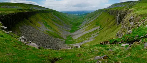
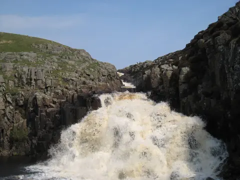
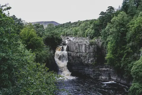
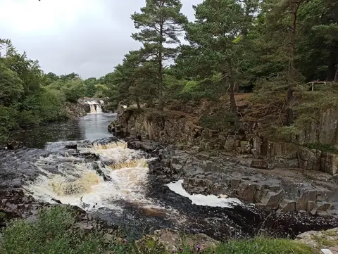
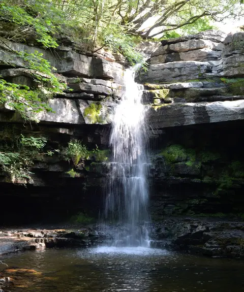
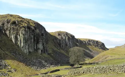
The waymarked trail proper begins at Middleton-in-Teesdale; the stretch above it, from Dufton, runs with the Pennine Way over High Cup Nick and past the falls of Cauldron Snout. Below Middleton comes the finest reach, through the North Pennines, where the Tees drops over Low Force and then High Force, the largest waterfall in England. Past Barnard Castle the country softens to farmland, and the river widens through Darlington, Stockton and Yarm before the final industrial miles to the mouth.
The upper sections are exposed and remote, with real ascent and open moor where the weather counts; the lower valley and estuary walking is flat and easy underfoot. Most walkers take five or six days for the whole route.
The path simply traces one river from near its source to the sea, linked together from riverside rights of way. The lower Tees towns are well connected by rail, and the coast at Middlesbrough and Redcar sits close to the finish, so the flatter half is easy to walk in day sections by train.