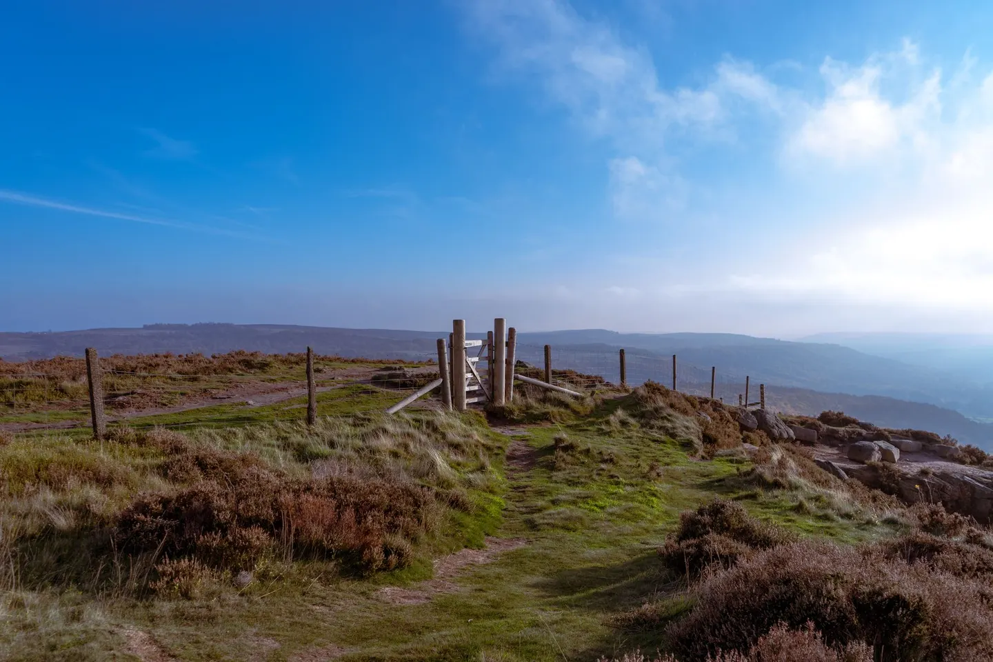
North York MoorsPhoto ANA TINCA / Pexels
Places to explore near Middlesbrough
Middlesbrough grew from a handful of farms into an ironmaking boom town in a single Victorian generation, its steel shipped worldwide from the Tees. The moors begin on its doorstep. Roseberry Topping, the half-collapsed cone the locals call their Matterhorn, stands above the town, and the heather uplands of the North York Moors roll south from there. The Cleveland Way traces the escarpment past Guisborough Forest before turning for the cliffs and pier of Saltburn.
83 places within 25 km — the standouts first, nearest first within each group. 2 are national icons.
Worth the tripnational icons and local highlights within reach
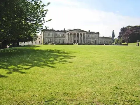

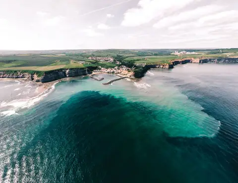
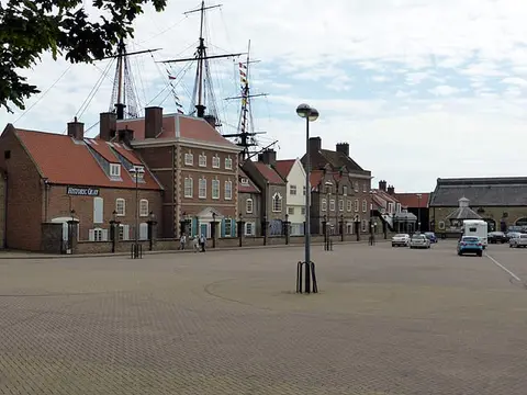
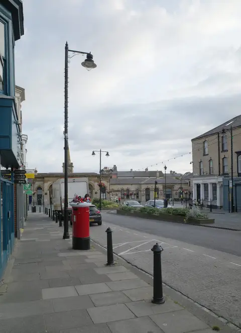
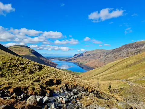
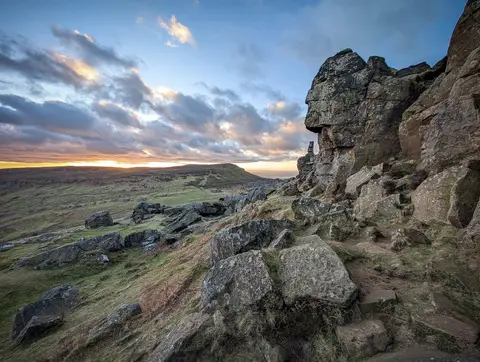
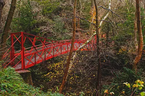
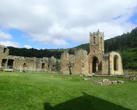
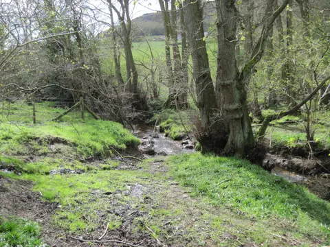
Also nearbygood places nearby, nearest first

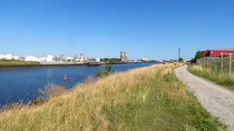
Everything else within 25 km (63) — reserves, earthworks & places to check before travelling
- Summerhill Country ParkCountry park10.8 km N
- Roseberry CommonCountry estate11.3 km SE
- Gisborough PrioryPriory12.7 km E
- Gisborough MoorMarilyn15.7 km SE
- Durham Coast SSSISSSI16 km N
- Durham CoastNational Nature Reserve16.4 km N
- Saltburn Valley Country ParkCountry park16.5 km E
- Hardwick Hall - Durham Country ParkCountry park16.6 km NW
- Hardwick ParkGarden17.5 km NW
- Warsett HillCountry estate19.7 km E
- Teesmouth and Cleveland CoastSSSI0.8 km NE
- TeesmouthNational Nature Reserve5.2 km NE
- Eston Nab hillfortHillfort7.4 km E
- Boy HillCounty topaccess unclear9.4 km S
- Seaton Carew North GareSwimming spot9.6 km NE
- Round Hill castle mound and baileyEarthworks of a former castleaccess unclear9.6 km SW
- Quarry HillCounty topaccess unclear9.7 km SE
- Langbaurgh RidgeSSSIaccess unclear9.7 km SE
- Briarcroft PastureSSSIaccess unclear10 km W
- Lovell Hill PoolsSSSIaccess unclear10 km E
- Seaton Carew CentreSwimming spot10.2 km N
- Castle Hill (County Durham)Castleaccess unclear10.4 km S
- Seaton Carew NorthSwimming spot10.6 km N
- Whitton Bridge PastureSSSIaccess unclear11 km W
- Redcar CoathamSwimming spot11.2 km NE
- Cliff RidgeSSSI11.4 km SE
- Thorpe LarchesCounty topaccess unclear11.9 km NW
- Redcar Lifeboat StationSwimming spot12.3 km NE
- Redcar GranvilleSwimming spot12.7 km E
- Bishopton CastleEarthworks of a former castleaccess unclear12.9 km W
- Redcar StraySwimming spot13.4 km E
- Marske SandsSwimming spot14.3 km E
- Whelly HillCounty topaccess unclear14.7 km N
- Easby castleCastleaccess unclear15 km SE
- Kildale HallSSSIaccess unclear15.3 km SE
- Pike Whin BogSSSIaccess unclear15.5 km NW
- Hart BogSSSIaccess unclear15.8 km N
- DurhamHeritage Coast16.2 km N
- Whitby Wellbeing, SaltburnSauna16.7 km E
- Tower Hill motte (County Durham)Earthworks of a former castleaccess unclear16.8 km SW
- North Yorkshire & ClevelandHeritage Coast17 km E
- Newton Ketton MeadowSSSIaccess unclear17.1 km W
- CrimdonSwimming spot17.2 km N
- SaltburnSwimming spot17.2 km E
- The Ship Inn (Saltburn-by-the-Sea)Pub17.2 km E
- Saltburn GillSSSIaccess unclear17.4 km E
- Cringle Moor - Drake HoweMarilyn17.7 km S
- Whorlton CastleEarthworks of a former castleaccess unclear17.7 km S
- Broughton BankSSSI17.8 km SE
- Hulam FenSSSIaccess unclear18.2 km N
- Baysdale AbbeyAbbeyaccess unclear18.3 km SE
- Fishburn GrasslandSSSIaccess unclear18.3 km NW
- Neasham FenSSSIaccess unclear18.4 km SW
- Railway Stell WestSSSIaccess unclear18.6 km W
- Charity LandSSSIaccess unclear18.7 km NW
- Baysdale CrossAbbey18.8 km SE
- Live Moor promontory fortPromontory fort18.9 km S
- Middleham Castle (County Durham)Castleaccess unclear20 km NW
- Redcar FieldSSSIaccess unclear20.2 km W
- Trimdon Limestone QuarrySSSIaccess unclear20.2 km NW
- Bishop Middleham QuarrySSSIaccess unclear20.3 km NW
- Botton HeadSSSI20.5 km SE
- Raisby Hill QuarrySSSIaccess unclear20.5 km NW
Ordered by how far each place is worth travelling for, then by distance. Distances are straight-line to the nearest edge of each place — paths wind, of course.