Heather moor rolling to sea cliffs, purple every August and left largely alone the rest of the year
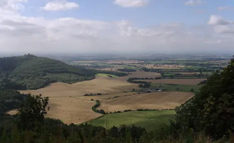
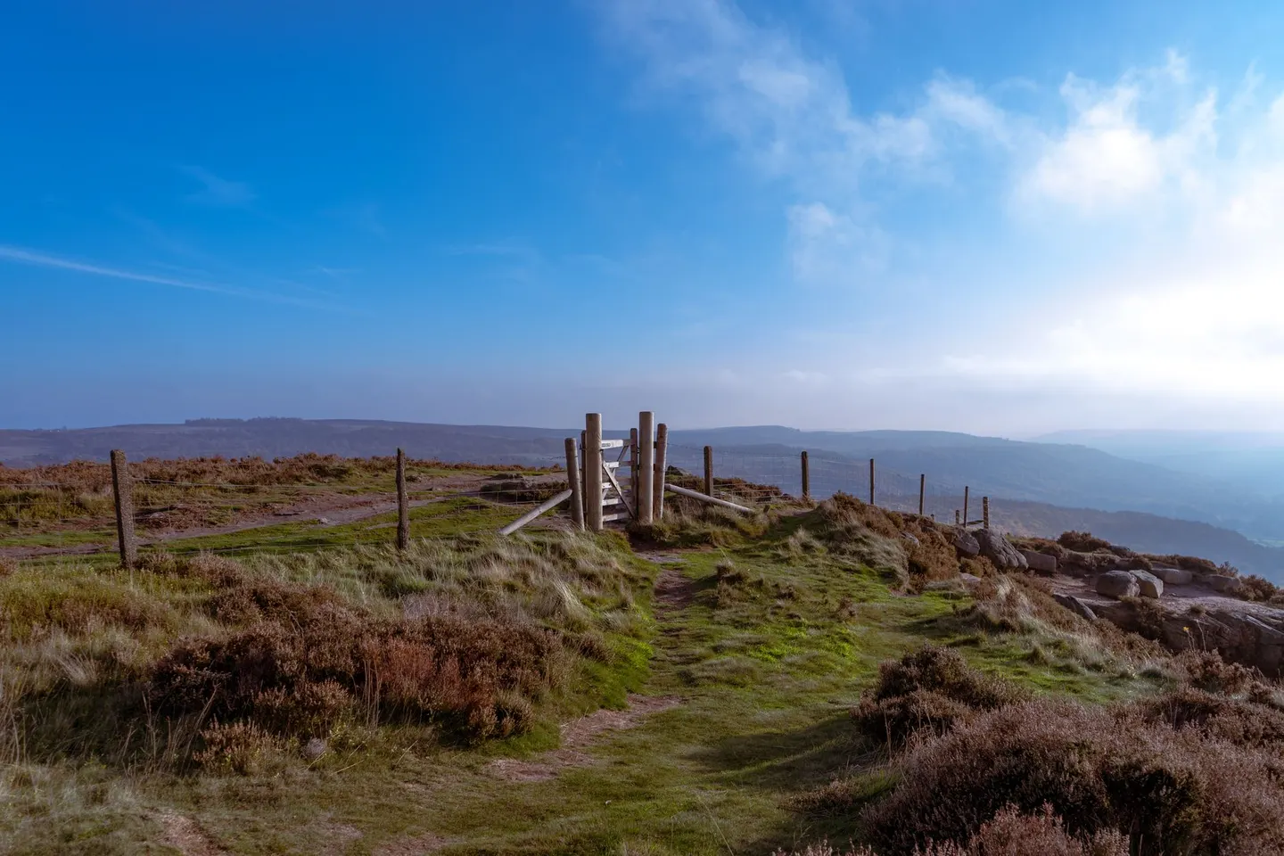
England’s largest single stretch of heather moorland is here, and it means what it says: rolling brown-purple upland for mile after mile, cut through by steep-sided dales that come as a relief when legs need a rest from flat walking. August turns the whole moor pink-purple almost overnight, worth timing a visit around if that happens to be the point of going.
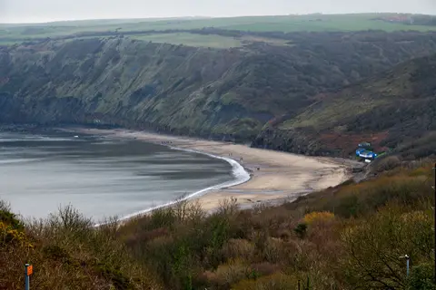
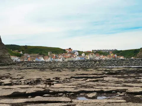
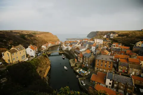
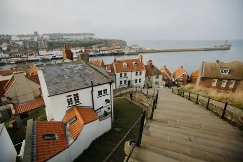
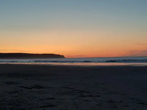
The high ground runs along Urra Moor - Round Hill, reckoned to be the park’s highest point, and continues east past Cringle Moor - Drake Howe and Gisborough Moor toward the coast. That coast is the other half of the story: from Robin Hood’s Bay up towards Staithes, cliffs drop straight into the North Sea and the villages are wedged into whatever gap there is. Ravenscar sits above it all, a resort that, by most local accounts, never quite got built.
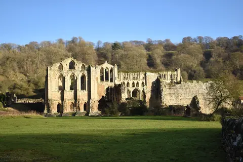
The Cleveland Way does the obvious thing and links moor to coast in one loop, over a hundred miles of it around the park’s edge. Inland, the dales are gentler going — Bransdale and Farndale Woodlands among the quieter ones, the latter known for wild daffodils that draw a crowd each spring. Rievaulx Terrace looks down on the abbey ruins from a grass terrace built purely for the view, the sort of thing the eighteenth century did rather well.
Weather on the open moor changes fast and there’s little shelter once away from the dales, so a map and something waterproof aren’t optional extras, even on a fair-looking day. Parking at the honeypot spots (Hutton-le-Hole, Goathland, the coastal villages) fills early on a good weekend; arriving before ten helps more than any amount of planning after the fact.