A slow Yorkshire river curving off the North York Moors round the Vale of Pickering to the Ouse
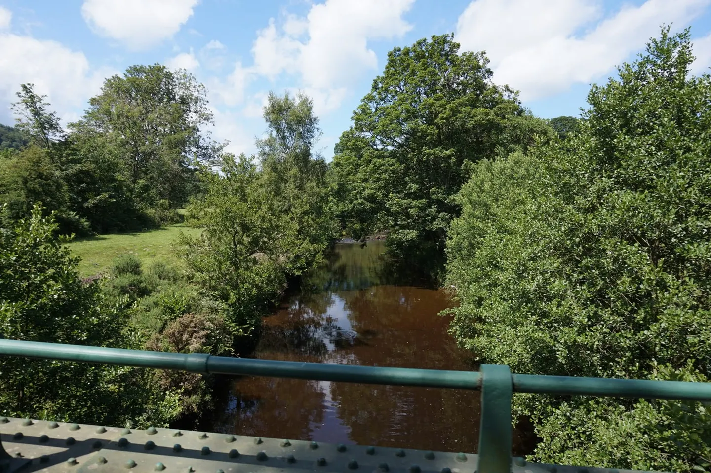
The Yorkshire Derwent starts on Fylingdales Moor only a few miles from the sea at Scarborough, then turns its back on it and runs inland for seventy-odd miles to join the Ouse at Barmby. It does that because of ice: a glacier blocked its original exit to the coast, and the river cut a new way out through Forge Valley instead. It is one of the odder river courses in England, and the long flat Vale of Pickering it crosses is the bed of the lake that formed behind that ice.
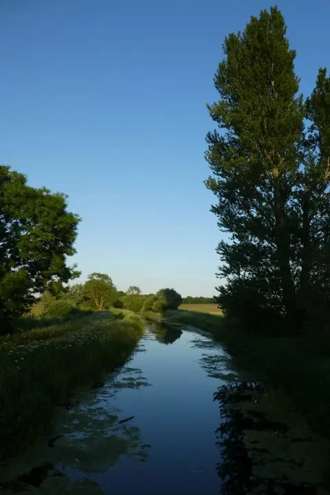
The result is a slow, silty, weedy lowland river that floods its washlands every winter, which makes it very good for wildfowl and for water plants. Forge Valley Woods near Scarborough is the gorge it cut, with a boardwalk along the river through ash and elm woodland.
Kirkham Priory stands on the bank in the prettiest stretch, with a riverside walk from the car park. Malton is the nearest station to the middle river, and the Battle of Stamford Bridge was fought at a crossing downstream.