Yorkshire's main navigation, running tidal from Trent Falls up through York towards the Dales rivers that feed it
This is the Yorkshire Ouse — the river that gathers the drainage of the eastern Dales and carries it down through York to the Humber — not the Great Ouse of East Anglia or the smaller Sussex Ouse, both of which share the name.
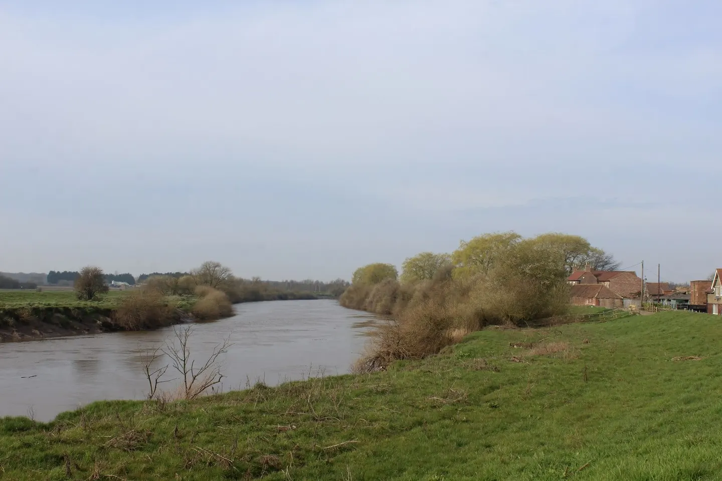
The Ouse proper begins where the River Ure is joined by the Swale near Linton-on-Ouse, north of York, and runs about 60 miles from there to Trent Falls, where it meets the River Trent to form the Humber estuary. As a navigation it is broad and, for much of its length, tidal: the tide reaches up to Naburn Lock just below York, and below that boats have to work the flood. Above Naburn the river is non-tidal and quieter, threading up through Boroughbridge on the Ure.
It is a commercial river as much as a leisure one. Seagoing coasters still reach the inland port of Goole, and the lower Ouse carries barge traffic, so the water can be busy and the tides strong; it is not a beginner’s cruising river below York. There are only a handful of locks, at Naburn and on the upper reaches, because so much of the route is open tideway.
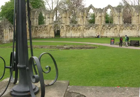
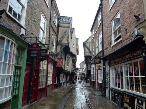
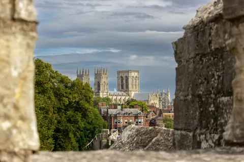
For most visitors the river is met at York, where it runs through the middle of the city beneath the old bridges and past the Museum Gardens. Upstream the country turns to flat farmland and washlands that flood in winter; downstream it widens into the industrial reaches around Selby and Goole. The Ouse links the whole Yorkshire waterway network to the sea, connecting the Aire, the Derwent and the Trent by way of the Humber.