Yorkshire's great commercial waterway, running thirty-four miles from Leeds to the inland port of Goole
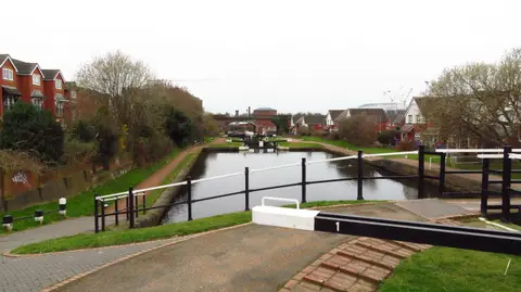
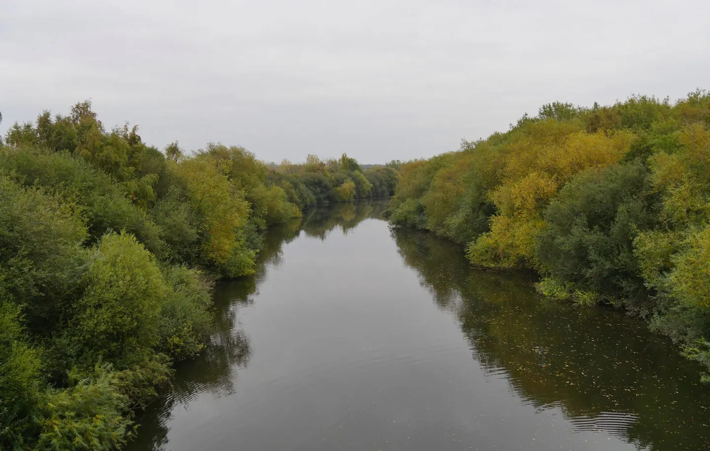
The Aire & Calder Navigation is a broad, working waterway across West Yorkshire, made by improving the rivers Aire and Calder into a deep, wide channel for barges. Its main line runs about 34 miles from Leeds east to Goole, the inland port on the tidal Yorkshire Ouse; a branch climbs the Calder to Wakefield. Eleven large locks carry it, and its locks and channels are built to a far bigger gauge than the narrow canals of the Midlands, taking barges up to 200 feet long.
Unlike most of the network it never fell out of trade. The Aire was first made navigable to Leeds in 1704, and the cut down to Goole with its docks was completed in 1826, turning what had been open marsh into a purpose-built port. For over a century the navigation ran on coal, and its great innovation was the “Tom Pudding” — trains of iron compartment boats pushed by a tug and tipped bodily into ships at Goole. They carried coal from the South Yorkshire pits until the 1980s, and the hoists at Goole are part of the story the waterway still tells.
The Aire & Calder remains one of the busiest freight waterways in the country, so this is a route with the scale and traffic of a river rather than the intimacy of a canal. The towpath along it is level and easy, if industrial in character through Leeds, Castleford and Knottingley, opening into flatter, quieter country toward Goole.
Leeds, Wakefield, Castleford and Knottingley all have stations near the water, which makes a one-way towpath walk simple to plan.