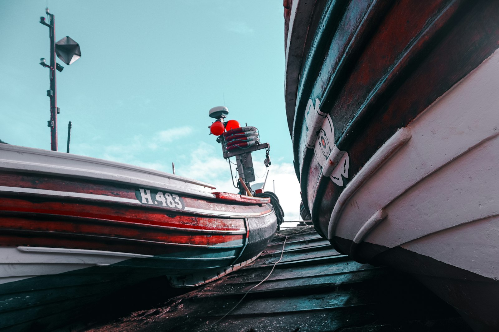
Photo Different Resonance / Unsplash
Places to explore in East Riding of YorkshireEngland · Yorkshire and the Humber
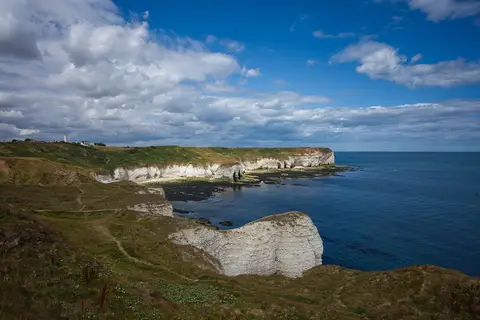
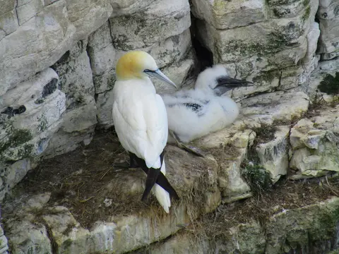
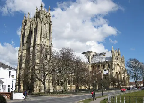
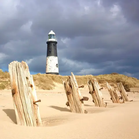
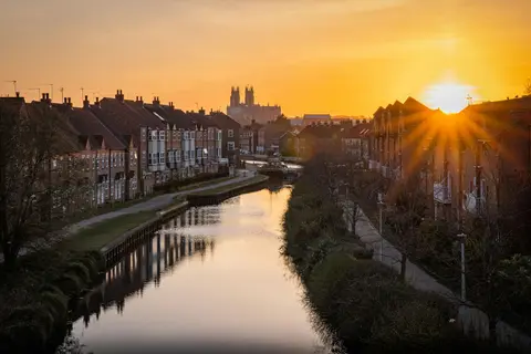
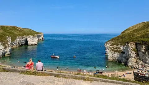
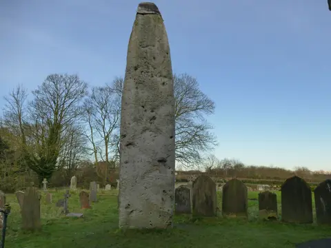
Chalk and clay divide the East Riding. The rolling Yorkshire Wolds, walked end to end by the Yorkshire Wolds Way, fall east to the low clay plain of Holderness and a coast that erodes faster than any other in Europe, tapering to the shifting sand spit of Spurn. Where the chalk meets the sea it stands in white cliffs at Flamborough Head, with vast seabird colonies just north at Bempton Cliffs. Inland lie the minster town of Beverley and Britain's tallest standing stone, the Rudston Monolith.
The best of East Riding of Yorkshireworth the trip
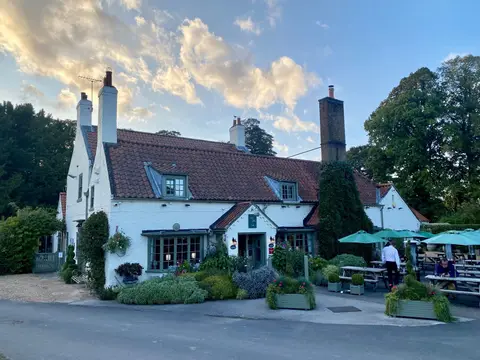
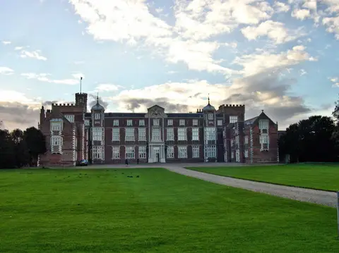
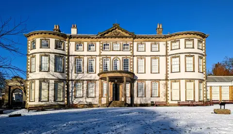
Houses & gardens in East Riding of Yorkshire 8
Other sights in East Riding of Yorkshire 3
Nature reserves in East Riding of Yorkshire 49
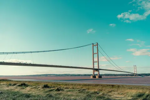
- Humber Bridge Country Park0.34 km²
- Burton Constable Country Park0.75 km²
- Humber Estuary370 km²
- Humberhead Peatlands30 km²
- Melbourne and Thornton Ings2 km²
- Millington Wood and Pastures3.4 km²
- South Cliffe Common0.61 km²
- Thixen Dale and Long Dale0.93 km²
- Thorne, Crowle and Goole Moors19 km²
- Lower Derwent Valley6.1 km²
- Allerthorpe Common0.13 km²
- Bishop Wilton Deep Dale0.43 km²
- Breighton Meadows0.38 km²
- Burton Bushes0.12 km²
- Cinquefoil Brow and Wood Dale0.12 km²
Show all 49 nature reserves in East Riding of Yorkshire
- Cottam Well Dale0.24 km²
- Fordon Chalk Grasslands0.55 km²
- Hornsea Mere2.3 km²
- Horse Dale and Holm Dale0.44 km²
- Keasey Dale0.04 km²
- Melton Bottom Chalk Pit0.87 km²
- Newbald Becksies0.02 km²
- Newton Mask0.18 km²
- The Lagoons0.7 km²
- Wyedale0.13 km²
- Barn Hill Meadows0.09 km²
- Beckhead Plantation0.04 km²
- Bishop Wilton Poor Land0.02 km²
- Boynton Willow Garth0.05 km²
- Brantingham Dale0.16 km²
- Bryan Mills Field0.01 km²
- Dimlington Cliff0.34 km²
- Drewton Lane Pits0.05 km²
- Enthorpe Railway Cutting0.03 km²
- Everthorpe Quarry0.04 km²
- Flamborough Railway Cutting0.02 km²
- Hoddy Cows Spring0.02 km²
- Hotham Meadow0.02 km²
- Kelsey Hill Gravel Pits0.11 km²
- Kiplingcotes Chalk Pit0.04 km²
- Lambwath Meadows0.3 km²
- Leven Canal0.21 km²
- Pulfin Bog0.17 km²
- Rifle Butts Quarry0 km²
- Roos Bog0.02 km²
- Skipsea Bail Mere0.44 km²
- Tophill Low0.35 km²
- White Carr Meadow0.01 km²
- Withow Gap, Skipsea0.09 km²
Villages & towns in East Riding of Yorkshire 13
Beaches & swimming in East Riding of Yorkshire 10
Churches in East Riding of Yorkshire 8
Pubs & restaurants in East Riding of Yorkshire 7
Ancient stones in East Riding of Yorkshire 2
- The Rudston Monolithstanding
- East Field crop mark site centredearthworks
Coastline in East Riding of Yorkshire 2
- Spurn18 km²
- Flamborough Headland35 km²
Castles & strongholds in East Riding of Yorkshire 12
- Flamborough Castleruin
- Wressle Castleruin
- Baynard Castleruin
- Burstwick Castleruin
- Hull Castleruin
- Roos Castleruin
- Swine Castleruin
- Skipsea Castleearthworks
- Giant's Hill motteearthworks
- Hall Garth motteearthworks
- Moot Hill motteearthworks
- Swan Hill motteearthworks
Abbeys & priories in East Riding of Yorkshire 9
- Haltemprice Augustinian prioryruin
- Nunnery Hillruin
- Ellerton Priory (East Riding)below ground
- Holy Trinity Preceptory, Beverleybelow ground
- Meaux Cistercian Abbeybelow ground
- Nunburnholme Priorybelow ground
- Swine Cistercian nunnerybelow ground
- Warter Augustinian Priorybelow ground
- Watton Gilbertine priorybelow ground
Waterways in East Riding of Yorkshire 4
Farms, vineyards & producers in East Riding of Yorkshire 2
Hills & peaks in East Riding of Yorkshire 2
- Bishop Wilton Wold248 m
- South Field12 m
Lighthouses in East Riding of Yorkshire 2
Trails in East Riding of Yorkshire 2
Battlefields in East Riding of Yorkshire 1
Roman sites in East Riding of Yorkshire 1
- Rudston Roman villaearthworks