A quiet, rolling National Trail that makes a genuinely gentle first go at long-distance walking
Indicative — sampled from open terrain data along the simplified route.
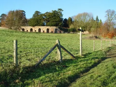
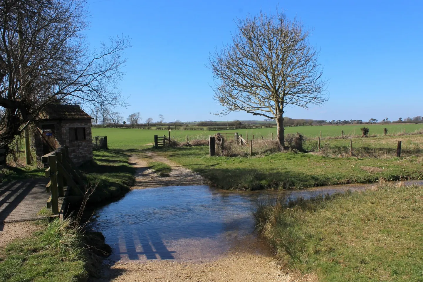
If the idea of a multi-day trail feels daunting, this is a kind one to start with. The Yorkshire Wolds Way runs 79 miles from the Humber foreshore at Hessle up to Filey Brigg on the coast, and rather than mountains or moor it crosses chalk downland: rolling, dry valleys and big open skies, the same landscape David Hockney has spent years painting. The climbs are gentle rather than punishing, and there’s rarely any doubt about which way is up.
It’s also one of the quietest of the National Trails, so there’s a good chance of having long stretches of path more or less to yourself, which suits anyone who’d rather ease into walking than feel swept along by crowds. Villages tucked into the dry valleys along the way — Thixendale and Fridaythorpe among them — break the route into manageable, human-sized stages, so it works well tackled a weekend at a time rather than in one continuous push.
The whole trail sits well within reach for a first attempt at proper distance walking: no scrambling, no exposed ridges, just steady chalk tracks and field paths. That said, the ground can turn heavy and claggy after rain, since chalk country doesn’t drain instantly, so boots with a bit of grip are worth having even though nothing here counts as technical.
Filey Brigg makes a satisfying finish, with the sea appearing properly for the first time after miles of inland farmland. Check bus or rail options at both ends before setting off, since this is a linear route rather than a loop, and a look at the weather beforehand covers most of what needs planning for a trail this friendly.