A hundred-odd miles of moor and cliff, curling from an inland market town out to the sea and back along it
Indicative — sampled from open terrain data along the simplified route.
It starts at the market cross in Helmsley, a market town that gives no hint of what’s coming, and finishes 109 miles later on Filey Brigg, a spit of rock walked out at low tide by people who’ve just done all that walking and apparently aren’t done yet. In between it does something not many National Trails manage: a proper horseshoe, tracing the edge of the North York Moors inland first, then swinging onto the coast for the second half.
The inland stretch climbs onto heather moorland and stays high for long sections, good walking, if exposed, with wide views west into the Vale of York on a clear day. Pike Hill and the prehistoric remains around Simon Howe turn up along the way, reminders that people were crossing this ground a very long time before it had a waymarked name. The path crosses Glaisdale Rigg, one of the higher, bleaker sections.
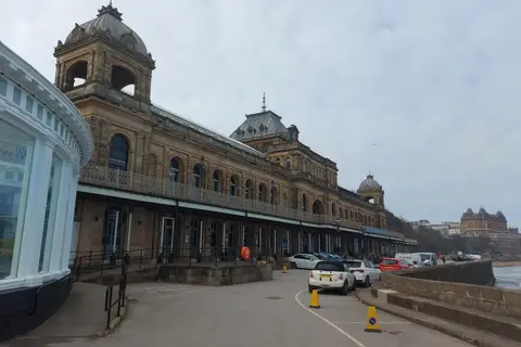
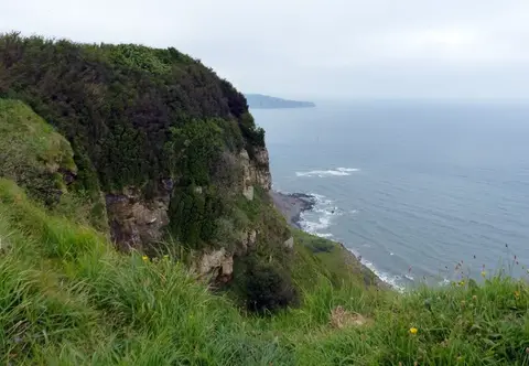
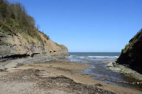
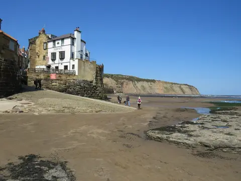
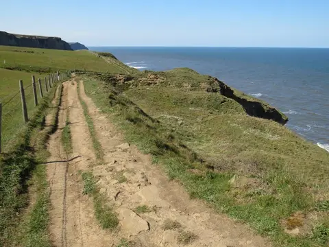
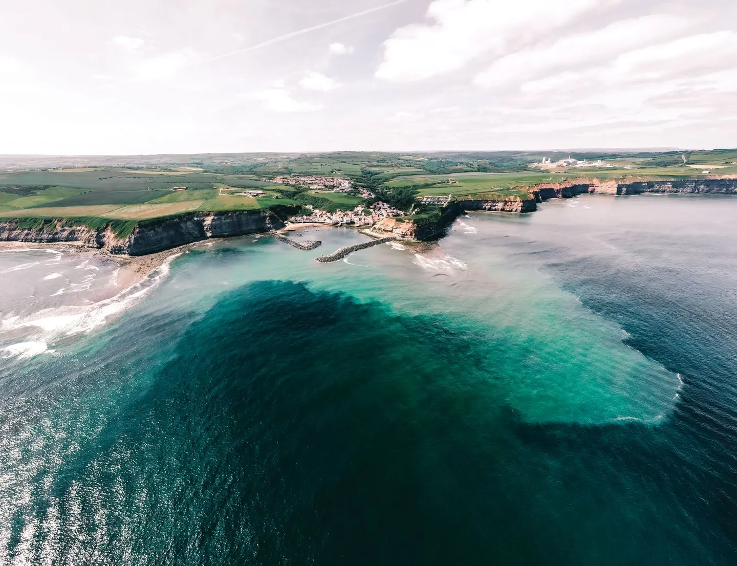
The coastal half is the one most people remember. Cliffs run high and often sheer for long stretches, with fishing villages wedged into the few gaps the geology allows, and the path keeps close to the edge for most of it, worth respecting in wind, since some sections have no fence and a long drop. Beck Hole sits in one of the wooded valleys that break up the cliff walking, a quiet contrast to the open moor above.
Most people split it over a week to ten days rather than attempt it in one push, and accommodation along the coastal half books up well ahead of summer weekends. The moor sections have little shelter and less phone signal, so the usual advice holds: check the forecast, carry waterproofs that can handle open moor with no shelter for miles, and don’t rely on finding anywhere to shelter partway along.