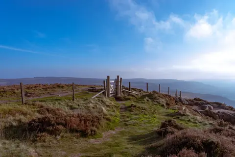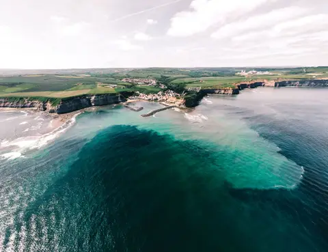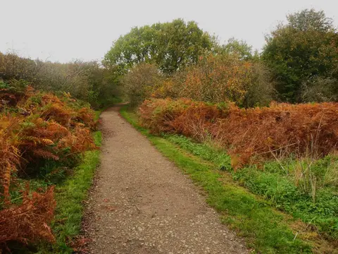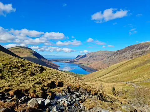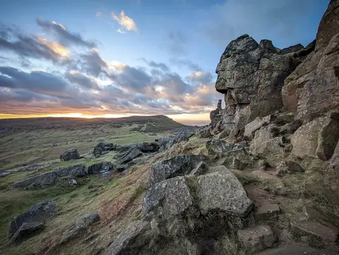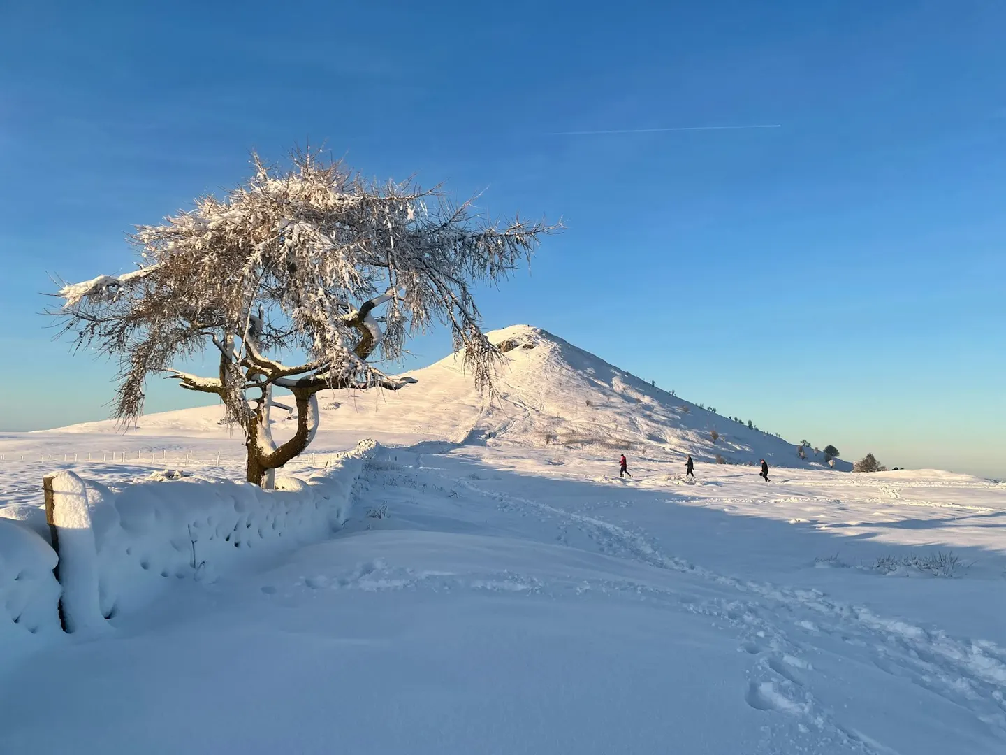
The little half-cone hill on the edge of the North York Moors, its bare western face left by a landslip a century ago
Open accesson open access land, where the right to roam applies
Roseberry Topping is a small, sharp hill on the north-western edge of the North York Moors, and its lopsided shape — a steep bare crag on one side, a gentle slope on the other — gives it one of the most recognisable outlines in the north of England. People often liken it to a miniature Matterhorn. That distinctive face is fairly recent: a landslip in 1912, helped along by old ironstone and jet workings underneath, brought down part of the summit and left the crag you see now.
At about 320 metres it is not a big hill, but it stands on its own above the plain, so the climb feels harder than the height suggests and the view from the top runs right across Teesside to the sea. James Cook, the explorer, grew up in Great Ayton just to the south, and the hill would have been the backdrop to his childhood.
The Cleveland Way national trail passes right by, and most walkers come up the stepped path from Newton-under-Roseberry at the foot, where there is a car park off the main road. It is a short but steep pull to the summit. If you want to link it into a longer day, Roseberry Common and the moors beyond continue eastward, and the ruins of Gisborough Priory are a few miles to the north-east.