
Nature reserves in North YorkshireNorth Yorkshire, England
243 nature reserves in the Albion Guide across North Yorkshire — see the full nature reserves directory, or everything to explore in North Yorkshire.
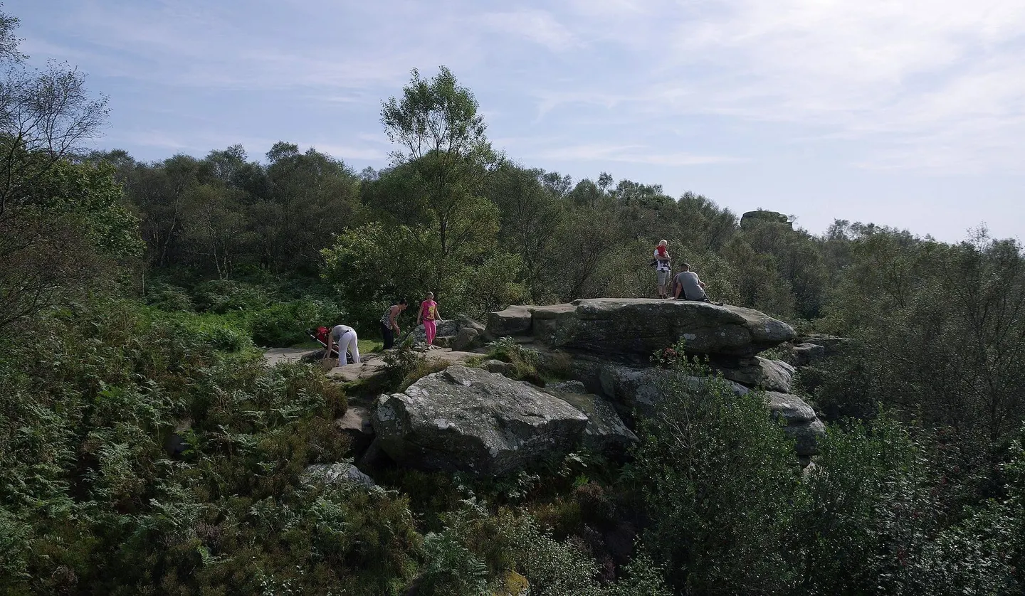
- Brimham Rocks1.6 km²
- Roseberry Topping0.11 km²
- Aysgarth Falls0.18 km²
- Hole of Horcum1.5 km²
- Winskill Stones
- Farndale1.6 km²
- Filey Brigg0.25 km²
- Langcliffe Scars and Victoria Cave7 km²
- Malham Tarn Estate
- Flatts Lane Woodland Country Park0.41 km²
- Saltburn Valley Country Park0.23 km²
- Gouthwaite Reservoir1.5 km²
- Hell Gill0.01 km²
- Guisborough Forest Country Park0.06 km²
- Lower Swaledale Woods And Grasslands2.7 km²
- Upper Wharfedale11 km²
- Farndale Woodlands
- Hayburn Wyke0.21 km²
- Arkengarthdale and Reeth Moors76 km²
- Bowes Moor45 km²
- East Nidderdale Moors108 km²
- Lovely Seat - Stainton Moor101 km²
- Malham-Arncliffe50 km²
- Mallerstang-Swaledale Head62 km²
- South Pennine Moors209 km²
- Teesmouth and Cleveland Coast30 km²
- West Nidderdale and Blubberhouses Moors134 km²
- Austwick and Lawkland Mosses0.84 km²
- Beck Hole0.7 km²
- Biller Howe Dale0.86 km²
- Birks Fell Caves0.86 km²
- Birkwith Caves and Fell1.8 km²
- Black Keld Catchment7 km²
- Boreham Cave1.5 km²
- Brants Gill Catchment5 km²
- Bride Stones1.2 km²
- Castle Hill Deer Park and Windy Pits1.4 km²
- Castlebeck and Scar Woods0.59 km²
- Caydale1.6 km²
- Cliff Force Cave0.98 km²
- Conistone Old Pasture3 km²
- Cracoe Reef Knolls1.4 km²
- Dow Cave System0.82 km²
- Grass Wood0.79 km²
- Haugh and Gundale Slacks0.6 km²
- Low Gill Moor Wetlands0.64 km²
- Newby Moor2.8 km²
- Newtondale9.4 km²
- Oughtershaw and Beckermonds0.77 km²
- Ox Close1.4 km²
- Oxenber and Wharfe Woods0.89 km²
- Pen y ghent Gill2.2 km²
- Rawcliffe Country Park0.12 km²
- Strensall Common5.7 km²
- Swinden Quarry1.1 km²
- Thixen Dale and Long Dale0.93 km²
- Thornton and Twisleton Glens0.6 km²
- Upper Nidderdale1.4 km²
- Forge Valley Woods0.67 km²
- Lower Derwent Valley6.1 km²
- Skipwith Common2.7 km²
- Arkle Beck Meadows, Whaw0.08 km²
- Ashberry and Reins Wood0.99 km²
- Ashes Pasture and Meadows0.14 km²
- Aubert Ings0.11 km²
- Bastow Wood0.53 km²
- Botton Head0.04 km²
- Breighton Meadows0.38 km²
- Brockadale0.59 km²
- Broughton Bank0.05 km²
- Cawthorn Moor0.39 km²
- Cliff Beck Meadow, Buttertubs0.01 km²
- Cliff Ridge0.03 km²
- Clifton Ings And Rawcliffe Meadows0.56 km²
- Cocket Moss0.2 km²
- Cockrah Wood0.12 km²
- Deepdale Meadows, Langstrothdale0.13 km²
- East Heslerton Brow0.4 km²
- Ellerburn Bank0.03 km²
- Ellers Wood and Sand Dale0.09 km²
- Fairburn and Newton Ings1.7 km²
- Fairy Call Beck0.02 km²
- Fordon Chalk Grasslands0.55 km²
- Fothering Holme0.1 km²
- Freeholders Wood0.14 km²
- Giggleswick Scar and Kinsey Cave0.43 km²
- Gingerfields0.07 km²
- Gormire0.55 km²
- Greenhow Pasture0.07 km²
- Greenhow Quarry0.03 km²
- Harker's House Meadows0.14 km²
- Harwood Dale Moor0 km²
- Hawkswick Wood0.12 km²
- Hesley Moss0.11 km²
- Heslington Tillmire0.46 km²
- Hill House Nab0.04 km²
- Iron Scar to Scalby Ness1.2 km²
- Keasden Moor0.11 km²
- Kettlewell Meadows0.13 km²
- Kisdon Force Woods0.38 km²
- Littlebeck Wood0.17 km²
- Lords Wood and Pasture0.06 km²
- Malham-Arncliffe ( Cool Pasture )0.06 km²
- Marsett Rigg0.09 km²
- Muker Meadows0.14 km²
- Nabgate0.07 km²
- Nine Spring Dale0.05 km²
- Pikedaw Calamine Caverns0.27 km²
- Ripon Parks1.4 km²
- River Ribble (Long Preston Deeps)1.6 km²
- River Ure Grasslands0.15 km²
- River Wharfe0.25 km²
- Salt Lake Quarry0.04 km²
- Seive Dale Fen0.1 km²
- Shaw Beck Gill0.3 km²
- Staithes - Port Mulgrave0.63 km²
- Stonepit and Nova Slacks0.13 km²
- Stump Cross Caves0.56 km²
- Swarth Moor0.35 km²
- Swineley Meadow, Widdale0.09 km²
- Thwaite Stones0.18 km²
- Tripsdale0.52 km²
- Troutsdale and Rosekirk Dale Fens0.13 km²
- Vessey Pasture Dale and Back Dale0.27 km²
- Wanlass Grasslands0.69 km²
- Waterdale0.38 km²
- Whitfield Gill and Mill Gill0.19 km²
- Ling Gill0.05 km²
- New House Farm, Malham0.26 km²
- Scoska Wood0.11 km²
- Acaster South Ings0.4 km²
- Angram Bottoms0.1 km²
- Arnecliff and Park Hole Woods0.52 km²
- Askham Bog0.45 km²
- Askrigg Bottoms0.03 km²
- Beck Dale Meadow0.02 km²
- Bellerby Fields0.03 km²
- Betton Farm Quarries0.02 km²
- Birkham Wood0.3 km²
- Bishop Monkton Ings0.38 km²
- Black Scar Quarry0.01 km²
- Blaiskey Bank Springs0.01 km²
- Bolton Percy Ings0.07 km²
- Boulby Quarries0.42 km²
- Bull Ings0.03 km²
- Burr Closes, Selby0.01 km²
- Burton Leonard Lime Quarry0.03 km²
- Chris's Pasture0.04 km²
- Church Ings0.07 km²
- Clints Quarry (North Yorkshire)0.01 km²
- Cockerham Meadows, Thorpe0.03 km²
- Cow Cliff Pasture and Quarry0.01 km²
- Cow Myers0.15 km²
- Cropton Banks and Howlgate Head Woods0.42 km²
- Dalby Bush Fen0.07 km²
- East Keswick Fitts0.13 km²
- Eskamhorn Meadows0.14 km²
- Far Mains and Far Limekiln Close Meadows0.02 km²
- Farnham Mires0.1 km²
- Feetham Holme0.03 km²
- Foredale0.02 km²
- Forlorn Hope Meadow0.02 km²
- Fulford Ings0.13 km²
- Golden Hill Pit0.01 km²
- Gowerdale Windy Pits/Peak Scar0.05 km²
- Grassington Hospital Grounds0.05 km²
- Green Lane Pit0.01 km²
- Greenfield Meadow0.15 km²
- Gristhorpe Bay and Red Cliff0.55 km²
- Hack Fall Wood0.43 km²
- Hackness Head Quarry0.03 km²
- Hackness Rock Pit0 km²
- Hambleton Quarry0.13 km²
- Haw Crag Quarry0.09 km²
- Hay-a-Park0.45 km²
- Holy Well Bridge0.02 km²
- Horse Field, Gilling0.02 km²
- Jeffry Bog0.07 km²
- Kildale Hall0.07 km²
- Kilnsey Flush0.01 km²
- Kirk Deighton0.04 km²
- Kirkby Wharfe0.22 km²
- Kirkdale Cave0 km²
- Kirkham Park & Riverside0.43 km²
- Ladyhills0.04 km²
- Langbaurgh Ridge0.08 km²
- Len Pastures, Crackpot0.04 km²
- Leyburn Glebe0.03 km²
- Lovell Hill Pools0.1 km²
- Low Pasture0.1 km²
- Mar Field Fen0.09 km²
- Meadow Croft, Skythorns0 km²
- Meal Bank Quarry0.07 km²
- Mill Holme Meadow, Thwaite0.01 km²
- Mount Pleasant Quarry0.01 km²
- Naburn Marsh0.13 km²
- New Close, Calvert Houses0.06 km²
- Newbridge Quarry0.08 km²
- Newsome Bridge Quarry0.02 km²
- Newton-le-Willows Meadows0.04 km²
- Noddle End0.1 km²
- North Bay to South Toll House Cliff0.1 km²
- Nunnington Cutting and Quarries0.05 km²
- Pan Beck Fen0.03 km²
- Park Hall Meadows, Healaugh0.07 km²
- Pilmoor0.45 km²
- Pinkney and Gerrick Woods0.25 km²
- Pry and Bottom Meadows, Mid Mossdale0.07 km²
- Quarry Moor0.08 km²
- Richmond Meadows0.03 km²
- Rievaulx Woods0.17 km²
- Ruston Cottage Pasture0.17 km²
- Saltburn Gill0.2 km²
- Scar Closes, Kisdon Side0.04 km²
- School Share Section0.02 km²
- Seato Pastures0.1 km²
- Shaw's Gate Quarry0.01 km²
- Sherburn Willows0.05 km²
- Sked Dale0.04 km²
- Sleightholme Dale0.29 km²
- Snape Hill Quarry0.01 km²
- Snaper Farm Meadows0.13 km²
- Spell Howe Plantation0.04 km²
- Spiker's Hill Quarry0.09 km²
- Spring Wood, Hawnby0.43 km²
- Stephen Ings, Crackpot0.03 km²
- Stonehead Beck ('Gill Beck')0.01 km²
- Stran's Gill0.08 km²
- Stutton Ings0.05 km²
- Swale Lakes0.43 km²
- Tadcaster Mere0.09 km²
- The Ings, Amotherby0.18 km²
- Thowker Corner0.01 km²
- Three Dykes0.01 km²
- Tranmire0.11 km²
- Upper Dunsforth Carrs0.1 km²
- Walden Meadows0.12 km²
- Wath Quarry0 km²
- West End Meadow, Lunds0.04 km²
- Wharram Quarry0.07 km²
- Whitby-Saltwick0.4 km²
- Wintringham Marsh0.06 km²
- Yockenthwaite Meadows0.11 km²