
Photo Gary Butterfield / Unsplash
Places to explore near Leeds
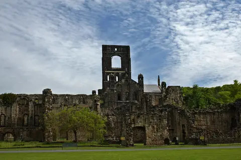
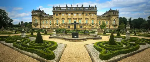
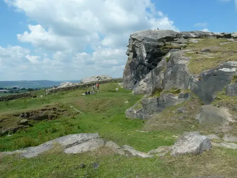
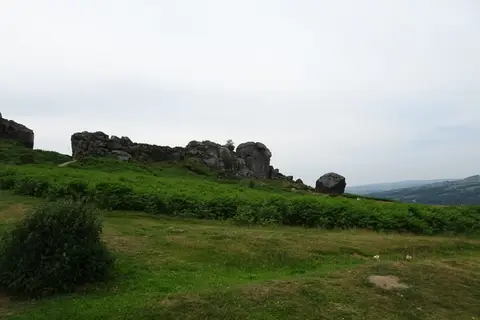
A Victorian wool and cloth city grown wealthy on the River Aire, Leeds keeps its grand shopping arcades and red-brick mills, with the Cistercian ruin of Kirkstall Abbey standing beside the water to the north-west. The moors begin quickly. Wharfedale runs up towards Ilkley, where Ilkley Moor lifts to the gritstone of the Cow and Calf Rocks, and Otley Chevin gives a wide view back over the vale. Harewood House sits in its Capability Brown park nearby, and the Yorkshire Dales lie within an hour's drive.
99 places within 25 km — the standouts first, nearest first within each group. 3 are national icons.
Worth the tripnational icons and local highlights within reach
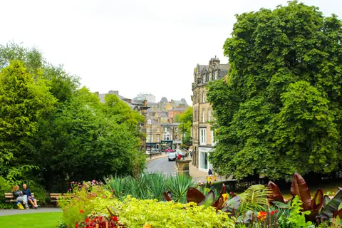
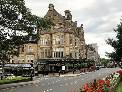
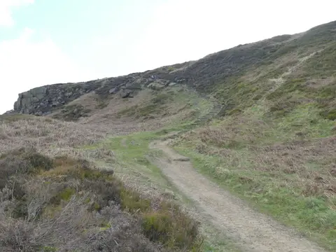
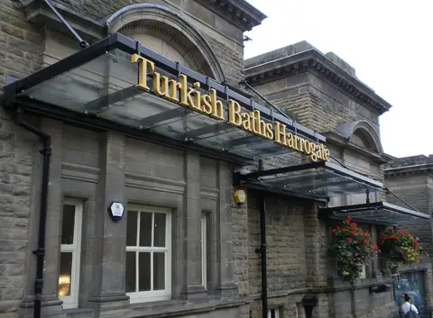
Also nearbygood places nearby, nearest first
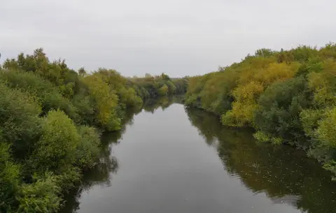
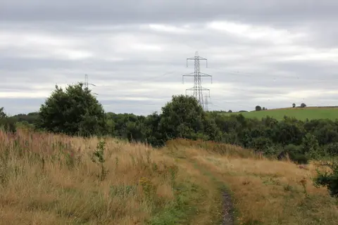
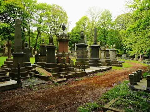
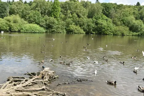
Everything else within 25 km (62) — reserves, earthworks & places to check before travelling
- Westgate Unitarian ChapelChurch13.4 km S
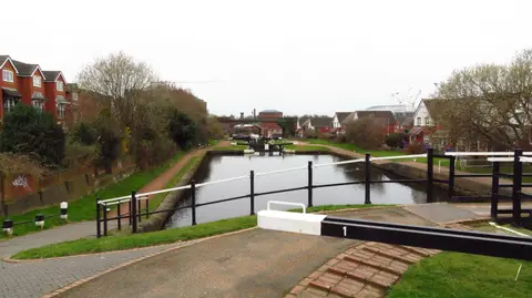
- Calder & Hebble NavigationRiver navigation13.5 km S
- Bramham ParkHouse & garden13.7 km NE
- Lotherton Hall Estate Country ParkCountry park14.8 km E
- OtleyVillage14.8 km NW
- Saltaire Brewery TaproomBrewery14.9 km W
- All Saints' Church, OtleyChurch15 km NW
- Pugneys Country ParkCountry park15.5 km S
- The Cricketers ArmsPub15.6 km S
- Walton Country ParkCountry park16.2 km S
- Dales High WayLong-distance path16.4 km W
- Saltaire United Reformed ChurchChurch16.5 km W
- The Roebuck InnPub16.9 km NW
- Calderdale WayLong-distance path17.1 km SW
- SpofforthVillage17.8 km N
- WetherbyVillage17.8 km NE
- Newmillerdam Country ParkCountry park18.3 km S
- Spofforth CastleCastle18.4 km N
- Steeton Hall GatewayLandmark18.7 km E
- Leeds - Liverpool CanalSSSIaccess unclear2.5 km W
- St John the Baptist's Church, AdelChurch6.2 km N
- Rothwell CastleCastleaccess unclear7.1 km SE
- Eccup ReservoirSSSIaccess unclear7.3 km N
- Adel Roman fortRoman archaeological siteaccess unclear7.6 km N
- Breary MarshSSSI8.2 km N
- Battle of Adwalton MoorBattlefield9.5 km SW
- Barwick-in-Elmet CastleHillfortaccess unclear10.7 km E
- Townclose HillsSSSI11.1 km E
- Hetchell WoodSSSIaccess unclear11.2 km NE
- Norwood BottomsSSSIaccess unclear11.3 km NE
- Mickletown IngsSSSIaccess unclear11.6 km SE
- Castle Hill motte (West Yorkshire)Castleaccess unclear11.7 km NE
- Roach Lime HillsSSSIaccess unclear12 km E
- Harewood CastleCastleaccess unclear12.1 km N
- Manor Garth Hill ringworkEarthworks of a former castleaccess unclear12.3 km E
- Yeadon Brickworks & Railway CuttingSSSIaccess unclear12.4 km NW
- Rougemont Castle (North Yorkshire)Castleaccess unclear12.5 km N
- East Keswick FittsSSSIaccess unclear12.9 km NE
- Newland PreceptoryPreceptoryaccess unclear13.2 km SE
- Wakefield CathedralChurch13.4 km S
- Hook MoorSSSI13.6 km E
- Great Dib WoodSSSI14.3 km NW
- Lowe Hill motteEarthworks of a former castleaccess unclear14.4 km S
- Micklefield QuarrySSSIaccess unclear14.7 km E
- Fairburn and Newton IngsSSSIaccess unclear14.8 km SE
- Ledston Hall and ParkHouse & gardenaccess unclear15 km E
- Dalton Parlours Roman villaRoman archaeological siteaccess unclear15 km NE
- Linton CommonSSSIaccess unclear15.3 km NE
- Bradford Pennine GatewayNational Nature Reserve15.4 km NW
- Castle Hills settlementCastleaccess unclear15.4 km E
- Fairburn Ings (Newton Abbey) moatAbbeyaccess unclear15.8 km SE
- Castle Hall Hill motteCastleaccess unclear15.9 km SW
- Madbanks and Ledsham BanksSSSIaccess unclear16 km E
- Sandal CastleEarthworks of a former castleaccess unclear16.2 km S
- Kirklees PrioryPrioryaccess unclear17 km SW
- Trench MeadowsSSSI17.1 km W
- South Pennine MoorsSSSI17.5 km NW
- Wharfe at Wilderness CarparkSwimming spot17.7 km NE
- Saxton CastleEarthworks of a former castleaccess unclear18.1 km E
- Denby Grange Colliery PondsSSSIaccess unclear18.3 km S
- Sherburn WillowsSSSIaccess unclear18.6 km E
- Battle of TowtonBattlefield18.7 km E
Ordered by how far each place is worth travelling for, then by distance. Distances are straight-line to the nearest edge of each place — paths wind, of course.