Bronte Way
Forty-three miles through Brontë country, Oakwell Hall in West Yorkshire to Gawthorpe Hall in Lancashire
Indicative — sampled from open terrain data along the simplified route.
The Brontë Way is a 43-mile route linking the places tied to the Brontë family and their novels. It runs from Oakwell Hall near Birstall, in West Yorkshire, west across the Pennine watershed to Gawthorpe Hall at Padiham in Lancashire. Most walkers take three or four days.
The literary thread is the point of the walk. The path passes through Thornton, where the four Brontë children were born, and climbs to Haworth, the moorland village where the family lived and where the parsonage and its museum stand. Beyond Haworth it crosses the high moors — reckoned to be the setting Emily drew on for Wuthering Heights — and meets the Pennine Way on the tops before dropping into Lancashire to the hamlet of Wycoller, whose ruined hall is often identified with Ferndean Manor in Jane Eyre. It ends at Gawthorpe Hall, which Charlotte Brontë visited more than once.
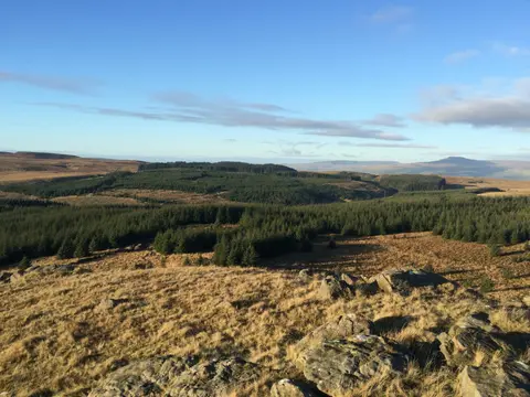
Underfoot it is a mix of field path, packhorse track and open moorland, with the exposed central section over the watershed the most demanding and the most weather-dependent; the ends, around Oakwell Hall and in the Calder and Burnley valleys, are gentler and more sheltered.
The walk sits within reach of the West Yorkshire towns, so it can be joined and left in sections rather than done in one push. Haworth itself is served by the preserved Keighley and Worth Valley Railway, which gives an unusual way to reach the middle of the route.