A forty-five-mile circuit of Pendle in east Lancashire, over the hill and through the witch-trial country around it
Indicative — sampled from open terrain data along the simplified route.
The Pendle Way is a circular route of 45 miles around the district of Pendle in east Lancashire, starting and finishing at Barrowford, where the Pendle Heritage Centre stands. It can be joined at any of the villages on the loop and walked in either direction, usually over four or five days. The waymark is a black witch on a signpost, a reminder of what the route is really about.
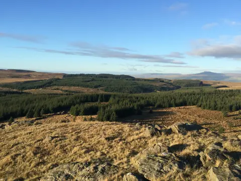
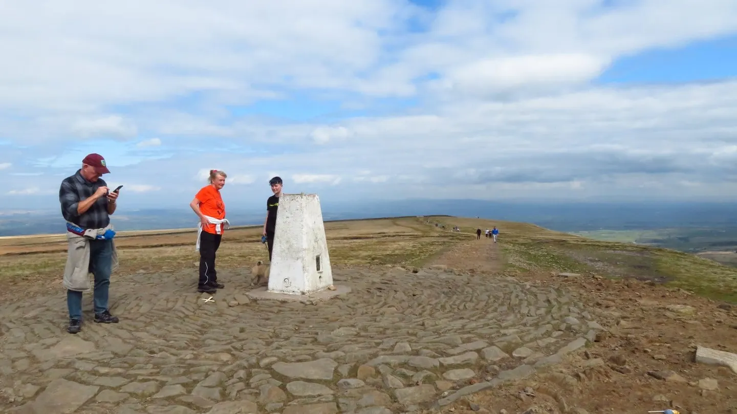
The great set piece is Pendle Hill itself, the long whaleback that dominates this country and rises to 557 metres — the highest point on the walk, and a stiff pull to the top for the view over the Ribble valley and the Forest of Bowland. Away from the hill the route crosses millstone-grit moor and mill-town fringe in the south and greener limestone pasture in the north, taking in the preserved hamlet of Wycoller with its ruined hall and old clapper bridges, and passing Barley and Newchurch in Pendle.
The walking is moderate, with the climb of Pendle Hill and some exposed moorland the main efforts; the rest is farmland, reservoir track and old packhorse ways. None of it is far from a road or village.
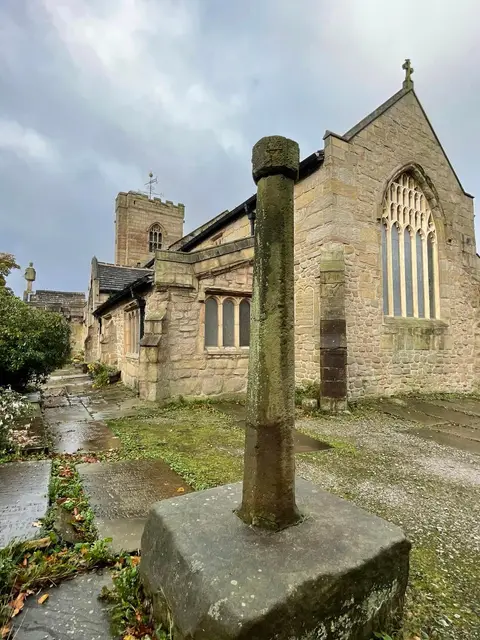
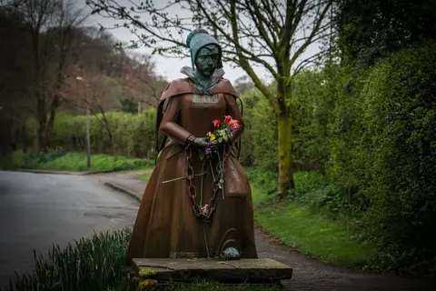
The route is named for the Pendle witches. In 1612 twelve people from around the hill were accused of witchcraft, ten of them tried at Lancaster and hanged — one of the best-documented witch trials in English history. The trail deliberately threads together the places tied to the story, Newchurch and Barley among them, so the history is on the ground rather than laid over it.