About twenty-one miles of river navigation across West Yorkshire, from Wakefield up the Calder valley to Sowerby Bridge
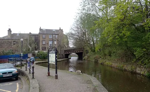
The Calder & Hebble Navigation runs about 21 miles up the Calder valley from Wakefield to Sowerby Bridge, climbing through some 28 locks. It is part river and part canal: an improvement of the River Calder, with lengths of artificial cut dug to bypass the awkward or shallow stretches. The name takes in both the Calder and the Hebble, the small brook that runs down to the river at Halifax.
The scheme was authorised by an Act of 1758, engineered in its early form by John Smeaton, and opened for boats in 1770. Its locks were built short — around 57 feet — which is why the older Yorkshire barges that worked here were built to match, and why boats from the longer canals to the west could not always pass through. When the Rochdale Canal opened in 1804 and joined the navigation just short of Sowerby Bridge, through traffic across the Pennines grew, and Sowerby Bridge became a busy point for transferring cargo between the two.
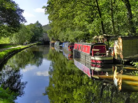
Commercial carrying held on here longer than on many waterways — coal was still being taken to Thornhill power station into the 1980s — before the trade ended and the navigation passed to leisure use.
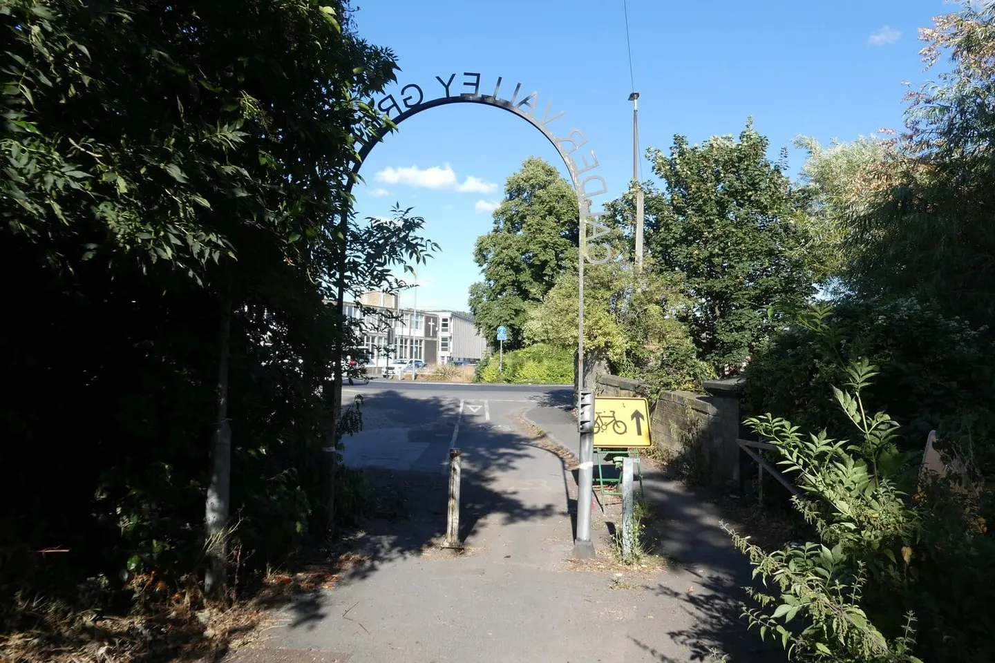
For a walker or cyclist the towpath is level and easy, running through mill-town West Yorkshire rather than open country. The navigation links directly to the Aire and Calder Navigation at Wakefield and the Rochdale Canal at Sowerby Bridge, and a branch reaches towards Huddersfield, so it forms one side of the through routes that cross the Pennines by water.