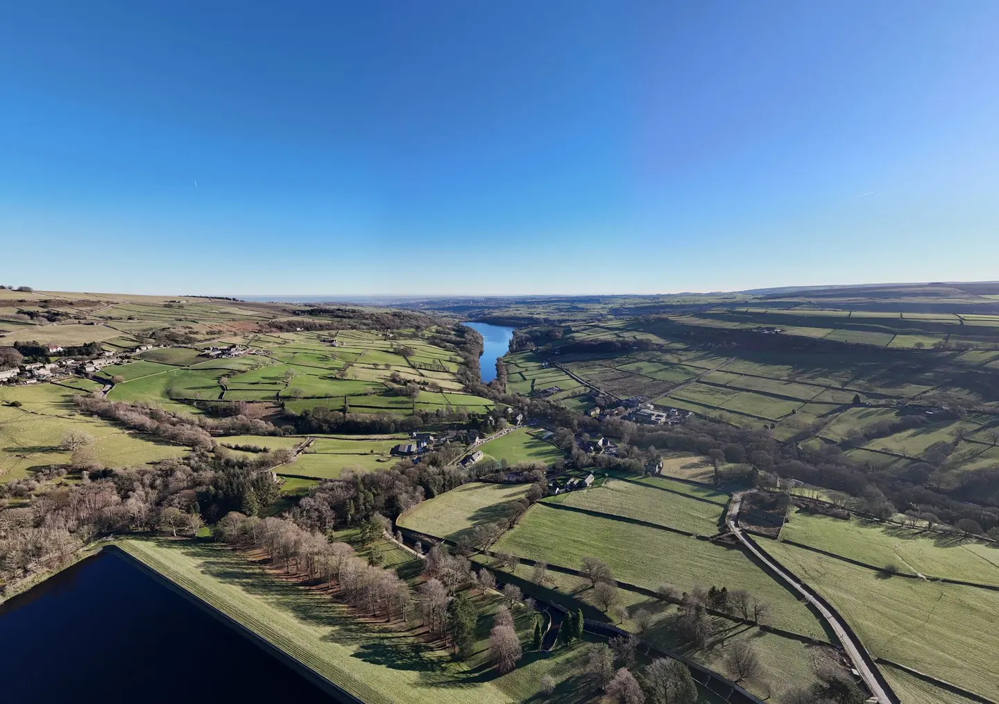
Places to explore near Huddersfield
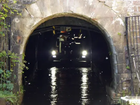
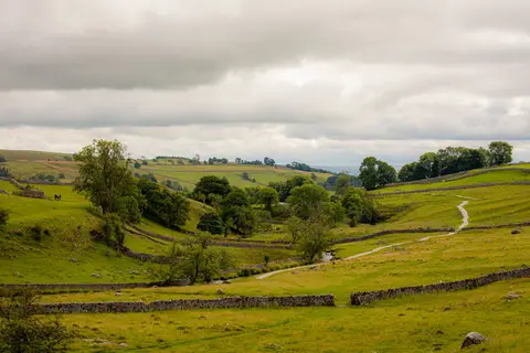
A gritstone mill town where the Colne and Holme rivers meet, Huddersfield made its money from worsted cloth and wears its Victorian confidence in a station front worthy of a palace. The Pennine moors press in on three sides. Marsden Moor climbs west towards the Standedge Tunnel, where canal and railway bore under the watershed, and the Pennine Way crosses the tops into the dark gritstone edges of the Peak District. Above the town, the tower on Castle Hill crowns an Iron Age fort.
96 places within 25 km — the standouts first, nearest first within each group. 3 are national icons.
Worth the tripnational icons and local highlights within reach

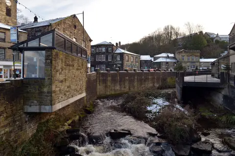
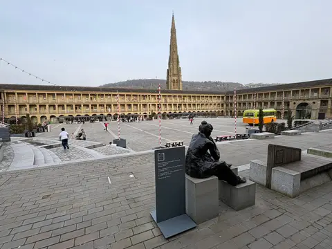
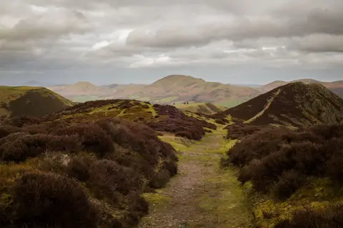
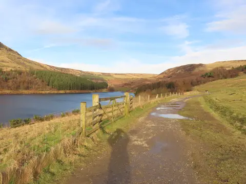
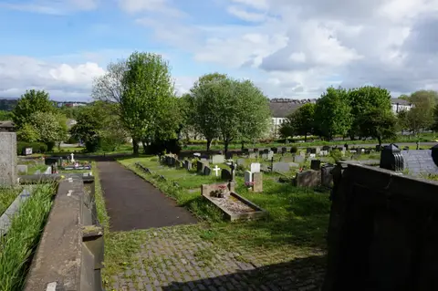
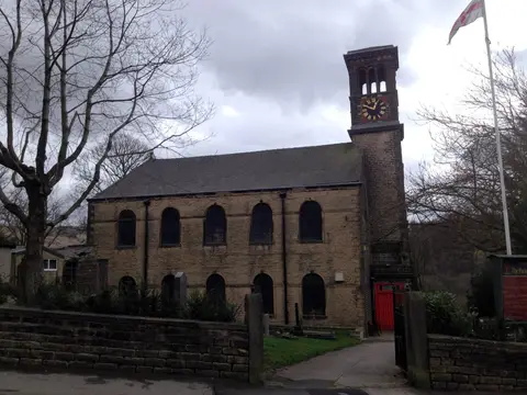
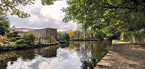
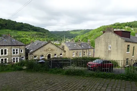
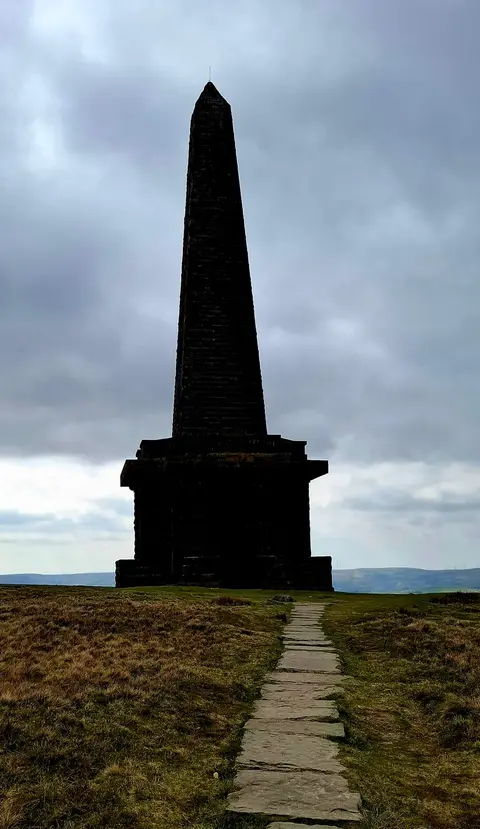
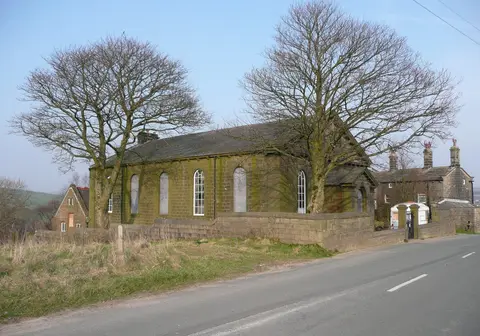
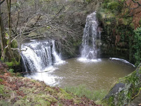
Also nearbygood places nearby, nearest first
Everything else within 25 km (59) — reserves, earthworks & places to check before travelling
- RippondenVillage11 km W
- Shibden Mill InnPub11.5 km N
- Oakwell Hall Country ParkCountry park12.3 km NE
- The Fountain InnPub12.7 km SE
- Marsden Moor EstateCountry estate12.8 km SW
- Black Hill (West Yorkshire)Marilyn13.4 km SW
- Leeds Country WayLong-distance path13.7 km NE
- LuddendenVillage13.9 km NW
- Lord NelsonPub14 km NW
- Way Stone EdgeCounty top14.5 km W
- Bretton Country ParkCountry park14.6 km E
- Cannon Hall ParkCountry park14.9 km SE
- Cannon Hall FarmFarm & farm shop15.2 km SE
- Cannon HallGarden15.3 km SE
- The Cricketers ArmsPub15.4 km E
- Ogden Water Country ParkCountry park16 km NW
- Spencer's ArmsPub16.6 km SE
- CawthorneVillage16.6 km SE
- Blackstone EdgeCounty top16.9 km W
- The Church Inn (Saddleworth)Pub16.9 km SW
- The Cross Keys (Uppermill)Pub16.9 km SW
- Pugneys Country ParkCountry park18 km E
- DelphVillage18 km SW
- UppermillVillage18.2 km SW
- Almondbury Castle HillHillfortaccess unclear2.6 km S
- Honley Station CuttingSSSIaccess unclear3.8 km S
- Elland Bypass CuttingSSSIaccess unclear4.3 km NW
- Cambodunum Roman fortRoman archaeological siteaccess unclear5.9 km W
- Kirklees PrioryPrioryaccess unclear6.4 km NE
- SlaithwaiteVillage6.7 km W
- iglu sauna, SlaithwaiteSauna7.3 km W
- Castle Hall Hill motteCastleaccess unclear7.8 km NE
- Dark PeakSSSI8.5 km SW
- The Huntsman InnPub9.5 km S
- The Sun Inn (Flockton)Pub9.5 km E
- Halifax MinsterChurch9.8 km NW
- South Pennine MoorsSSSI9.9 km W
- Uppergate Farm Woodland SaunaSauna10 km S
- The Old Bridge Inn (Ripponden)Pub10.9 km W
- Sowerby BridgeVillage11 km NW
- Rake DikeSSSI11.2 km S
- Park CloughSSSI12 km W
- Castle Hill motte, Rosemary HallCastleaccess unclear12.3 km NW
- Denby Grange Colliery PondsSSSIaccess unclear12.4 km E
- Standedge Road CuttingSSSIaccess unclear14.3 km SW
- Battle of Adwalton MoorBattlefield14.4 km NE
- Cragg ValeVillage15.6 km NW
- DiggleVillage16.2 km SW
- Blackstone Edge Roman roadRoman archaeological site16.4 km W
- Broadhead CloughSSSI16.4 km NW
- Woolley EdgeCounty topaccess unclear16.6 km E
- Withens CloughSSSI16.7 km NW
- Black Chew HeadCounty top16.9 km SW
- Pye Flatts MeadowsSSSIaccess unclear17.1 km SE
- Spring Meadows and Cow Croft MeadowsSSSI17.1 km SE
- Little Don Stream SectionSSSIaccess unclear17.8 km SE
- Seckar WoodSSSIaccess unclear17.8 km E
- Ladcastle & Den QuarriesSSSIaccess unclear18 km SW
- Hoar Stones - Howden EdgeCounty top18.3 km S
Ordered by how far each place is worth travelling for, then by distance. Distances are straight-line to the nearest edge of each place — paths wind, of course.