A sixty-two mile ring of green country around Leeds, close to the city but mostly rural the whole way
Indicative — sampled from open terrain data along the simplified route.
The Leeds Country Way is a 62-mile circular route around the edge of Leeds, kept to the green belt and farmland that rings the city. It is traditionally begun clockwise from Golden Acre Park to the north, though as a loop it can be started anywhere and walked in either direction, usually over four or five days. The route is arranged so that it is never more than about seven miles from Leeds city centre, yet stays surprisingly rural throughout.
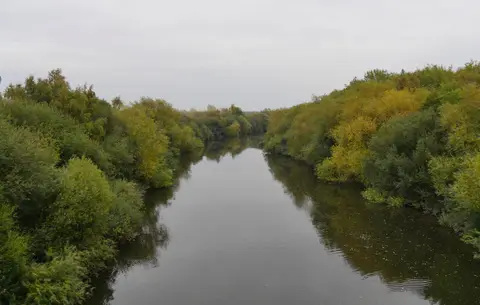
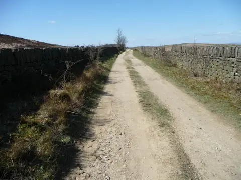
It follows field paths and bridleways, with some road sections and a good many viewpoints across the rolling country of the Aire and Wharfe valleys. Along the way it skirts the grounds of Harewood House, passes through villages such as Bardsey, Thorner and Barwick-in-Elmet — the last known for its tall maypole and an Iron Age earthwork — and swings south near Wakefield before returning by Pudsey and Horsforth. The walking is undulating rather than hilly, with no serious climbs.
The route was first devised by Fred Andrews of the Ramblers and developed by West Yorkshire County Council in the early 1980s. Its southern section was realigned in 2006 so that the whole ring now stays within the Leeds district, and it was relaunched with new waymarking then.
Being a circuit around a large city, it is well served for access. Several points on the ring are within reach of local rail and bus routes, so it is easily broken into day sections for anyone based in or near West Yorkshire.