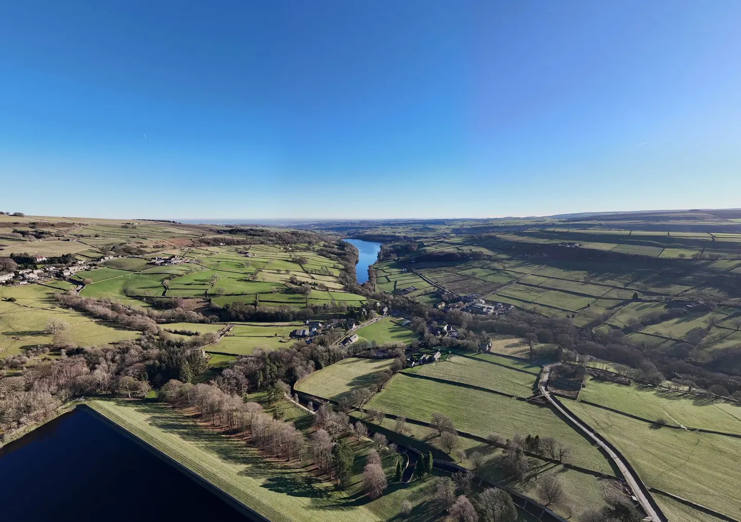
Places to explore near Wakefield
A cathedral and market city that grew on wool, then coal, Wakefield keeps the tallest spire in Yorkshire and one of only four bridge chapels left in England. It sits on the River Calder amid the flat, forced-rhubarb fields of the West Riding. Just south, the earthwork mound of Sandal Castle overlooks the site of a Wars of the Roses battle. The parkland of the Yorkshire Sculpture Park spreads Moore and Hepworth across the hills to the west, and the ruined Pontefract Castle guards the plain to the east.
88 places within 25 km — the standouts first, nearest first within each group. 2 are national icons.
Worth the tripnational icons and local highlights within reach

Also nearbygood places nearby, nearest first
Everything else within 25 km (66) — reserves, earthworks & places to check before travelling
- Aire & Calder NavigationRiver navigation8.6 km NE
- Bretton Country ParkCountry park8.7 km SW
- Fitzwilliam Country ParkCountry park10 km SE
- Farmer CopleysFarm & farm shop10.8 km E
- Oakwell Hall Country ParkCountry park12.4 km NW
- Bronte WayLong-distance path12.6 km NW
- Cannon Hall ParkCountry park13.6 km SW
- Dearne Valley Country ParkCountry park13.6 km S
- Spencer's ArmsPub13.6 km S
- Cannon Hall FarmFarm & farm shop13.7 km SW
- CawthorneVillage13.7 km S
- Cannon HallGarden13.8 km SW
- Monk Bretton PrioryPriory14.9 km S
- Pudsey CemeteryHouse & garden16.9 km NW
- Worsbrough Mill Country ParkCountry park17.2 km S
- Netherwood Country ParkCountry park17.4 km S
- Calderdale WayLong-distance path18.1 km W
- Steeton Hall GatewayLandmark18.5 km NE
- The Fountain InnPub18.5 km SW
- Lotherton Hall Estate Country ParkCountry park18.6 km NE
- Huddersfield Narrow CanalCanal18.7 km W
- Magic Rock Brewing TapBrewery19.2 km W
- Phoenix ParkCountry park20.1 km SE
- Wakefield CathedralChurch0.1 km E
- Lowe Hill motteEarthworks of a former castleaccess unclear1.2 km SW
- Sandal CastleEarthworks of a former castleaccess unclear2.7 km S
- Newland PreceptoryPreceptoryaccess unclear3.7 km NE
- Seckar WoodSSSIaccess unclear6.2 km S
- Rothwell CastleCastleaccess unclear7.5 km N
- Woolley EdgeCounty topaccess unclear7.8 km S
- Nostell Brickyard QuarrySSSIaccess unclear7.9 km SE
- Denby Grange Colliery PondsSSSIaccess unclear8.1 km SW
- Buildings at Nostell Priory FarmPrioryaccess unclear8.2 km SE
- Mickletown IngsSSSIaccess unclear9.4 km NE
- Dearne Valley WetlandsSSSI10.1 km SE
- The Sun Inn (Flockton)Pub11.2 km SW
- Townclose HillsSSSI11.8 km NE
- Castle Hall Hill motteCastleaccess unclear12 km W
- Fairburn and Newton IngsSSSIaccess unclear12 km NE
- Manor Garth Hill ringworkEarthworks of a former castleaccess unclear12.7 km NE
- Pontefract CastleEarthworks of a former castleaccess unclear12.9 km E
- Fairburn Ings (Newton Abbey) moatAbbeyaccess unclear13.2 km NE
- St John's Priory (West Yorkshire)Prioryaccess unclear13.2 km E
- Roach Lime HillsSSSIaccess unclear13.5 km NE
- Battle of Adwalton MoorBattlefield14.1 km NW
- Madbanks and Ledsham BanksSSSIaccess unclear14.4 km NE
- Leeds - Liverpool CanalSSSIaccess unclear14.5 km NW
- Ledston Hall and ParkHouse & gardenaccess unclear14.6 km NE
- Ferrybridge HengeHengeaccess unclear14.6 km E
- Wentbridge IngsSSSIaccess unclear14.7 km E
- Carlton Main BrickworksSSSIaccess unclear14.8 km SE
- Kirklees PrioryPrioryaccess unclear15.7 km W
- BrockadaleSSSIaccess unclear16.1 km E
- Micklefield QuarrySSSIaccess unclear16.2 km NE
- Castle Hills settlementCastleaccess unclear16.6 km NE
- Pye Flatts MeadowsSSSIaccess unclear16.6 km S
- Stairfoot BrickworksSSSIaccess unclear16.7 km S
- Cherry Tree InnPub17 km S
- Hook MoorSSSI17.6 km NE
- South Elmsall QuarrySSSIaccess unclear17.7 km SE
- Barwick-in-Elmet CastleHillfortaccess unclear18 km N
- Almondbury Castle HillHillfortaccess unclear19.1 km W
- Sherburn WillowsSSSIaccess unclear19.2 km NE
- St John the Baptist's Church, AdelChurch19.6 km N
- Honley Station CuttingSSSIaccess unclear20.3 km SW
- Eccup ReservoirSSSIaccess unclear20.4 km N
Ordered by how far each place is worth travelling for, then by distance. Distances are straight-line to the nearest edge of each place — paths wind, of course.