A fifty-mile circuit of the hills, moors and mill valleys of Calderdale, starting and finishing at Brighouse
Indicative — sampled from open terrain data along the simplified route.
The Calderdale Way is a 50-mile circular walk around the upper Calder valley in West Yorkshire. It is usually started at Brighouse, on the Calder and Hebble Navigation, and can be walked in either direction, most often over four or five days. Because it is a ring, it can also be joined at any of the towns and villages it passes, and shorter circuits can be made using the link paths that run in from the valley floor.
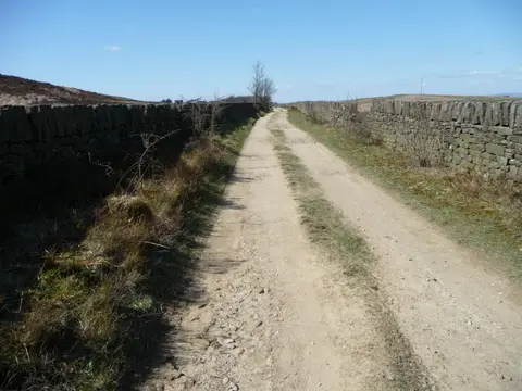
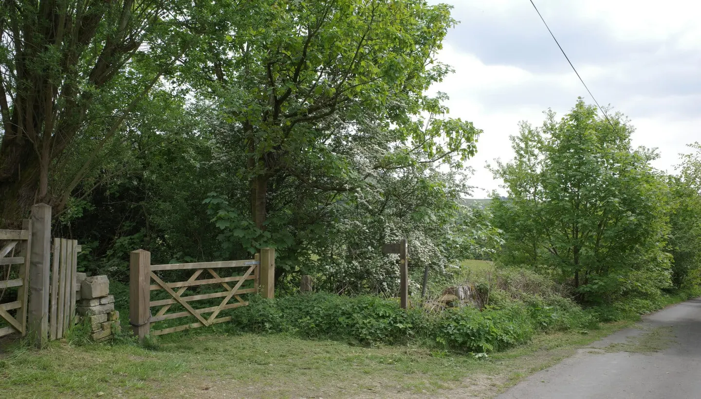
The route keeps to the high ground on both sides of the valley, encircling Hebden Bridge, Halifax and Todmorden rather than passing through their centres. It follows old packhorse ways across open gritstone moor, with stretches of the flagged stone causeway the packhorse trains once used, dropping through hillside villages and former mill towns and climbing back out again. It is an up-and-down walk with few level sections, which makes fifty miles feel longer than the figure suggests.
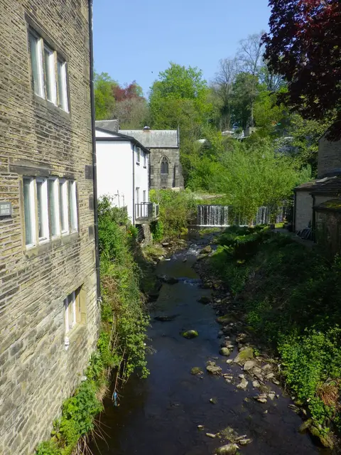
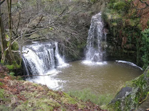
The scenery is the industrial Pennines grown quiet: moorland edges, cloughs, drystone walls, chimneys and terraces below in the valleys. Down at the start the Calder and Hebble Navigation offers a flat contrast to the tops.
The way was created to mark the formation of the Calderdale borough in 1974 and opened in 1978, put together and promoted by a group of local civic trusts. It stays close to the railway that runs along the valley bottom, so a walker can reach the ring at several points by train and break the circuit into day sections.