The first trans-Pennine canal, thirty-two miles and ninety-one locks from Manchester over the summit to Sowerby Bridge
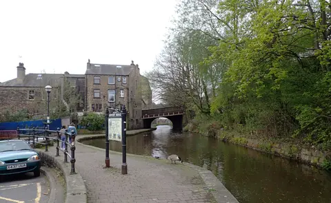
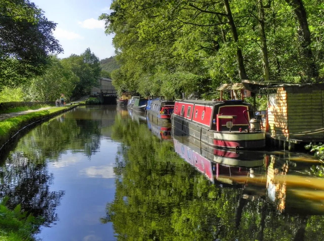
The Rochdale Canal was the first canal to carry boats right across the Pennines, and it did it the direct way — over the top rather than through a long summit tunnel. It runs 32 miles from Castlefield in Manchester, where it leaves the Bridgewater Canal, up to the summit near Littleborough and down into Calderdale to finish at Sowerby Bridge, where it joins the Calder and Hebble Navigation. That climb needs a great many locks: 91 in all, so the walking is never far from a lock gate.
It is a broad canal, built wide enough for barges, and opened throughout in 1804. For a century it was one of the busiest waterways in the country, the working route between the mills of Lancashire and West Yorkshire. The railways and then the roads took its trade; through navigation ended by the 1930s, and an Act of 1952 closed most of it. The M62 was later driven across the line without regard for it.
A long restoration, much of it by volunteers, reopened the canal in stages, and on the first of July 2002 the last gap was closed and boats could pass end to end again. Part of that work was Tuel Lane Lock at Sowerby Bridge, built to replace two original locks and now the deepest lock in the country.
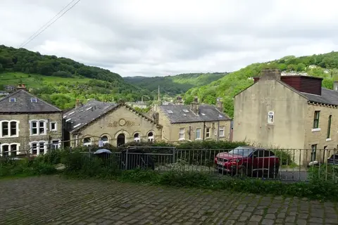
The best of the walking is the Calderdale half, where the canal, the River Calder and the railway thread the steep-sided valley together through Todmorden and Hebden Bridge, both with stations on the towpath.