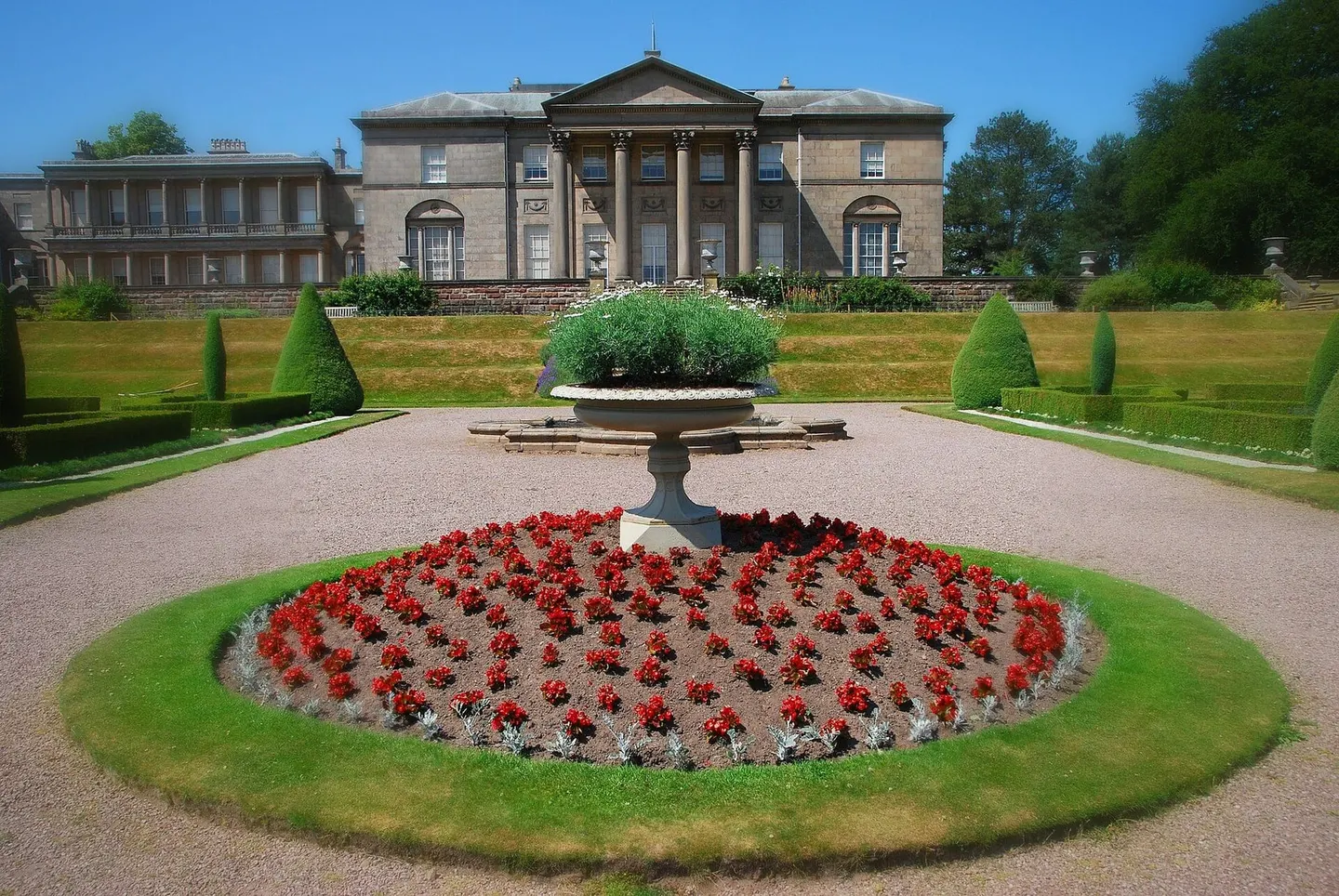
Places to explore near Manchester
The world's first industrial city grew on cotton, its warehouses and canals fed by the Pennine rain that streams off the moors on three sides. The Bridgewater Canal, Britain's first true canal, still runs out to Worsley. East and south the ground climbs into the Peak District: the gritstone plateau of Kinder Scout, where the 1932 mass trespass forced open the right to roam, and the shivering slopes of Mam Tor above Castleton. Reservoirs and clough-cut moorland begin within half an hour of the city centre.
94 places within 25 km — the standouts first, nearest first within each group. 4 are national icons.
Worth the tripnational icons and local highlights within reach
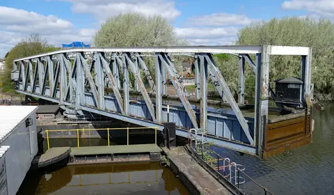
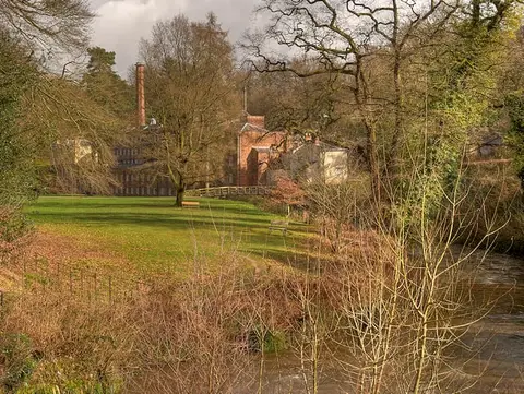
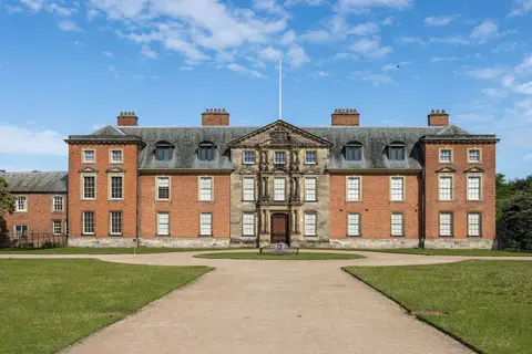
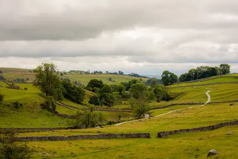
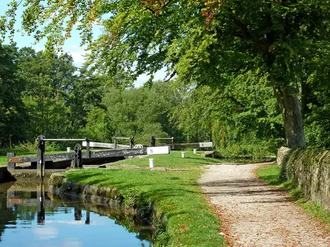

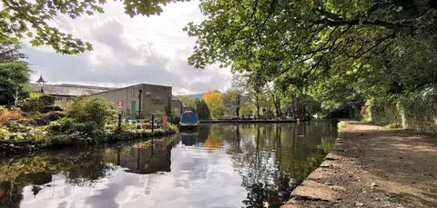
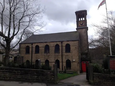
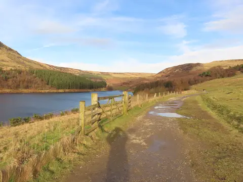
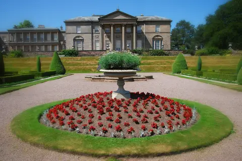
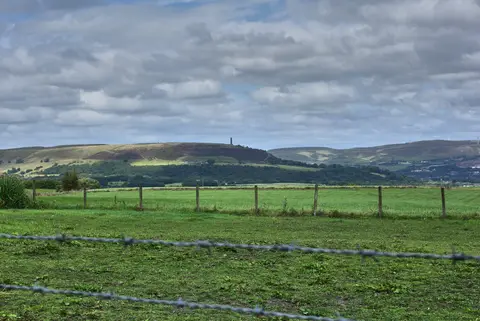
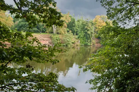
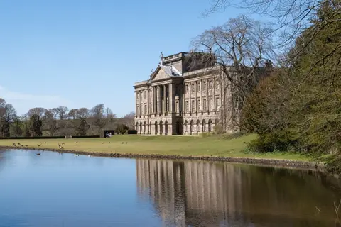
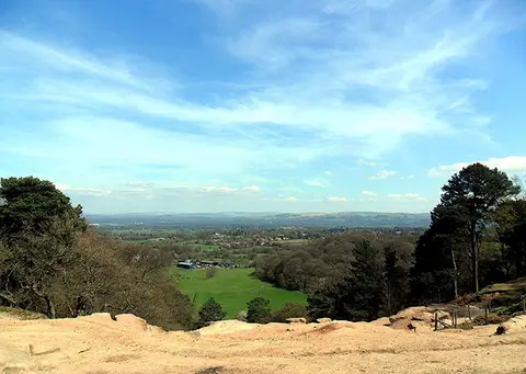
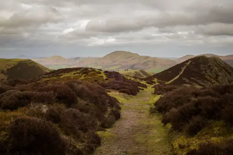
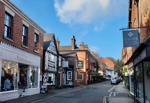
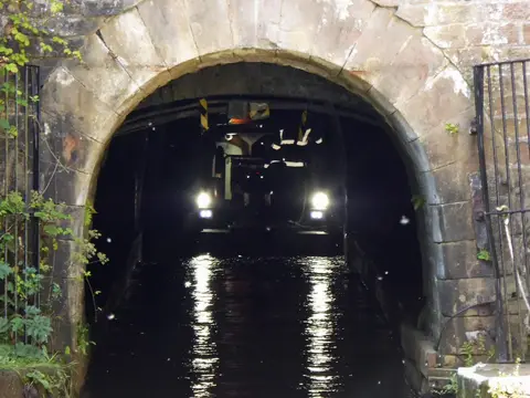
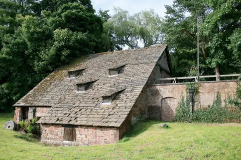
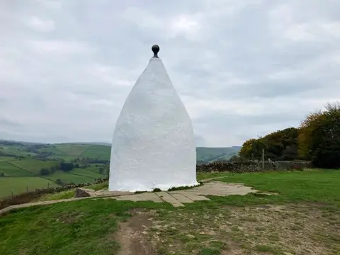
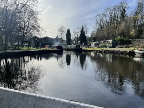
Also nearbygood places nearby, nearest first
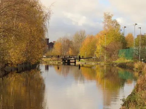
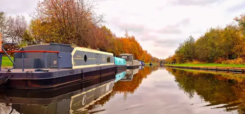
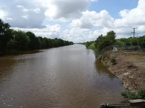
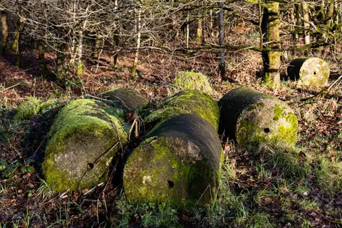

Everything else within 25 km (62) — reserves, earthworks & places to check before travelling
- Mersey Vale Country ParkCountry park8.3 km S
- Peak Forest CanalCanal9.3 km E
- Huddersfield Narrow CanalCanal9.5 km E
- WorsleyVillage9.9 km W
- RHS Garden BridgewaterGarden10.3 km W
- Alexandra Park, OldhamHouse & garden10.9 km NE
- Blackleach Country ParkCountry park11.2 km NW
- Tandle Hill Country ParkCountry park11.9 km NE
- Moses Gate Country ParkCountry park12.2 km NW
- Chadkirk Estate Country ParkCountry park12.6 km SE
- Werneth Low Country ParkCountry park12.6 km E
- Stalybridge Country ParkCountry park13.9 km E
- Etherow Country ParkCountry park14.3 km SE
- Burrs Country ParkCountry park14.6 km N
- Seven Acres Country ParkCountry park15.1 km NW
- MarpleVillage15.2 km SE
- The Navigation InnPub15.3 km SE
- Macclesfield CanalCanal15.5 km SE
- The Swan with Two NicksPub15.6 km SW
- St Werburgh's ChurchChurch16.4 km SW
- RostherneVillage16.8 km SW
- UppermillVillage17.3 km NE
- DelphVillage17.4 km NE
- St Mary's Church (Rostherne)Church17.4 km SW
- LymmVillage18.2 km SW
- Mellor MoorCounty top18.3 km SE
- Lyme Valley ParkCountry park18.5 km SE
- The Plough & FlailPub18.5 km S
- The Church Inn (Saddleworth)Pub18.6 km NE
- Hanging BridgeCathedralaccess unclear0.5 km N
- Eastern wall of the Roman fortRoman archaeological siteaccess unclear0.9 km SW
- OpenSwim Sauna, Sale Water ParkSauna6.6 km SW
- Heaton ParkCounty topaccess unclear6.7 km N
- Hollinwood Branch CanalSSSI7.2 km E
- Huddersfield Narrow CanalSSSIaccess unclear9.5 km E
- AshcloughSSSIaccess unclear11.1 km NW
- Lowside BrickworksSSSIaccess unclear11.7 km NE
- Nob EndSSSIaccess unclear12 km NW
- Brookheys CovertSSSIaccess unclear12.3 km SW
- Risley, Holcroft and Chat MossNational Nature Reserve12.4 km W
- Newcombe Drive (Greenheys)County topaccess unclear13.7 km NW
- Astley & Bedford MossesSSSI13.8 km W
- St Mary's (Bowdon)County topaccess unclear13.9 km SW
- Cotteril CloughSSSIaccess unclear14.1 km S
- Dunham ParkSSSIaccess unclear14.3 km SW
- Compstall Nature ReserveSSSI14.8 km SE
- Watch Hill motteEarthworks of a former castleaccess unclear15.2 km SW
- Buckton CastleEarthworks of a former castle15.3 km E
- CastlesteadsPromontory fortaccess unclear15.4 km N
- Tonge River SectionSSSIaccess unclear15.8 km NW
- Holcroft MossSSSI15.9 km W
- Rostherne MereNational Nature Reserve16.4 km SW
- Dark PeakSSSI16.7 km E
- Lindow CommonSSSIaccess unclear16.7 km S
- Ludworth IntakeSSSI16.8 km SE
- Rixton Clay PitsSSSIaccess unclear17 km SW
- Melandra CastleCastleaccess unclear17.1 km E
- Ladcastle & Den QuarriesSSSIaccess unclear17.2 km NE
- Risley MossSSSI17.4 km W
- MobberleyVillage17.9 km S
- Robin Hood's Picking RodsCounty topaccess unclear18.1 km SE
- Hoarstone EdgeCounty top18.3 km E
Ordered by how far each place is worth travelling for, then by distance. Distances are straight-line to the nearest edge of each place — paths wind, of course.