England's first great canal, running level and lock-free for thirty-nine miles from Runcorn through Manchester to Leigh
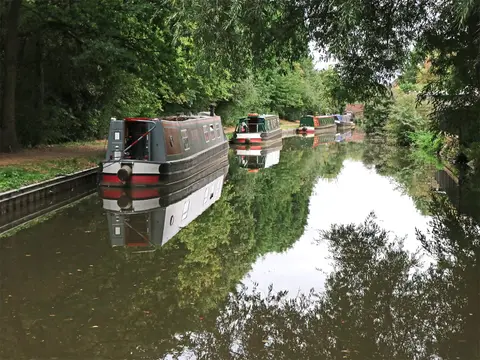
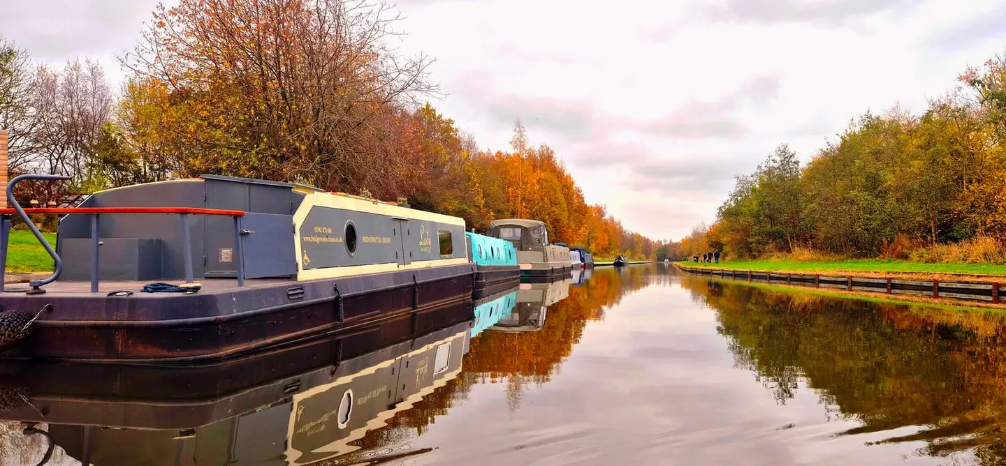
The Bridgewater Canal is usually called the first true canal in England, and much of what made it remarkable is still plain on the ground: it holds one level the whole way, following the contours of the land rather than climbing through locks. From Runcorn on the Mersey it runs up to Manchester and out west to Leigh, about 39 miles in all, with no locks on the through route. For a walker or cyclist that makes the towpath — now waymarked as the Bridgewater Way — flat and easy to follow, and for a boater it is one of the simplest cruising waters in the North West.
The canal was built for Francis Egerton, third Duke of Bridgewater, to carry coal from his mines at Worsley into Manchester, and it opened in 1761. His engineer was James Brindley, whose original aqueduct over the River Irwell at Barton was later replaced by the Barton Swing Aqueduct, which pivots aside to let ships pass along the Manchester Ship Canal beneath it. The canal’s success set off the wave of canal-building that followed across the country.
It is also a hub. At Leigh it joins the Leeds and Liverpool Canal, at Preston Brook the Trent and Mersey Canal, and in central Manchester it links the Rochdale and Ashton canals, so it sits at the centre of several cruising rings.
Unusually, the Bridgewater was never nationalised and remains privately owned, today by the Peel group. It threads through the built-up south of Greater Manchester — Stretford, Sale, Altrincham — but keeps long green, quiet stretches out towards Cheshire and the Leigh branch.