Six locking miles east across Manchester, climbing eighteen locks from the city centre to Ashton-under-Lyne
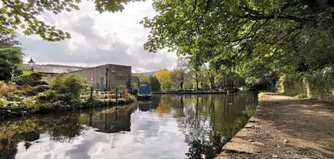
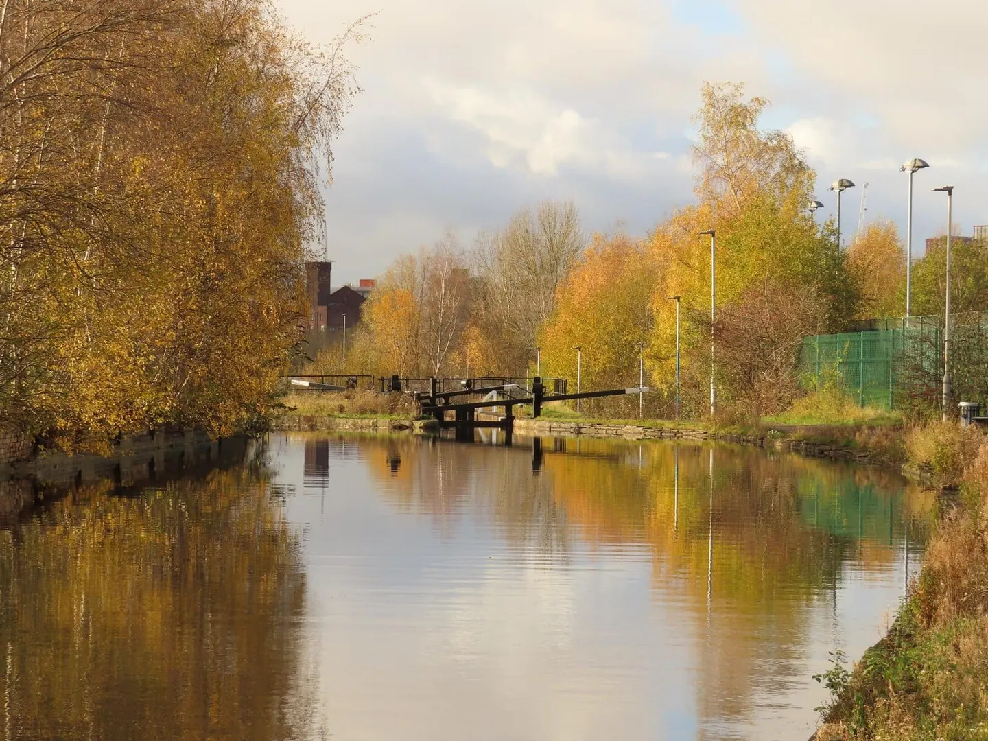
The Ashton Canal climbs about six miles east out of central Manchester, rising through eighteen locks from a basin behind Piccadilly Station up to Ashton-under-Lyne. It is a narrow canal, and a busy, urban one — the towpath runs through Ancoats, Clayton, Openshaw and Droylsden, past old mills, new flats and reclaimed industrial ground, with the lock flights giving the walk its shape and its steady pull uphill.
It was authorised in 1792 to link the coalfields around Oldham and the cotton mills of Ashton to Manchester, and opened in 1796. At its top end it meets the Huddersfield Narrow Canal in the middle of Ashton, and at Dukinfield Junction, by the Portland Basin, it joins the Peak Forest Canal. Those connections make it a link in the Cheshire Ring, the circuit of canals that boats cruise around the city and out into the hills.
Like most of the northern canals it was closed by the mid-20th century — abandoned to traffic in 1961 and left derelict. Its reopening in 1974 was one of the first real victories for the canal restoration movement, and much of the credit went to volunteers who cleared and rebuilt it. The restored Ashton Canal Warehouse at Portland Basin, now a local museum, gives a sense of how the waterway once worked.
The towpath is open the full length and easy to join at either end or from any of the stations along the way, Manchester Piccadilly being the obvious start. It is kept by the Canal & River Trust, and though it never leaves the built-up part of Greater Manchester, it is a genuine green-and-water route through the city.