Peak Forest Canal
Fifteen miles from Dukinfield up to Bugsworth Basin, over the Marple flight and the high aqueduct across the Goyt
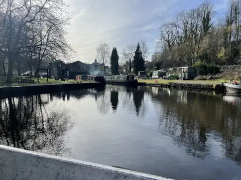
The Peak Forest Canal runs about fifteen miles from Dukinfield Junction, where it leaves the Ashton Canal, south-east to Bugsworth Basin on the edge of the Peak District. It falls into two levels joined by a single flight of sixteen locks at Marple, which lift the canal more than 200 feet in a couple of miles. Above the flight the upper level is lock-free all the way to Bugsworth and the branch to Whaley Bridge, and it is the quieter, more scenic half.
Just below Marple the canal crosses the River Goyt on a tall stone aqueduct, close to 100 feet high and among the finest in the country, with the railway viaduct striding alongside it. The Marple flight beside it, with its wooded lock gardens, is one of the set-pieces of the northern canals.
It was built to bring limestone down from the Derbyshire hills, opened in 1800, and fed by a tramway that ran up from Bugsworth Basin to the quarries at Dove Holes. Bugsworth was the terminus where stone and burnt lime were transhipped into boats, and at its height it was a busy inland port. Much of it fell derelict in the twentieth century.
The lower level, from Marple down to Dukinfield, reopened with the Ashton Canal in 1974, and Bugsworth Basin was restored and reopened in 2005 after decades of volunteer work. At Marple the canal also meets the Macclesfield Canal, so it forms part of the popular Cheshire Ring for boaters. The towpath is walkable throughout and links easily to the paths of the Goyt valley.