Dales High Way
The high-level companion to the Dales Way, ninety miles of tops from Saltaire to Appleby
Indicative — sampled from open terrain data along the simplified route.
The Dales High Way is the high-level counterpart to the Dales Way: where the older route keeps to the valleys, this one takes the tops. It runs 90 miles from Saltaire, the Victorian mill village outside Bradford, north to Appleby-in-Westmorland in Cumbria, and over its length climbs some 14,000 feet — a good deal more than most walks of the distance. Six days is the usual reckoning.
From Saltaire it crosses Rombalds Moor above Ilkley, then works north through the limestone country around Malham and Settle into the heart of the Yorkshire Dales. It goes over Ingleborough, one of the Three Peaks, drops into Dentdale at Dent, and finishes across the Howgill Fells — a long, grassy ridge above Sedbergh — before the descent to Appleby.
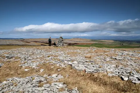
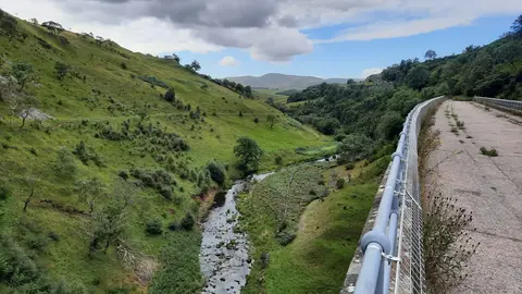
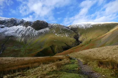
This is upland walking rather than riverside. There is open moor, limestone pavement that needs care in poor visibility, and stretches where you are a long way from shelter, so it asks more of navigation and fitness than the valley routes. The reward is height and views for most of the way rather than the occasional climb.
Both ends are on the railway: Saltaire has frequent trains from Leeds and Bradford, and the Settle-Carlisle line serves the northern half, calling at Settle, Dent and Appleby, which makes it easy to walk in sections. The route was devised by Tony and Chris Grogan, who published their guide in 2008.