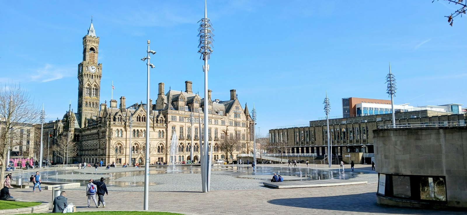
Photo Joseph Mama / Unsplash
Places to explore near Bradford
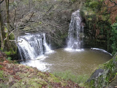
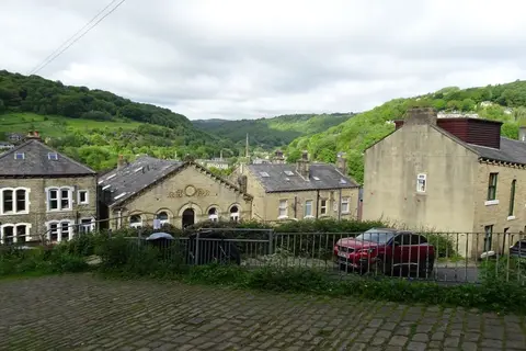
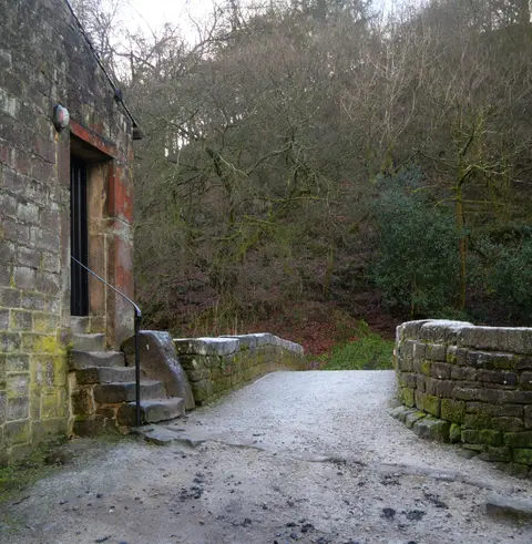
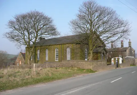
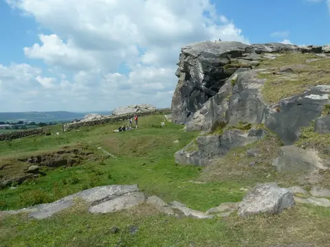
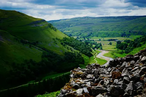
Wool made Bradford, and at its peak it spun more worsted than anywhere on earth; Saltaire, Titus Salt's model mill village on the Aire, is now a World Heritage Site. Moorland presses close on every side. Ilkley Moor rises to the north with its carved rocks and Cow and Calf crags, the Brontë parsonage at Haworth looks out over the moor that shaped the novels, and the Brontë Waterfall lies a walk beyond. Upper Wharfedale and the Otley Chevin open the Dales to the north.
96 places within 25 km — the standouts first, nearest first within each group. 6 are national icons.
Worth the tripnational icons and local highlights within reach
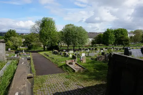
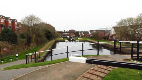
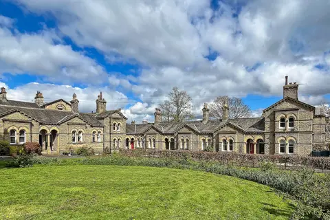
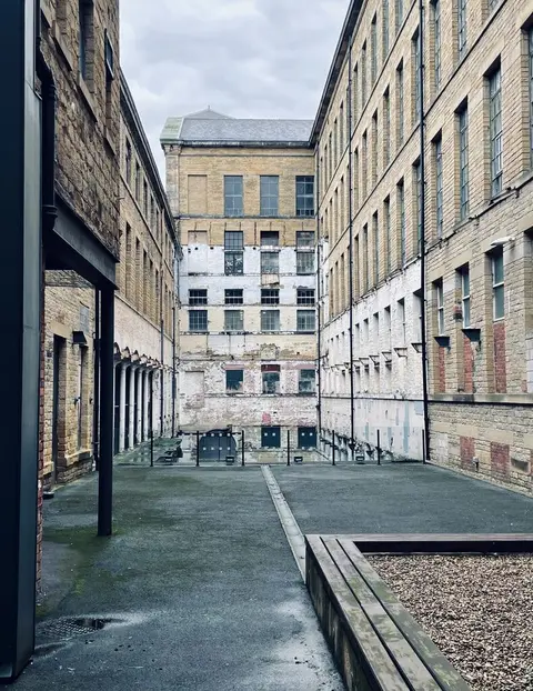
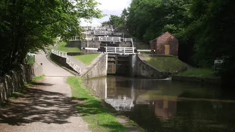
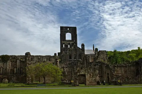
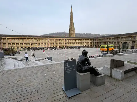
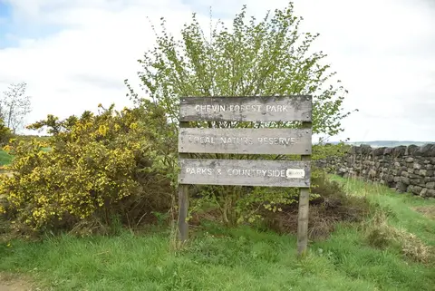
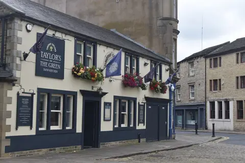
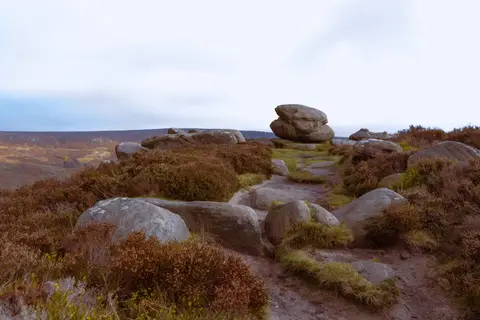
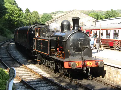
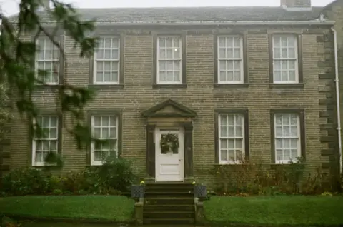
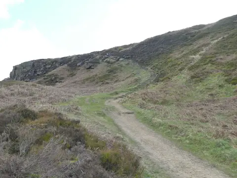
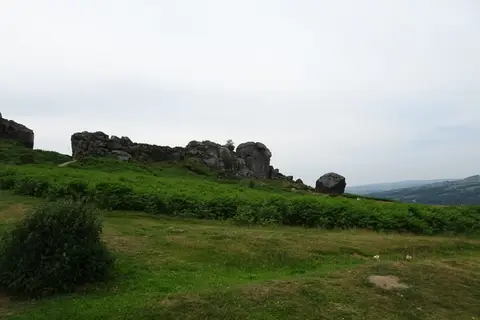
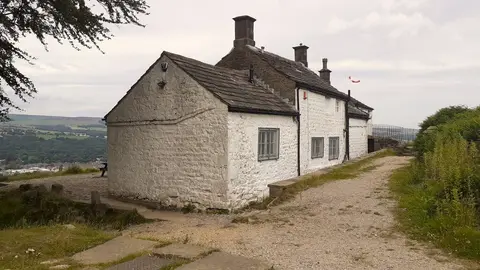
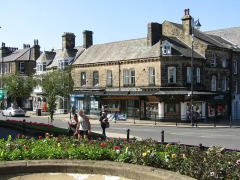
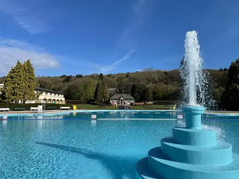
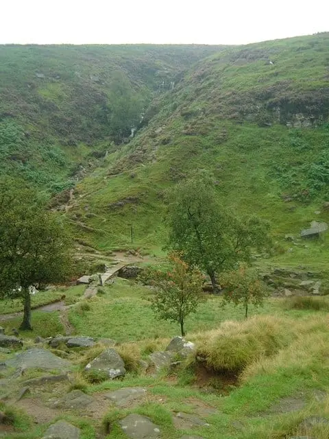
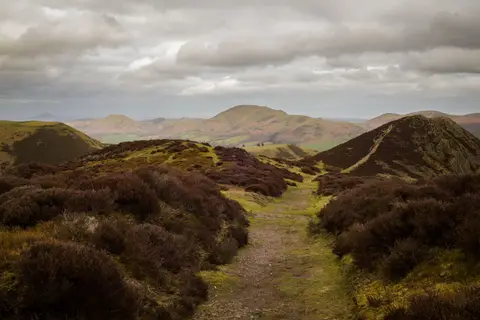
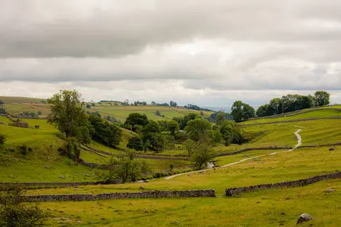
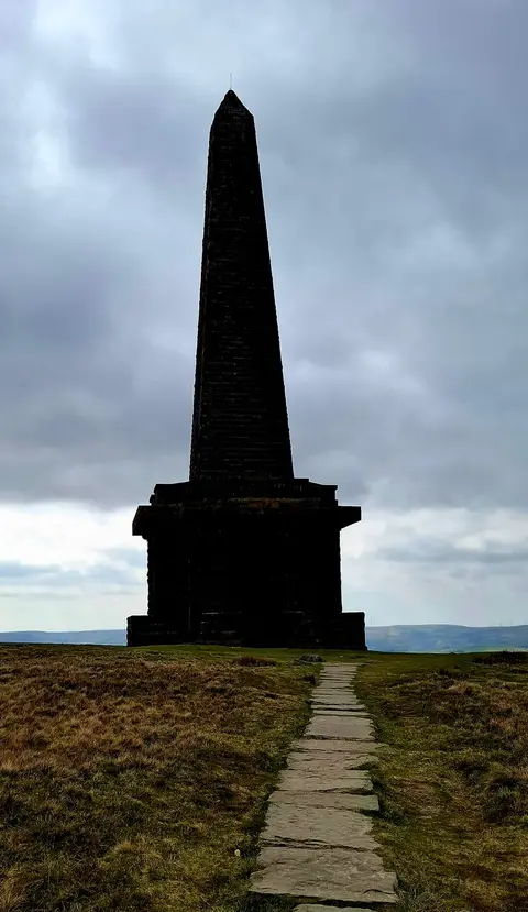
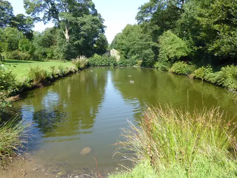
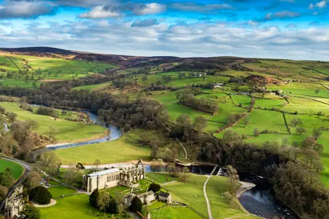

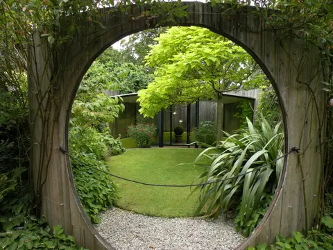
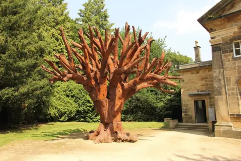
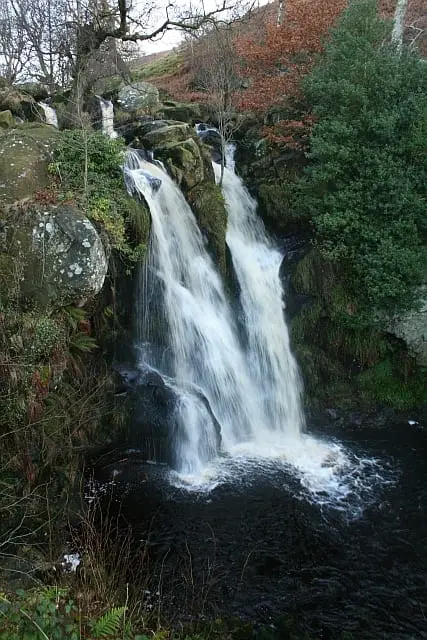
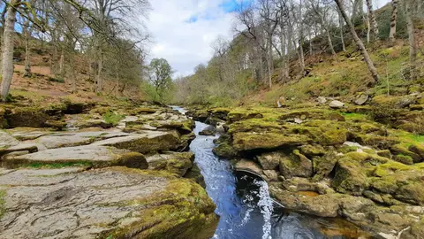
Also nearbygood places nearby, nearest first
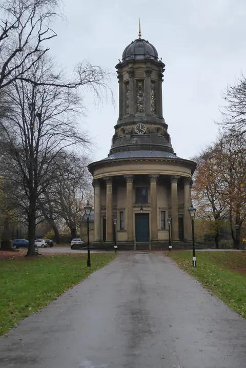
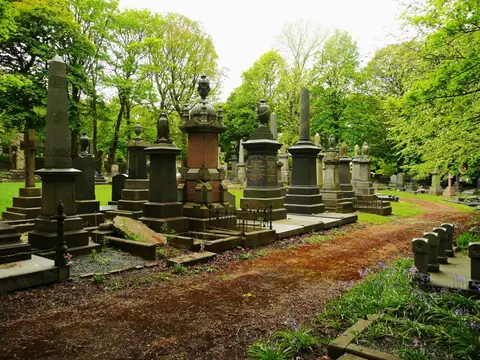
Everything else within 25 km (51) — reserves, earthworks & places to check before travelling
- Shibden Mill InnPub8.4 km SW
- Shibden Country ParkCountry park9.3 km SW
- Ogden Water Country ParkCountry park9.6 km W
- Calder & Hebble NavigationRiver navigation10.4 km S
- Peoples Park, HalifaxHouse & garden11.3 km SW
- East Riddlesden HallHouse & garden11.5 km NW
- All Saints' Church, OtleyChurch12.7 km N
- OtleyVillage13 km N
- Haworth Old Hall InnPub13.3 km W
- Rochdale CanalCanal13.4 km SW
- Golden Acre Country ParkCountry park13.4 km NE
- The Fleece InnPub13.4 km W
- Penistone Hill Country ParkCountry park13.7 km W
- Lord NelsonPub13.8 km SW
- LuddendenVillage13.8 km SW
- Aire & Calder NavigationRiver navigation13.9 km E
- Golden Acre ParkGarden14 km NE
- The Roebuck InnPub14.8 km N
- The Crescent InnPub15 km N
- All Saints' Parish Church, IlkleyChurch15.1 km N
- Dales WayLong-distance path15.5 km N
- Magic Rock Brewing TapBrewery15.7 km S
- Huddersfield Narrow CanalCanal16.8 km S
- Bradford Pennine GatewayNational Nature Reserve5.4 km N
- Trench MeadowsSSSI5.9 km NW
- Leeds - Liverpool CanalSSSIaccess unclear6.7 km NE
- Bingley South BogSSSIaccess unclear6.8 km NW
- Battle of Adwalton MoorBattlefield7.2 km SE
- Yeadon Brickworks & Railway CuttingSSSIaccess unclear8.1 km NE
- South Pennine MoorsSSSI9.1 km N
- Halifax MinsterChurch10.2 km SW
- Kirklees PrioryPrioryaccess unclear11.3 km S
- Burley MoorCounty top11.4 km N
- Grubstones stone circleStone circle11.6 km N
- Great Dib WoodSSSI11.7 km N
- Twelve Apostles stone circleStone circle12.2 km N
- Rombalds MoorMarilyn12.7 km N
- Breary MarshSSSI12.9 km NE
- St John the Baptist's Church, AdelChurch13.3 km NE
- The Cow and CalfPub13.5 km N
- St Michael and All Angels, HaworthChurch13.5 km W
- Elland Bypass CuttingSSSIaccess unclear13.6 km S
- Sowerby BridgeVillage13.8 km SW
- Castle Hall Hill motteCastleaccess unclear13.9 km S
- Adel Roman fortRoman archaeological siteaccess unclear13.9 km NE
- The Flying DuckPub15.1 km N
- Ilkley Roman FortRoman archaeological siteaccess unclear15.2 km N
- Eccup ReservoirSSSIaccess unclear15.3 km NE
- Wharfe at Cromwheel, IlkleySwimming spot15.6 km N
- Castle Hill motte, Rosemary HallCastleaccess unclear15.6 km SW
- West Nidderdale and Blubberhouses MoorsSSSI16.6 km N
Ordered by how far each place is worth travelling for, then by distance. Distances are straight-line to the nearest edge of each place — paths wind, of course.