A short, level six-mile cut across flat Yorkshire farmland, linking the River Aire to the Ouse at Selby
The Selby Canal is a six-mile waterway that runs from West Haddlesey, on the River Aire, north-east to the town of Selby, where it locks down into the Yorkshire Ouse. It has two locks — one at each end — and nothing in between, so the walk or paddle along it is flat and unbroken.
It was built by the Aire & Calder Navigation company to a plan by William Jessop and opened in 1778, cutting out the shallow, tidal lower reaches of the Aire. For nearly fifty years it was the main route by which cloth and coal from the West Riding reached the sea at Selby, until the company opened a shorter cut to Goole in 1826 and the traffic moved away. That left the Selby Canal as a quiet backwater, which is much what it remains.
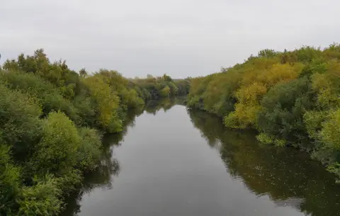
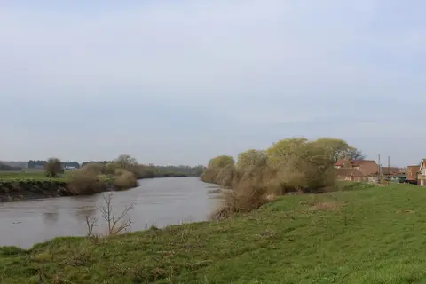
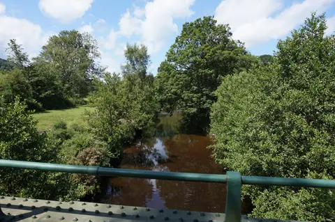
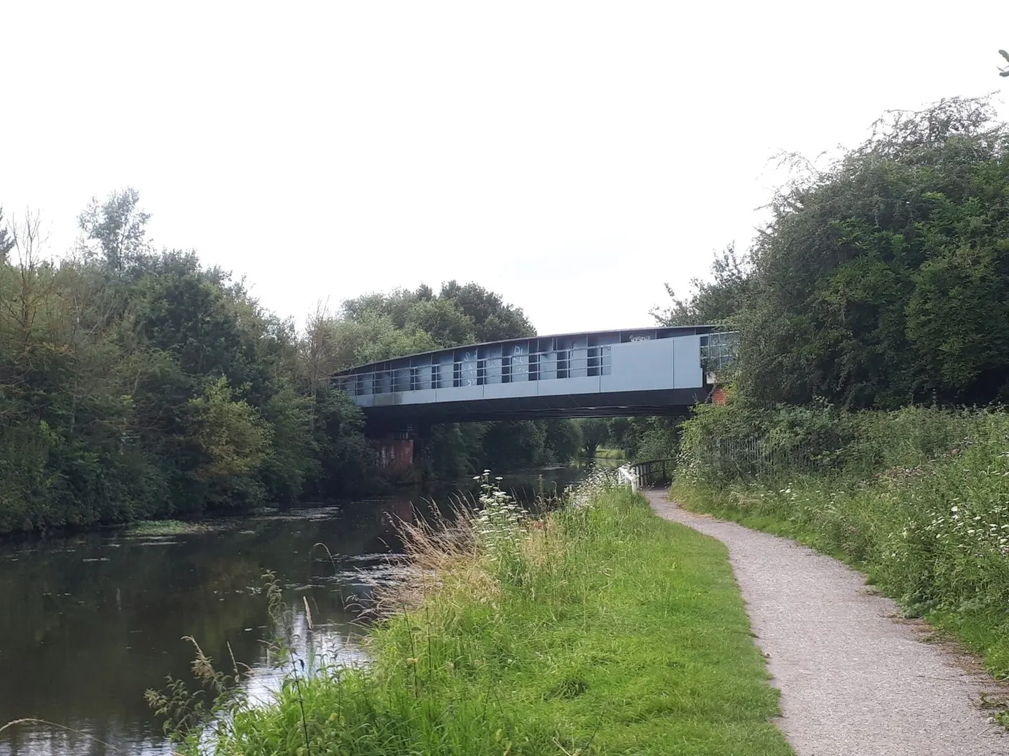
The canal runs through open, low-lying farmland, straight and reedy, with willows along the banks and few buildings until Selby itself. Because it is so level it is popular with anglers and easy walking, and the towpath is part of the local path network. Selby Lock, at the eastern end, drops boats onto the Ouse, and boaters need to time the tide there as the Ouse is tidal at this point.
Selby, at the far end, has its abbey and a railway station on the York-to-Hull line, which makes the canal simple to reach without a car. The other end, at West Haddlesey, connects to the wider Aire & Calder system, so the short canal is a link in a much longer through-route rather than a destination in itself.