More than a mile of causeway crosses Wheeldale Moor near Goathland, called Roman on a map as early as 1720 and argued over ever since
Open accessfree to visit at any reasonable time
Earthworks onlybanks, ditches and platforms — read the ground, not walls
In the local story, a giant named Wade built this road so he could get between his home at Mulgrave and his wife Bel’s at Pickering, which is why it’s also known as Wade’s Causeway. English Heritage calls it Wheeldale Roman Road, and on the heritage register it’s Goathland Roman road.
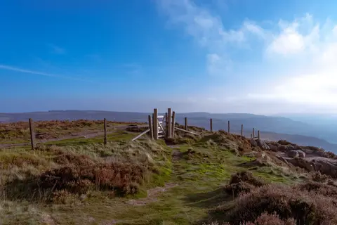
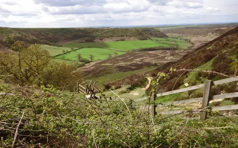
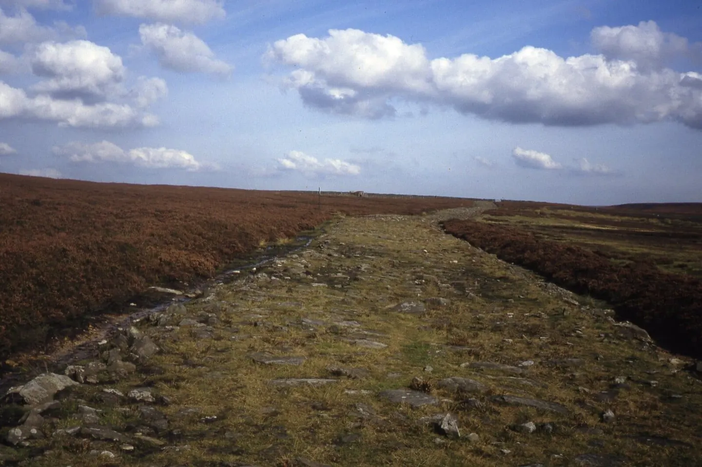
What you can see is a raised strip of ground, about six metres wide, running for roughly two kilometres high on the east side of the dale, above Wheeldale Beck. Its surface is a jumble of flat sandstone slabs, with drainage ditches along parts of it. Whatever gravel once topped the slabs has all but gone, and moorland plants have crept back over much of the stone since the stretch was exposed in 1912–20.
A map drawn in 1720 already marks it as a Roman way, and antiquarians traced it south towards Malton and north towards the coast near Whitby. The case isn’t settled. English Heritage’s own history allows that the causeway could be medieval, perhaps built to reach the moor’s minerals, and the archaeologist Blaise Vyner has argued that it was never a road, but a far older boundary from the Neolithic, or perhaps the early Bronze Age.
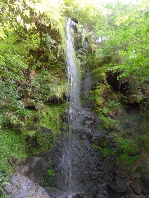
Out on open moorland with sheep about, the road is a few kilometres south-west of Goathland and the waterfall at Mallyan Spout, and you can visit free in daylight.
Full name: Goathland Roman road, on Wheeldale Moor
More at the National Heritage List entry