Open accesson open access land, where the right to roam applies
Earthworks onlybanks, ditches and platforms — read the ground, not walls
Save this place
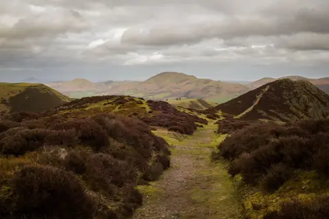
Maiden Way, Melmerby Fell preserves the earthworks of a former stretch of Roman road in Cumbria. The Albion Guide maps three stretches of Roman road in the county; this is one of them. It sits inside the North Pennines National Landscape. Langwathby Station is 9.7 km away to the south-west.
Full name: Maiden Way Roman Road, Melmerby Fell from Bank Rigg northwards to Rowgill Burn
More at the National Heritage List entry