Open accesson open access land, where the right to roam applies
Earthworks onlybanks, ditches and platforms — read the ground, not walls
Save this place
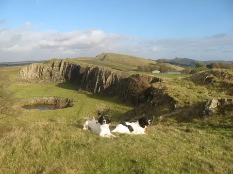
Maiden Way Roman road (Northumberland) preserves the earthworks of a former stretch of Roman road in Northumberland. The Albion Guide maps four stretches of Roman road in the county; this is one of them. It sits inside the North Pennines National Landscape.
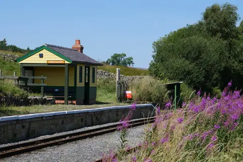
The closest station is Slaggyford, 4.1 km to the south. Nearby Roman sites include Fell End Roman temporary camp and Chapel Rigg Roman temporary camp.
More at the National Heritage List entry