Access unclearno public right of way confirmed — check locally before setting out
Save this place
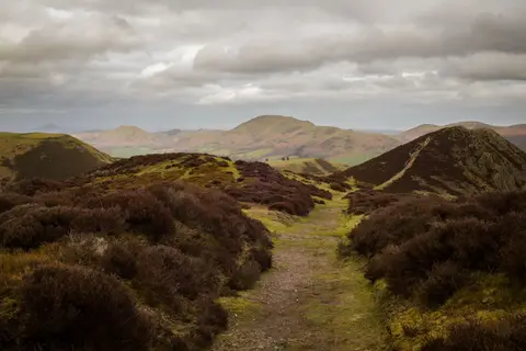
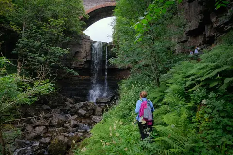
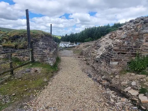
River South Tyne and Tynebottom Mine is a Site of Special Scientific Interest in Cumbria, covering 0.17 km². It is one of 235 SSSIs in the county. It lies inside the North Pennines National Landscape.
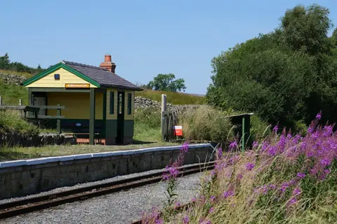
Alston Station is about 4.8 km away to the north-west. Other SSSIs nearby include Moorhouse and Cross Fell, Whitesike Mine and Flinty Fell and Smallcleugh Mine.