Ninety-two miles down the length of Staffordshire, from the folly on Mow Cop to the sandstone of Kinver Edge
Indicative — sampled from open terrain data along the simplified route.
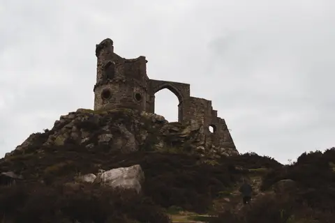
The Staffordshire Way runs for 92 miles down the length of its county, from Mow Cop on the Cheshire border in the north to Kinver Edge in the south, where Staffordshire meets Worcestershire. It begins at the hilltop folly of Mow Cop Castle, a mock ruin on a gritstone summit, and ends on the wooded sandstone ridge of Kinver Edge, once known for its rock-cut cave houses.
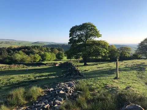
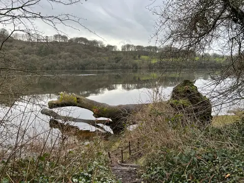
Between the two it takes in a good cross-section of the county. From the millstone-grit moors of the north it drops to Rudyard Lake, follows the Churnet Valley through woodland, then crosses farmland to the heaths and forestry of Cannock Chase, the largest area of open country in the Midlands. South of the Chase it passes Highgate Common on the way to Kinver. The walking is varied but never hard, and the trail is well waymarked throughout.
Staffordshire County Council laid the route out in three stages between 1977 and 1983, one of the earlier county long-distance paths — its first section won a national tourism award when it opened. It connects with several other trails, including the Heart of England Way, which it meets in the south.
Because it crosses the county rather than following a single river or ridge, the Staffordshire Way passes through or near a string of towns with stations, which makes it straightforward to walk in day sections using the train. The northern moorland and the crossing of Cannock Chase are the highlights for scenery.