Forty-six miles of White Peak, from Castleton in the Hope Valley south to the Dove at Rocester
Indicative — sampled from open terrain data along the simplified route.
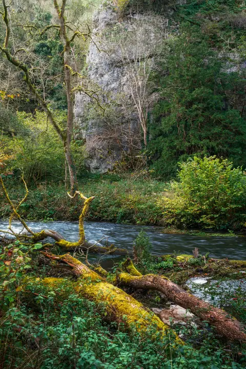
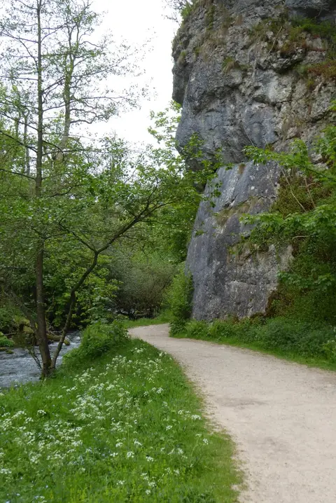
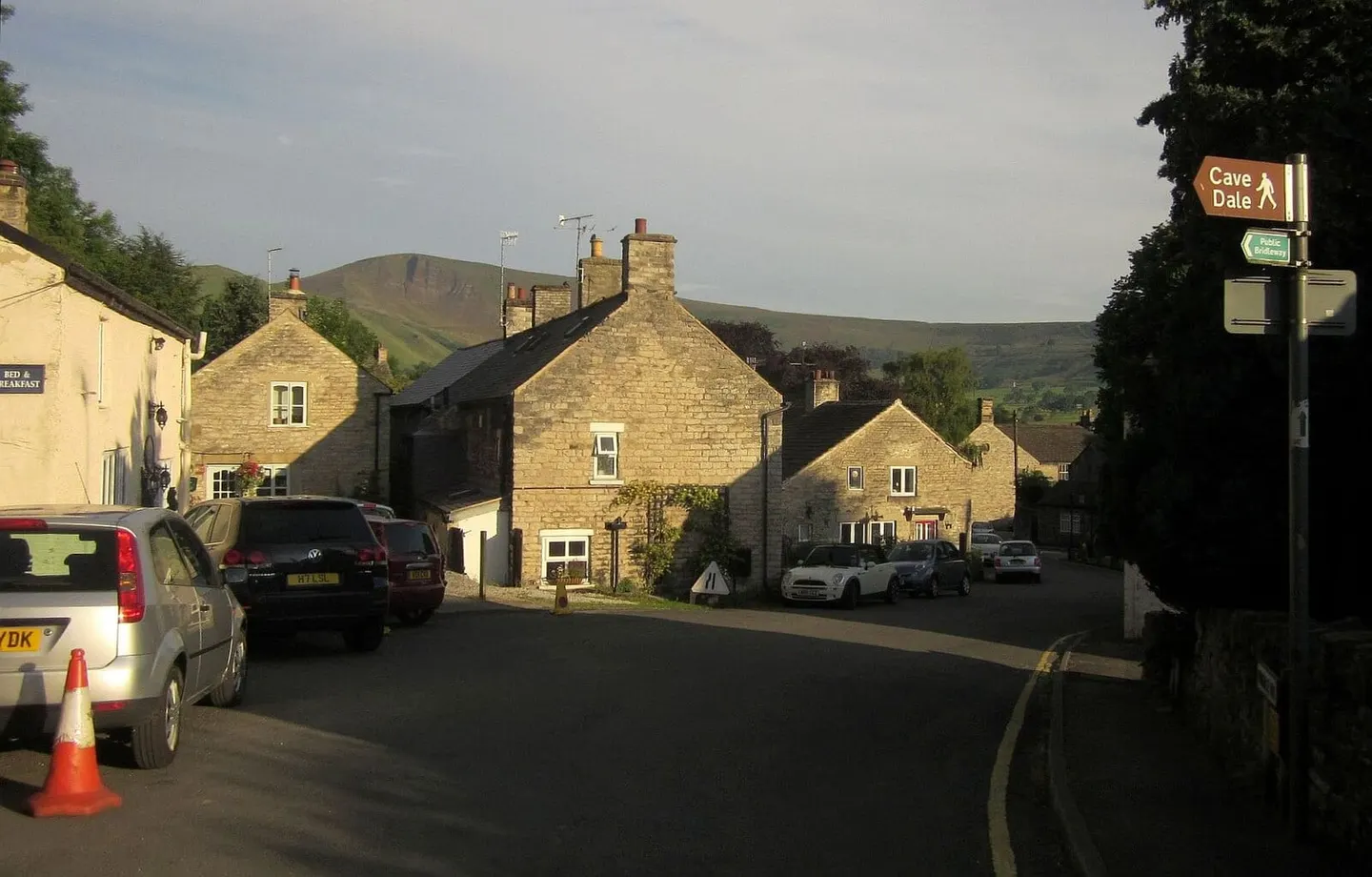
The Limestone Way crosses the White Peak — the pale, walled limestone plateau at the heart of the Peak District — for 46 miles between Castleton in the north and Rocester, over the Staffordshire border, in the south. It is named for the Carboniferous limestone it keeps to for most of the way, the rock that gives this country its dry-stone walls, its dales and the show caves for which Castleton is known.
From Castleton the route climbs onto Bradwell Moor and then spends its best miles among the dales of the central plateau, through Youlgreave and Bonsall and on towards the south. The northern half, among the limestone gorges, is the more rewarding; the southern end, across pasture into Staffordshire, is flatter and can be heavy going in wet weather. Nothing on the route is high or steep, and it is walked comfortably in three or four days.
It ends at Rocester on the River Dove, near the mouth of Dovedale, where it meets the Staffordshire Way — a link added in 1992, when the path was extended from its original finish at Matlock.
The Limestone Way was devised by Brian Spencer of the Matlock Rotary Club and opened in 1986. It is waymarked with a ram’s-head disc, and because it runs between villages rather than towns it stays quiet for much of its length, though buses reach both ends and several points between.